Recent searches
Loading...
1372-320 - Wide angle view of an Emerald Lake in front of Red Crater Volcano in the Tongariro National Park, New Zealand
1372-321 - Shore of the emerald lake. Natural vibrant colour gradient. View on the Red Crater Volcano of Tongariro National Park, New Zealand.
1372-318 - Shore of the emerald lake. Natural vibrant colour gradient. View on the Red Crater Volcano of Tongariro National Park, New Zealand.
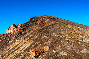
1372-304 - View along the slope and hiking trail up towards the Red Crater Volcano. On Tongariro Alpine Crossing in New Zealand
1372-302 - View along the slope and hiking trail up towards the Red Crater Volcano. On Tongariro Alpine Crossing in New Zealand
1372-295 - Red Crater and Ngauruhoe in Tongariro National Park, New Zealand
1372-270 - Panoramic view, sunrise at Tongariro-Nationalpark. Crater of Blue lake and Tongariro Volcano. New Zealand
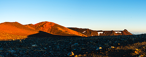
1372-269 - Sunrise at the volcano slopes Red Crater. Tongariro-Nationalpark, Tongariror Crossing New Zealand
1372-276 - Sunrise above the Emerald Lakes. View from red crater, Tongariro National Park, New Zealand
1372-273 - Panorama of the red sunrise on Red Crater Volcano. view of Mount Tongariro. New Zealand
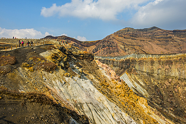
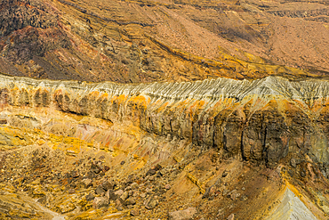
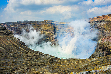
1184-11718 - Crater rim on Mount Naka active volcano, Mount Aso, Kyushu, Japan
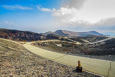
1184-11717 - Crater rim path on Mount Naka active volcano, Mount Aso, Kyushu, Japan
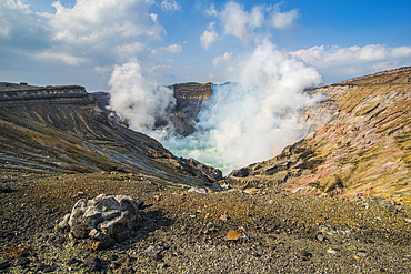
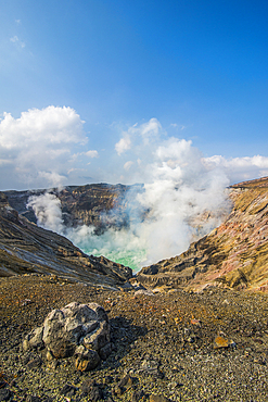
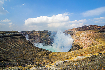
1184-11716 - Mount Naka active crater lake, Mount Aso, Kyushu, Japan
1184-11715 - Crater rim on Mount Naka active volcano, Mount Aso, Kyushu, Japan
1184-11714 - Crater rim path on Mount Naka active volcano, Mount Aso, Kyushu, Japan
1184-11712 - Mount Naka active crater lake, Mount Aso, Kyushu, Japan
1184-11713 - Mount Naka active crater lake, Mount Aso, Kyushu, Japan
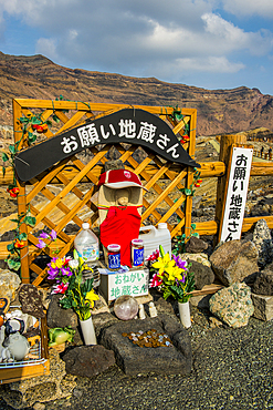
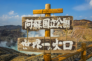
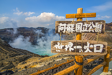
1184-11711 - Japanese warning sign on the Crater rim of Mount Naka active volcano, Mount Aso, Kyushu, Japan
1184-11710 - Japanese warning sign on the Crater rim of Mount Naka active volcano, Mount Aso, Kyushu, Japan
1184-11708 - Japanese warning sign on the Crater rim of Mount Naka active volcano, Mount Aso, Kyushu, Japan
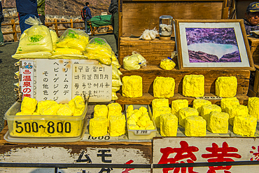
1184-11709 - Sulphur for sale on the Crater rim on Mount Naka active volcano, Mount Aso, Kyushu, Japan
1184-11707 - Mount Naka active crater lake, Mount Aso, Kyushu, Japan
1184-11706 - Mount Naka active crater lake, Mount Aso, Kyushu, Japan
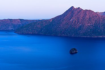
1372-145 - Calm purple evening light, of blue hour, deep blue Lake Mashu in a crater, Akan Mashu National Park, Hokkaido, Japan, Asia
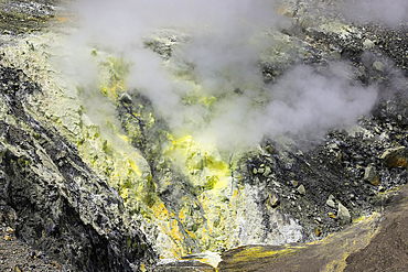
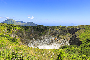
83-13438 - Steaming fumarole with sulphur deposits in Tompaluan active crater by Mount Lokon volcano near Tomohon city. Gunung Lokon, Tomohon, North Sulawesi, Indonesia
83-13437 - Steaming fumaroles, sulphur & volcanic strata in Tompaluan active crater by Mount Lokon volcano near Tomohon city. Gunung Lokon, Tomohon, North Sulawesi, Indonesia
83-13436 - Steaming fumaroles, sulphur & volcanic strata in Tompaluan active crater by Mount Lokon volcano near Tomohon city. Gunung Lokon, Tomohon, North Sulawesi, Indonesia
83-13435 - Sulphurous fumaroles & volcanic strata in Tompaluan active crater on the flank of Mount Lokon, a volcano near Tomohon city. Gunung Lokon, Tomohon, North Sulawesi, Indonesia
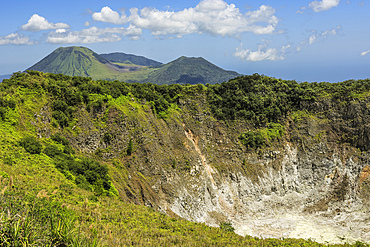
83-13430 - Mount Mahawu, a stratovolcano & active 180m wide crater, with Lokon (left) & Empung volcanoes beyond. Gunung Mahawu, Tomohon, North Sulawesi, Indonesia
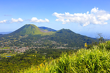
83-13427 - Mount Lokon volcano with Tompaluan active crater on the saddle between next door Mount Empung, near Tomohon city. Gunung Lokon, Tomohon, North Sulawesi, Indonesia
83-13425 - Mount Mahawu, a stratovolcano & active 180m wide crater, with Lokon (left) & Empung volcanoes beyond. Gunung Mahawu, Tomohon, North Sulawesi, Indonesia
83-13426 - Mounts Lokon (left) & Empung, with Tompaluan active crater on the saddle between, two volcanoes near Tomohon city. Gunung Lokon, Tomohon, North Sulawesi, Indonesia
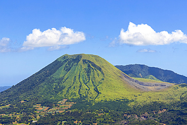
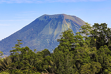
83-13419 - The peak of Mount Lokon, a stratovolcano with Tompaluan active crater on it's flank, near Tomohon city. Gunung Lokon, Tomohon, North Sulawesi, Indonesia
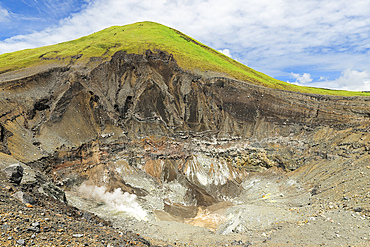
1245-2957 - Sulphur at the Stefanos Volcano Crater, detailed view, Nisyros Island, Dodecanese, Greek Islands, Greece, Europe
1245-2955 - Stefanos Volcano Crater, elevated view, Nisyros Island, Dodecanese, Greek Islands, Greece, Europe
1245-2951 - Stefanos Volcano Crater, elevated view, Nisyros Island, Dodecanese, Greek Islands, Greece, Europe
1245-2950 - Stefanos Volcano Crater, elevated view, Nisyros Island, Dodecanese, Greek Islands, Greece, Europe
1245-2949 - Sulphur at the Stefanos Volcano Crater, detailed view, Nisyros Island, Dodecanese, Greek Islands, Greece, Europe
1245-2944 - Stefanos Volcano Crater, Nisyros Island, Dodecanese, Greek Islands, Greece, Europe
1245-2941 - Stefanos Volcano Crater, elevated view, Nisyros Island, Dodecanese, Greek Islands, Greece, Europe
1245-2939 - Stefanos Volcano Crater at dusk, elevated view, Nisyros Island, Dodecanese, Greek Islands, Greece, Europe
1245-2920 - Stefanos Volcano Crater, Nisyros Island, Dodecanese, Greek Islands, Greece, Europe
1245-2921 - Stefanos Volcano Crater at sunset, elevated view, Nisyros Island, Dodecanese, Greek Islands, Greece, Europe
1245-2919 - Stefanos Volcano Crater, elevated view, Nisyros Island, Dodecanese, Greek Islands, Greece, Europe
1245-2916 - View towards Stefanos Volcano Crater, Nisyros Island, Dodecanese, Greek Islands, Greece, Europe
1245-2914 - Stefanos Volcano Crater, elevated view, Nisyros Island, Dodecanese, Greek Islands, Greece, Europe
1245-2913 - Stefanos Volcano Crater, Nisyros Island, Dodecanese, Greek Islands, Greece, Europe
1245-2912 - Stefanos Volcano Crater, elevated view, Nisyros Island, Dodecanese, Greek Islands, Greece, Europe
1245-2911 - Stefanos Volcano Crater, elevated view, Nisyros Island, Dodecanese, Greek Islands, Greece, Europe
1245-2910 - Sulphur at the Stefanos Volcano Crater, detailed view, Nisyros Island, Dodecanese, Greek Islands, Greece, Europe
1245-2909 - Stefanos Volcano Crater, elevated view, Nisyros Island, Dodecanese, Greek Islands, Greece, Europe
1245-2908 - View towards the Stefanos Volcano Crater, Nisyros Island, Dodecanese, Greek Islands, Greece, Europe
1245-2907 - Sulphur at the Stefanos Volcano Crater, detailed view, Nisyros Island, Dodecanese, Greek Islands, Greece, Europe
1245-2906 - View towards the Stefanos Volcano Crater, Nisyros Island, Dodecanese, Greek Islands, Greece, Europe
1245-2905 - Stefanos Volcano Crater, Nisyros Island, Dodecanese, Greek Islands, Greece, Europe
1245-2904 - Nikia Village and Stefanos Volcano Crater at sunset, elevated view, Nisyros Island, Dodecanese, Greek Islands, Greece, Europe
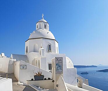
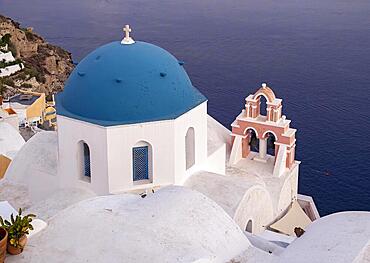
832-404057 - White-washed Church of St Minas, Agios Minas, Fira, Santorini, Greece, Europe
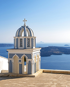
832-404056 - Belfry and view of sea, Church of St. Mark the Evangelist, Firostefani, Santorini, Greece, Europe
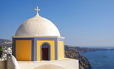
832-404055 - Sea view and Dome of Catholic Church of Saint Stylianos, Fira, Santorini, Greece, Europe
832-403965 - Caldera Blanca, Lanzarote, Canary Islands, Spain, Europe
1372-61 - View from above onto Lake Toya and the island inside the crater, in autumn, Abuta, Hokkaido, Japan, Asia
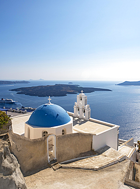
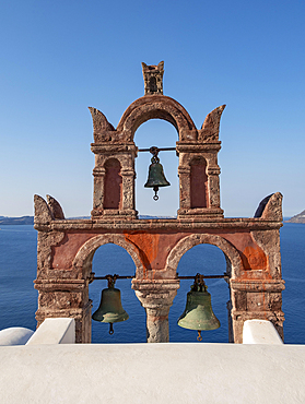
832-402543 - Three Bells of Fira, Iconic blue-domed church and belfry with sea view, Catholic Church of Dormition, Firostefani, Santorini, Greece, Europe
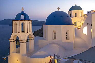
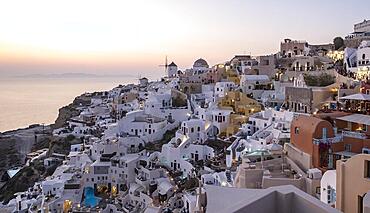
832-402541 - Two blue-domed churches, Agios Spiridonas, St Spyridon) and Church of Anastasis, Resurrection, at nightfall, Ia, Oia, Santorini, Greece, Europe
832-402540 - White churches with blue dome, Agios Spiridonas, St Spyridon) and Church of Anastasis, Resurrection, Ia, Oia, Santorini, Greece, Europe
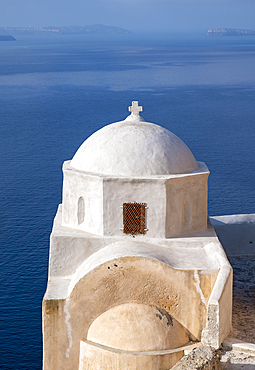
832-402533 - White-washed Agios Nikolaos Castle Church with blue sea in background, Ia, Oia, Santorini, Thira, Greece, Europe
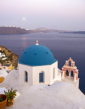
832-402531 - Blue-domed Orthodox Church of Anastasis at dusk, Ia, Oia, Santorini, Thira, Greece, Europe
832-402530 - Blue-domed Orthodox Church of Anastasis, Resurrection of Lord, Ia, Oia, Santorini, Thira, Greece, Europe
832-402529 - Cliff-side houses, villas and windmill in the village of Oia, Ia, as seen from the Kasteli Castle, Santorini, Greece, Europe
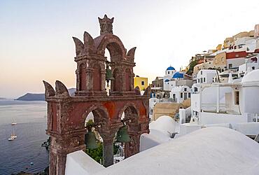
832-402527 - Old belfry wiith view of sea and caldera houses, Ia, Oia, Santorini, Greece, Europe
832-402526 - Old belfry wiith view of blue sea, Ia, Oia, Santorini, Greece, Europe
1336-920 - Miradouro do Cerrado das Freiras viewpoint on the huge volcanic crater that is now Lagoa Azul on Sao Miguel island, Azores Islands, Portugal, Atlantic, Europe
1336-916 - Miradouro do Cerrado das Freiras viewpoint on the huge volcanic crater that is now Lagoa Azul on Sao Miguel island, Azores Islands, Portugal, Atlantic, Europe
1184-8614 - Aerial of the volcanic crater with Lake Mazafim, island of Annobon, Equatorial Guinea, Africa
844-30134 - View of colourful rock formations near the Stefanoskrater Crater, Nisyros, Dodecanese, Greek Islands, Greece, Europe
844-30133 - View of visitors exploring the Stefanoskrater Crater, Nisyros, Dodecanese, Greek Islands, Greece, Europe
1369-22 - Aerial view of Saxholl crater, Hellisandur, Snæfellsnes Peninsula, Iceland, Polar Regions
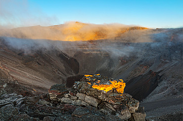
860-291772 - Summit crater of Piton de la Fournaise, Sainte-Rose, Saint-Philippe, Reunion Island, France
832-400654 - Volcanoes in Timanfaya National Park in the Canary Islands Aerial view on the island of Lanzarote, Spain, Europe
832-400652 - Green lake Charco de Los Clicos Verde near El Golfo in the Canary Islands Aerial view on the island of Lanzarote, Spain, Europe
832-400650 - Green lake Charco de Los Clicos Verde near El Golfo in the Canary Islands Aerial view on the island of Lanzarote, Spain, Europe
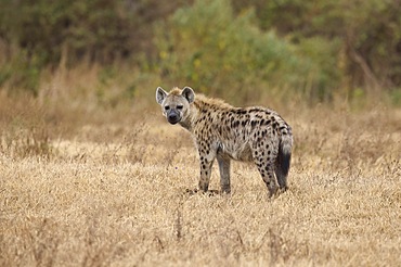
832-400078 - Spotted hyena (Crocuta crocuta), adult, alert, standing in the savannah, UNESCO protected area, Ngorongoro Crater, Tanzania, East Africa, Africa
1361-147 - Aerial view of the island of Vivara, the ancient volcano crater collapsed, with Ischia island's mountains in the background, Tyrrhenian Sea, Naples district, Naples Bay, Campania region, Italy, Europe
844-28569 - Aerial view of wine growing district of La Geria, Timanfaya National Park, Lanzarote, Canary Islands, Spain, Atlantic, Europe
844-28565 - Aerial view of wine growing district of La Geria, Timanfaya National Park, Lanzarote, Las Palmas, Canary Islands, Spain, Atlantic, Europe
844-28566 - Aerial view of wine growing district of La Geria, Timanfaya National Park, Lanzarote, Las Palmas, Canary Islands, Spain, Atlantic, Europe
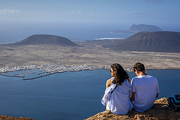
1350-6485 - Panorama of La Graciosa Island with Caleta del Sebo town, from Mirador del Rio. Lanzarote, Canary Islands, Spain
802-647 - Caldera Blanca, Lanzarote, Canary Islands, Spain, Atlantic, Europe
802-641 - Caldera Blanca, Lanzarote, Canary Islands, Spain, Atlantic, Europe
802-639 - Caldera Blanca, Lanzarote, Canary Islands, Spain, Atlantic, Europe
1112-7140 - Ubehebe Crater, a volcanic crater half a mile across and 600 feet deep, Death Valley National Park, California, United States of America, North America
1112-7139 - Ubehebe Crater, a volcanic crater half a mile across and 600 feet deep, Death Valley National Park, California, United States of America, North America
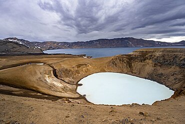
832-398111 - Crater lake Viti and Oeskjuvatn in the crater of the Askja volcano, volcanic landscape, Dyngjufjoell mountain massif, Icelandic highlands, Vatnajoekull National Park, Iceland, Europe
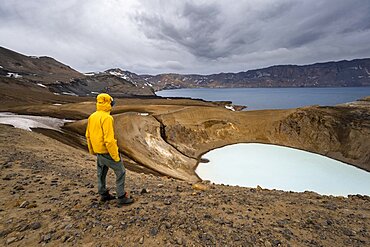
832-398112 - Tourist at the crater rim, crater lake Viti and Oeskjuvatn in the crater of Askja volcano, volcanic landscape, mountain massif Dyngjufjoell, Icelandic highlands, Vatnajoekull National Park, Iceland, Europe
832-398107 - Snow-covered volcanic landscape with volcanic sand and petrified lava, crater of Askja volcano, Icelandic highlands, Iceland, Europe
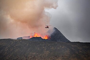
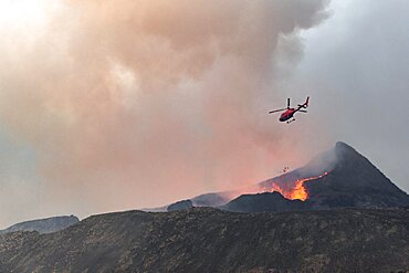
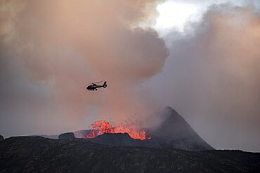
832-397587 - Helicopter flying over smoking active volcanic crater, glowing lava, volcanic eruption, active table volcano Fagradalsfjall, Krysuvik volcanic system, Reykjanes Peninsula, Iceland, Europe
832-397589 - Helicopter flying over smoking active volcanic crater, glowing lava, volcanic eruption, active table volcano Fagradalsfjall, Krysuvik volcanic system, Reykjanes Peninsula, Iceland, Europe
832-397588 - Smoking active volcanic crater, Glowing lava splashes over crater rim, Volcanic eruption, Active table volcano Fagradalsfjall, Krysuvik volcanic system, Reykjanes Peninsula, Iceland, Europe
832-397585 - Smoking active volcanic crater, Glowing lava splashes over crater rim, Volcanic eruption, Active table volcano Fagradalsfjall, Krysuvik volcanic system, Reykjanes Peninsula, Iceland, Europe
832-397586 - Helicopter flying over smoking active volcanic crater, glowing lava, volcanic eruption, active table volcano Fagradalsfjall, Krysuvik volcanic system, Reykjanes Peninsula, Iceland, Europe


