Recent searches
Loading...
1178-25781 - Australia, Outback, Northern Territory, Red Centre, West Macdonnel Ranges, Standley Chasm, Bare trees in rocky canyon
832-169564 - Crevice inside Weano Gorge, Pilbara, Northwest Australia
832-124251 - Morning Mood, Grand Canyon North Rim, Toroweap Point, Arizona, USA, America
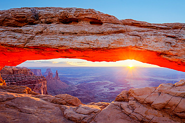
832-123702 - Mesa Arch stone arch at sunrise, Island in the Sky, Canyonlands National Park, Moab, Utah, USA, America
832-115080 - Roques de Garcia, Mount Teide, or Pico del Teide, Tenerife, Canary Islands, Spain, Europe
829-999 - View across the Grand Tsingy landscape of limestone karst in the Tsingy de Bemaraha National Park, UNESCO World Heritage Site, western Madagascar, Madagascar, Africa
764-2791 - Cascade in The Narrows of the Virgin River, Zion National Park, Utah, United States of America, North America
1116-47861 - Bright red sandstone in Bryce Canyon National Park, Utah, United States of America
911-8168 - Peat hags near Loadpot Hill above Ullswater in the Lake District, Cumbria, England, Unnited Kingdom, Europe
857-86011 - Hikers walk along Deer Creek Narrows in the Grand Canyon outside of Fredonia, Arizona November 2011. The 21.4-mile loop starts at the Bill Hall trailhead on the North Rim and descends 2000-feet in 2.5-miles through Coconino Sandstone to the level Esplanada then descends further into the lower canyon through a break in the 400-foot-tall Redwall to access Surprise Valley. Hikers connect Thunder River and Tapeats Creek to a route along the Colorado River and climb out Deer Creek.
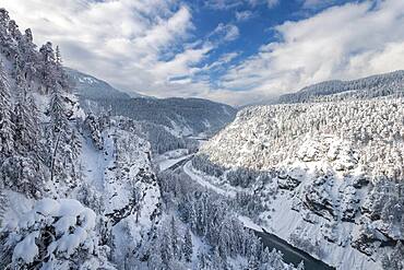
832-393269 - Ruinaulta or Rhine Gorge, winter landscape, Anterior Rhine, Flims, Canton Graubuenden, Switzerland, Europe
860-287106 - Tourist photograph, Eroded hills of sedimentary conglomerate and sandstone, Unesco World Heritage, Zhangye, China
1350-6446 - Colorful sunset over Junction Butte and Grandview Point with a sea of clouds below. Canyonlands National Park, Utah.
1350-6435 - Double Arch at night with the MIlky Way & artificial light painting with a hand-held spotlight. Arches National Park, Moab, Utah.
1350-6427 - Moon rising in the North Window, an Entrada sandstone arch in the WIndows Section of Arches National Park, Moab, Utah.
1350-6440 - Mesa Arch at sunrise with the Washer Woman Arch, Monster Tower & Airport Tower. Canyonlands National Park, Utah.
1116-51427 - Milky Way over a rock formation; Tres Cruces, Jujuy Province, Argentina
350-2131 - Desert landscape with rock formations in Monument Valley, Arizona, United States of America, North America
832-398105 - Stuolagil Canyon, turquoise river between basalt columns, Egilsstadir, Iceland, Europe
615-672 - Rock formations, Cappadocia, Anatolia, Turkey, Asia Minor, Asia
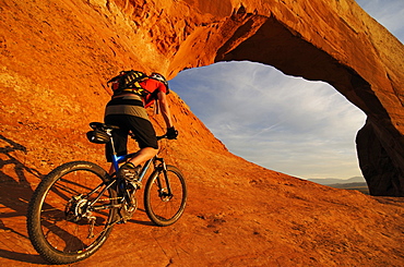
832-371885 - Mountain biker, Wilson Arch, Moab, Utah, USA
712-2181 - Valley of Goreme, central Cappadocia, Anatolia, Turkey, Asia Minor, Asia
733-1240 - Coastal rock formations, Yehliu, Taipei County, Taiwan, Asia
832-387885 - Rock formation at night with starry sky and Milky Way, Khermen Tsav, Umnugobi Province, Mongolia, Asia
832-343099 - Terrestrial Pyramids in Percha, South Tirol, Italy, Europe
1130-2211 - Fungus Rock Black Lagoon, Gozo, Malta, Mediterranean, Europe
817-13735 - Drei Zinnen (The Tree Chimneys), Dolomites, South Tyrol, Italyy
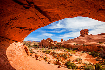
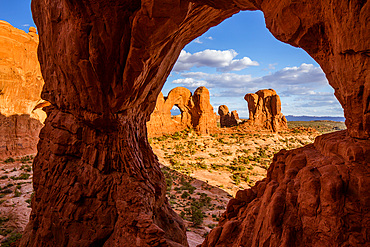
832-270519 - Delicate Arch, left, and the distant La Sal Mountains, framed by another small arch, Arches National Park, Utah, USA
83-12344 - Rock pillars formed by erosion of thick hard layer of calcrete over soft limestone, The Pinnacles Desert, Nambung National Park, near Cervantes, Dandaragan Shire, Western Australia, Australia, Pacific
845-711 - Buddo Rock on the Fife Coastal Path near Boarhills, Fife, Scotland, United Kingdom, Europe
832-123700 - Mesa Arch stone arch, Island in the Sky, Canyonlands National Park, Moab, Utah, USA, America
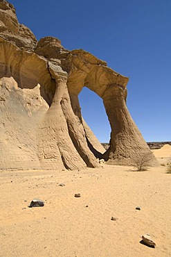
832-77378 - Tin Ghalega rock formation, Red Rhino Arch, Wadi Teshuinat, Akakus, Acacus Mountains or Tadrart Acacus, Sahara desert, Fezzan, Libya, North Africa
832-60059 - A hoodoo, rock formation, in warm evening light, in the Rimrocks area, Toadstool Valley, in southern Utah, USA
832-63764 - Rock formations and hoodoos in the evening light, Bryce Canyon National Park, Sunset Point, Utah, USA, America
832-42465 - West Mitten Butte in the last light of the day during a thunderstorm, Monument Valley, Arizona, USA
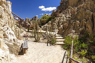
832-398365 - Circuit, visitor trail, Valle de la Luna, Moon Valley formed by erosion, also Killa Qhichwa, La Paz, Bolivia, South America
911-492 - Lundy Island, Devon, England, United Kingdom, Europe
832-380570 - Gorge, stream, Taugl, Tauglbach, Tauglbachklamm, Hallein District, Salzburg, Austria, Europe
450-4413 - Landscape of Pampas de Lequezana, where trees have been planted to prevent soil erosion, near Potosi, Bolivia, South America
1350-6437 - First light at sunrise on the Wingate cliffs of Junction Butte & Grandview Point with a sea of clouds below. Canyonlands NP, Utah. A winter temperature inversion produce this weather phenomenon.
832-388549 - Beautiful sunrise in Tsagaan suvarga. Dundgovi province, Mongolia, Asia
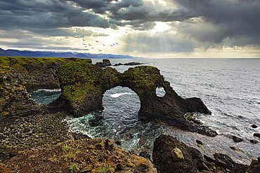
832-390005 - Eroded cliff at the Atlantic Ocean with Gatklettur and dramatic cloud formation, Arnarstapi, Faxafloi, Snaefellsnes Peninsula, Iceland, Europe
1178-30961 - United States, Utah, Springdale, Dirt road across desert landscape near Zion National Park
832-399401 - Wooden ladders over the stream in the gorges of the Slovak Paradise. Slovakia, Slowacki Raj National Park, Slovakia, Europe
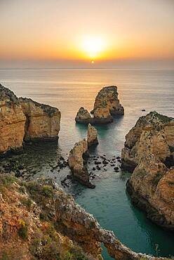
832-390809 - Rugged rocky coast with cliffs of sandstone, rock formations in the sea, Ponta da Piedade, dawn at sunrise, Algarve, Lagos, Portugal, Europe
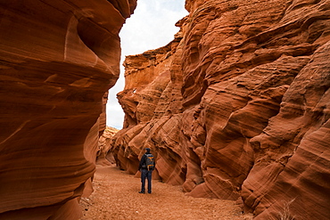
1116-49208 - Man walking in slot canyon known as Owl Canyon, near Page, Arizona, United States of America
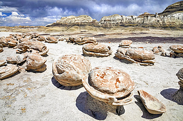
1116-51617 - Unique rock formations, Bisti Badlands, Bisti/De-Na-Zin Wilderness, San Juan County; New Mexico, United States of America
832-397656 - Panoramic road, gravel road in Monument Valley, prominent rocks, West Mitten Butte, East Mitten Butte, Merrick Butte on the horizon, dusk, film set, Arizona, USA, North America
832-397657 - Striking rocks, rock needles in Monument Valley, illuminated by the evening sun, film set, Arizona, USA, North America
29-4132 - Isolated chalk towers, remnants of karst, Farafra Oasis, White Desert, Western Desert, Egypt, North Africa, Africa
350-2133 - Desert landscape with rock formations in Monument Valley, Arizona, United States of America, North America
136-87 - Eroded rocks under an overcast stormy sky, the Painted Desert, Arizona, United States of America (USA), North America
83-8922 - Part of Nourlangie Rock, sacred aboriginal shelter and rock art site, Kakadu National Park, UNESCO World Heritage Site, Northern Territory, Australia, Pacific
739-374 - Favignana, Egadi Islands, Sicily, Italy, Mediterranean, Europe
832-374788 - Lollipop Rock, Brain Rocks at White Pocket, eroded Navajo sandstone rocks with Liesegang bands or Liesegang rings, Pareah Paria Plateau, Vermillion Cliffs National Monument, Arizona, Utah, Southwestern USA, USA
712-2183 - Valley of Goreme, central Cappadocia, Anatolia, Turkey, Asia Minor, Asia
733-1243 - Coastal rock formations, Yehliu, Taipei County, Taiwan, Asia
188-2994 - Limestone Stone Forest, near Kunming, Yunnan province, China, Asia
774-201 - The White Desert, Farafra Oasis, Egypt, North Africa, Africa
832-291037 - Rock formations, Youf Ahakit, Tassili du Hoggar, Wilaya Tamanrasset, Sahara Desert, Algeria, North Africa
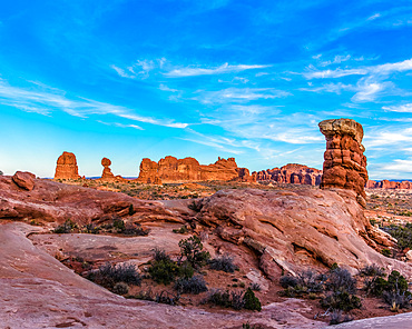
832-123693 - Balanced Rock, rock formation, evening mood, thunderstorm clouds, Arches National Park, Moab, Utah, Southwestern United States, United States of America, USA
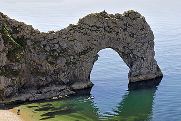
832-123443 - Durdle Door Arch, Lulworth, Dorset, southern England, England, United Kingdom, Europe
801-1776 - Horseshoe Bend, near Page, Arizona, United States of America, North America
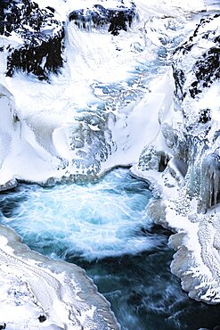
832-398056 - Icy and snow-covered Kolugljufur Canyon, Northern Iceland Vestra, Iceland, Europe
979-9048 - Views of the volcanic island Surtsey (Icelandic, meaning "Surtur's island"), the southernmost point of Iceland
857-86015 - Hikers walk along Deer Creek Narrows in the Grand Canyon outside of Fredonia, Arizona November 2011. The 21.4-mile loop starts at the Bill Hall trailhead on the North Rim and descends 2000-feet in 2.5-miles through Coconino Sandstone to the level Esplanada then descends further into the lower canyon through a break in the 400-foot-tall Redwall to access Surprise Valley. Hikers connect Thunder River and Tapeats Creek to a route along the Colorado River and climb out Deer Creek.
860-287099 - Tourist in Eroded hills of sedimentary conglomerate and sandstone, Unesco World Heritage, Zhangye, China
1350-6451 - Balanced Rock as viewed from the sotheast with another sandstone pillar in the foreground in Arches National Park, Moab, Utah.
1350-6452 - Orange glow from reflected light on the underside of Eye of the Whale Arch in Arches National Park, Moab, Utah.
832-390810 - Rugged rocky coast with cliffs of sandstone, rock formations in the sea, Ponta da Piedade, dawn at sunrise, Algarve, Lagos, Portugal, Europe
1116-49412 - Antelope Canyon, a slot canyon of Navajo Sandstone, Page, Arizona, United States of America
1116-51616 - Unique and patterned rock surfaces, Bisti Badlands, Bisti/De-Na-Zin Wilderness, San Juan County; New Mexico, United States of America
832-395104 - Aerial view, Landscape panorama, Dramatic volcanic landscape, Colourful erosion landscape with mountains, Lava field, Landmannalaugar, Fjallabak Nature Reserve, Suourland, Iceland, Europe
83-12037 - Sea stacks and dramatic limestone cliffs at The Twelve Apostles, Port Campbell National Park, Great Ocean Road, Victoria, Australia, Pacific
832-375666 - The Wave, rock formation in Coyote Buttes North, Paria Canyon-Vermilion Cliffs Wilderness, Utah, Arizona, USA
733-1242 - Coastal rock formations, Yehliu, Taipei County, Taiwan, Asia
149-5278 - A view of the Trypitos Arch on the south coast of Paxos, Ionian Islands, Greek Islands, Greece, Europe
733-1980 - Early morning light on corrugated badlands landscape at Zabriskie Point, Death Valley National Park, California, United States of America, North America
698-2231 - Rock arches and cliffs at Ponte da Piedade near Lagos, Algarve, Portugal, Europe
817-13626 - The Pinnacles, Nambung National Park, Western Australia
1112-1376 - Hikers on arch rock formation in Bryce Canyon Amphitheater, Bryce Canyon National Park, Utah, United States of America, North America
816-1771 - Red Tsingys, strange looking sandstone formations, near Diego Suarez (Antsiranana), Madagascar, Africa
832-121276 - View from Assekrem over the volcanic landscape of Atakor, Hoggar, Ahaggar Mountains, Wilaya Tamanrasset, Algeria, Sahara, North Africa
832-124429 - Rock formations and hoodoos in the evening, Bryce Canyon National Park, Sunset Point, Utah, USA, America
832-71276 - Off-road vehicle driving though a rock arch shaped by wind erosion, Acacus Mountains, Sahara desert, Libya, Africa
770-1706 - Bourke's Luck Potholes, created by river erosion, Blyde River Canyon, Mpumalanga, South Africa, Africa
832-74449 - Guadalevin River and waterfall, Puente Nuevo, El Tajo Gorge, Ronda, Malaga Province, Andalusia, Spain, Europe
832-58051 - View of O'Neill Butte from Yaki Point at first morning light, South Kaibab Trail, Bright Angel Canyon and Trail, Grand Canyon National Park, South Rim, Arizona, United States of America, USA
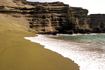
920-131 - Green Sand Beach, Big Island, Hawaii, United States of America, Pacific
911-4102 - Trees planted in Loess deposits in Shanxi province, northern China, Asia
911-7877 - Sea stacks and sea arch seen from a sea cave on the North East coast at Whitburn, between Newcastle and Sunderland, Tyne and Wear, England, United Kingdom, Europe
911-7871 - Sea stacks and sea arch on the North East coast at Whitburn, between Newcastle and Sunderland, Tyne and Wear, England, United Kingdom, Europe
799-1828 - Twilight on the rocky shores of Kilve, Somerset, England, United Kingdom, Europe
1190-505 - Mobius arch, natural arch formed out of granit rock at sunrise, lone pine peak, 12994, feet, mt. whitney, 14497, feet, highest peak of lower 48, alabama hills, sierra nevada, lone pine, california, usa
1350-6447 - The Milky Way over Balanced Rock in Arches National Park, Moab, Utah, USA. A small spotlight was used to light paint the rock formation.
1350-6439 - Above the clouds of a winter temperature inversion in Canyonlands National Park, Moab, Utah. Viewed from Buck Canyon Overlook, Island in the Sky District.
1350-6434 - Snow on the Petrified Dunes in winter with the La Sal Mountains in the clouds behind. Arches National Park, Moab, Utah.
1350-6438 - The Parade of Elephants and the back of Double Arch framed by Cove Arch in Arches National Park, Moab, Utah.


