Recent searches
Loading...
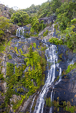
759-11781 - Stoney Creek Falls at Kuranda, Kuranda, Cairns, Australia
832-399129 - Male hiker walking on bridge over a fairy tale creek
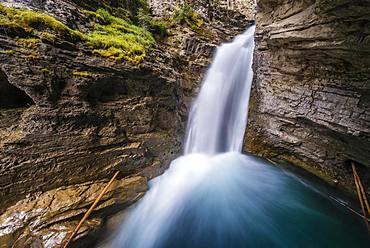
832-397759 - Waterfall, Lower Falls, Mountain River in a Gorge, Johnston Creek in Johnston Canyon, Bow Valley, Banff National Park, Rocky Mountains, Alberta, Canada, North America
832-397757 - Waterfall, Upper Falls, mountain river in a gorge, Johnston Creek in Johnston Canyon, Bow Valley, Banff National Park, Rocky Mountains, Alberta, Canada, North America
832-397758 - Waterfall, Lower Falls, Mountain River in a Gorge, Johnston Creek in Johnston Canyon, Bow Valley, Banff National Park, Rocky Mountains, Alberta, Canada, North America
1112-6884 - Fall color change amongst the trees and shrubs on the Rock Creek Trail in Denali National Park, Alaska, United States of America, North America
1112-6886 - Fall color change amongst the trees and shrubs on the Rock Creek Trail in Denali National Park, Alaska, United States of America, North America
832-396256 - View into the valley of Butter Creek, autumnal mountain landscape, Mount Rainier National Park, Washington, USA, North America
1350-5519 - waterfall in Huzmeana creek. Saja-Besaya Natural Park. Cantabria, Spain, Europe.
1241-323 - Mountain creek with waterfalls near Maligne Canyon, Athabasca River Basin, Jasper National Park, UNESCO World Heritage Site, Alberta, Canadian Rockies, Canada, North America
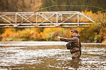
1178-39880 - Caucasian man carrying fishing rod on bridge
1350-4282 - Trees and riverbed with fallen leaves in autumn. Urederra river source. Urbasa-Andia Natural Park. Navarre, Spain, Europe.
1241-269 - Colourful sunrise over Three Sisters at Policeman Creek in autumn, Canmore, Banff, Alberta, Canadian Rockies, Canada, North America
1241-267 - Colourful sunrise over Three Sisters at Policeman Creek in autumn, Canmore, Banff, Alberta, Canadian Rockies, Canada, North America
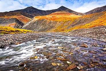
1116-50682 - Kuyuktuvuk Creek and Brooks Mountains in fall colours. Gates of the Arctic National Park and Preserve, Arctic Alaska in autumn; Alaska, United States of America
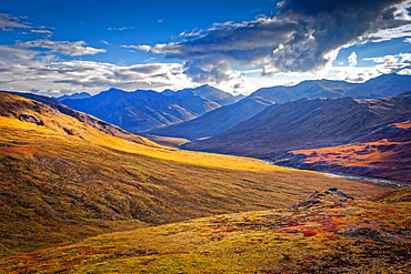
1116-50684 - Brooks Mountains and Kuyuktuvuk Creek Valley in fall colours under blue sky. Gates of the Arctic National Park and Preserve, Arctic Alaska in autumn; Alaska, United States of America
1350-2972 - Salt Creek Falls, Willamette National Forest, Oregon.
1350-3148 - Alders, ferns and firs. Drift Creek Falls Trail, Siuslaw National Forest, Coast Range Mountains, Oregon.
1350-3089 - Wildcat Bridge, also known as the Austa Bridge, on Wildcat Creek at the Siuslaw River; Coast Range Mountains, Oregon.
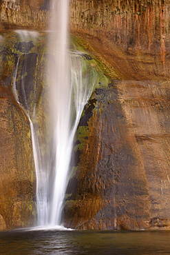
1350-3099 - Lower Calf Creek Falls drops down a sandstone rock face in Grand Staircase - Escalante National Monument, Utah.
1350-2970 - Brice Creek Falls, Umpqua National Forest, Oregon.
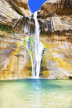
718-2680 - Lower Calf Creek Falls, Grand Staircase Escalante National Monument, Utah, United States of America, North America
832-386349 - Storulfossen Waterfall with Rainbow, Store Ula River, Autumn, Rondane National Park, Norway, Europe
832-384561 - Hiker with raised arms in front of a high waterfall, water falls over a rocky outcrop, Tamanawas Falls, Wild River Cold Spring Creek, Oregon, USA, North America
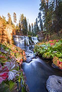
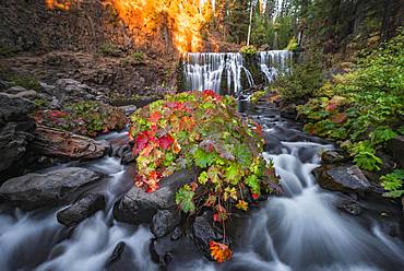
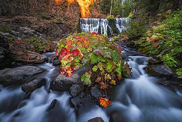
832-384461 - Middle Falls, Fall Waterfall, McCloud River, Siskiyou County, California, USA, North America
832-384340 - Waterfall, Upper Falls, Mountain River in a Gorge, Johnston Creek in Johnston Canyon, Bow Valley, Banff National Park, Rocky Mountains, Alberta, Canada, North America
832-384339 - Waterfall, Lower Falls, Mountain River in a Gorge, Johnston Creek in Johnston Canyon, Bow Valley, Banff National Park, Rocky Mountains, Alberta, Canada, North America
832-384562 - Waterfall flows over rocky outcrop, long term exposure, River Cold Spring Creek, Tamanawas Falls, Oregon, USA, North America
832-384462 - Middle Falls, Fall Waterfall, McCloud River, Siskiyou County, California, USA, North America
832-386348 - Storulfossen Waterfall, Store Ula River, Autumn, Rondane National Park, Norway, Europe
832-384463 - Middle Falls, Fall Waterfall, McCloud River, Siskiyou County, California, USA, North America
832-384464 - Middle Falls, Fall Waterfall, McCloud River, Siskiyou County, California, USA, North America
1116-47764 - Denali National Park and Preserve as seen from Peters Hills with 20320' Mount Denali, formally know as Mount McKinley, and the Alaska Range, Trapper Creek, Alaska, United States of America
1116-48087 - An attractive middle-aged woman wearing active wear pauses to text message while out running beside a creek in a city park on a warm fall evening and listening to music on her smart phone, Edmonton, Alberta, Canada
1116-48085 - An attractive middle-aged woman wearing active wear and listening to music while pausing to do some stretch exercises during a run in a city park at sunset on a warm autumn evening, Edmonton, Alberta, Canada
1116-48086 - An attractive middle-aged woman wearing active wear and listening to music while pausing to do some stretch exercises during a run in a city park at sunset on a warm autumn evening, Edmonton, Alberta, Canada
1116-47719 - Beaver Creek Falls, where Sweet Creek meets Beaver Creek, Mapleton, Oregon, United States of America
1116-44458 - Abiqua Falls, Cascade Locks, Oregon, United States Of America
1241-181 - Creek flowing near Mary Ann Falls, Cape Breton Highlands National Park, Nova Scotia, Canada, North America
1174-6291 - Time lapse view of river flowing over icy rock formations, Gullfoss, Iceland
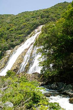
1172-4500 - Oogawa Falls, Kagoshima Prefecture, Yakushima, Kagoshima Prefecture
1186-318 - Fall colours along McDonald Creek, Glacier National Park, Montana, United States of America, North America
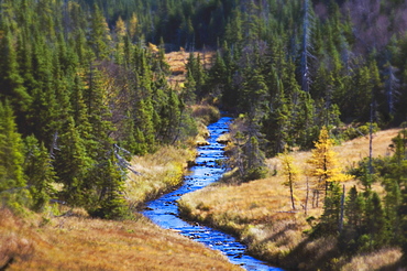
1116-42083 - River Runs Through Spruce, Pine And Larch Forest Cape Breton Highlands National Park.
1113-102804 - Nikko Kegon Falls and Lake Chuzenji colorful in autumn, Nikko, Tochigi Prefecture, Japan
1116-40584 - Wahclella Falls, Columbia River Gorge, Oregon, Usa
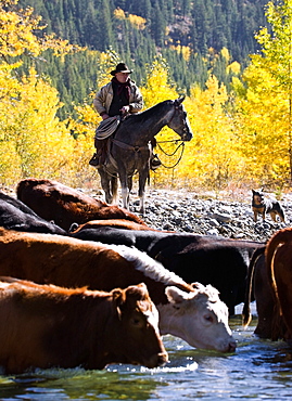
1116-40771 - Cowboy Herding Cattle Across River, Alberta, Canada
1116-41014 - Creek Running Through The Rainforest, Victoria, Australia
1241-103 - Bear Creek Falls waterfall, Glacier National Park of Canada, British Columbia, Canada, North America
1241-102 - Bear Creek Falls waterfall, Glacier National Park of Canada, British Columbia, Canada, North America
1112-3538 - Lower Calf Creek Falls, Grand Staircase-Escalante National Monument, Utah, United States of America, North America
1112-3539 - Navajo sandstone in Lower Calf Creek Falls Trail, Grand Staircase-Escalante National Monument, Utah, United States of America, North America
1112-3537 - Hikers at Lower Calf Creek Falls, Grand Staircase-Escalante National Monument, Utah, United States of America, North America
1112-3536 - Navajo sandstone in Lower Calf Creek Falls Trail, Grand Staircase-Escalante National Monument, Utah, United States of America, North America
1112-3534 - Native Pueblo rock art, Lower Calf Creek Falls Trail, Grand Staircase-Escalante National Monument, Utah, United States of America, North America
1112-3535 - Lower Calf Creek Falls, Grand Staircase-Escalante National Monument, Utah, United States of America, North America
764-5809 - Clouds over the palisades at Owl Creek Pass in the fall, Uncompahgre National Forest, Colorado, United States of America, North America
764-5810 - Clouds over the palisades at Owl Creek Pass in the fall, Uncompahgre National Forest, Colorado, United States of America, North America
764-5811 - Courthouse Mountain from Owl Creek Pass in the fall, Uncompahgre National Forest, Colorado, United States of America, North America
857-94108 - Young girl riding mountain bike through a grass field in Falls Creek
857-94117 - Fall Color Illuminates The Flowing Water Of Icicle Creek
785-2165 - Tumalo Falls, a 97-foot waterfall on Tumalo Creek, in the Cascade Range west of Bend, Oregon, United States of America, North America
785-2164 - Tumalo Falls, a 97-foot waterfall on Tumalo Creek, in the Cascade Range west of Bend, Oregon, United States of America, North America
1113-101691 - Woman crossing the Morteratsch Creek near the glacier mouth of Morteratsch glacier with view to Bellavista (3922 m), Piz Bernina
1113-101695 - Woman crossing the Morteratsch Creek near the glacier mouth of Morteratsch glacier with view to Piz Bernina (4049 m), Engadin, G
1113-101697 - Golden larches along the bank of the Morteratsch Creek with Piz Albris (3166 m), Morteratsch valley, Engadin, Grisons, Switzerla
764-5466 - Owl Creek Pass palisade with fall color, Uncompahgre National Forest, Colorado, United States of America, North America
764-5471 - Rock Creek Lake in the fall with fog, Inyo National Forest, California, United States of America, North America
764-5472 - Rock Creek Lake in the fall with fog, Inyo National Forest, California, United States of America, North America
764-5464 - Big Spring Creek Falls, Gifford Pinchot National Forest, Washington, United States of America, North America
857-91844 - A woman rappelling down next to Deer Creek Falls, Grand Canyon, Arizona.
1178-25133 - View of Butte Creek Falls, USA, Oregon, Marion County, Butte Creek Falls
1178-25134 - View of Butte Creek Falls, USA, Oregon, Marion County, Butte Creek Falls
857-91045 - August 16, 2008 Bear waddling around and eating salmon in stream at Dog Salmon Creek Falls on Prince of Whales Island, SE Alaska, United States of America
857-89709 - Hikers setup camp on a beach along the Colorado River near the plumeting 180-foot Deer Creek Falls in the Grand Canyon outside of Fredonia, Arizona November 2011. The 21.4-mile loop starts at the Bill Hall trailhead on the North Rim and descends 2000-feet in 2.5-miles through Coconino Sandstone to the level Esplanada then descends further into the lower canyon through a break in the 400-foot-tall Redwall to access Surprise Valley. Hikers connect Thunder River and Tapeats Creek to a route along the Colorado River and climb out Deer Creek.
857-89713 - Female hiker cooks dinner on a cliff-pinched patio above camp and the Colorado River near Deer Creek Falls in the Grand Canyon outside of Fredonia, Arizona November 2011. The 21.4-mile loop starts at the Bill Hall trailhead on the North Rim and descends 2000-feet in 2.5-miles through Coconino Sandstone to the level Esplanada then descends further into the lower canyon through a break in the 400-foot-tall Redwall to access Surprise Valley. Hikers connect Thunder River and Tapeats Creek to a route along the Colorado River and climb out Deer Creek.
857-89710 - Hikers cook dinner on a cliff-pinched patio above camp and the Colorado River near Deer Creek Falls in the Grand Canyon outside of Fredonia, Arizona November 2011. The 21.4-mile loop starts at the Bill Hall trailhead on the North Rim and descends 2000-feet in 2.5-miles through Coconino Sandstone to the level Esplanada then descends further into the lower canyon through a break in the 400-foot-tall Redwall to access Surprise Valley. Hikers connect Thunder River and Tapeats Creek to a route along the Colorado River and climb out Deer Creek.
857-89708 - Hikers swim in the pool below 180-foot Deer Creek Falls in the Grand Canyon outside of Fredonia, Arizona November 2011. The 21.4-mile loop starts at the Bill Hall trailhead on the North Rim and descends 2000-feet in 2.5-miles through Coconino Sandstone to the level Esplanada then descends further into the lower canyon through a break in the 400-foot-tall Redwall to access Surprise Valley. Hikers connect Thunder River and Tapeats Creek to a route along the Colorado River and climb out Deer Creek.
857-89712 - Male hiker filters water on a cliff-pinched patio near Deer Creek Falls in the Grand Canyon outside of Fredonia, Arizona November 2011. The 21.4-mile loop starts at the Bill Hall trailhead on the North Rim and descends 2000-feet in 2.5-miles through Coconino Sandstone to the level Esplanada then descends further into the lower canyon through a break in the 400-foot-tall Redwall to access Surprise Valley. Hikers connect Thunder River and Tapeats Creek to a route along the Colorado River and climb out Deer Creek.
857-89711 - Male hiker filters water on a cliff-pinched patio near Deer Creek Falls in the Grand Canyon outside of Fredonia, Arizona November 2011. The 21.4-mile loop starts at the Bill Hall trailhead on the North Rim and descends 2000-feet in 2.5-miles through Coconino Sandstone to the level Esplanada then descends further into the lower canyon through a break in the 400-foot-tall Redwall to access Surprise Valley. Hikers connect Thunder River and Tapeats Creek to a route along the Colorado River and climb out Deer Creek.
1174-3734 - Fall colours in the Wasatch Mountains. Forests of aspen and maple, Snake Creek Canyon, Utah, USA
1174-3736 - Fall colours in the Wasatch Mountains, Snake Creek Canyon, Utah, USA
1178-24575 - Scenic view of stream in forest, Sweet Creek, Oregon
1178-16115 - Meytre Grist Mill, Small waterfall, Meytre Grist Mill, McGalliard Falls, Valdese, North Carolina
1178-12523 - Old Mill in Babcock State Park in West Virginia
1178-12522 - Old Mill in Babcock State Park in West Virginia
1178-12601 - USA, Oregon, Silver Falls State Park, Silver Creek
1178-7457 - USA, Oregon, Eagle Creek, Punch Bowl Falls
1178-7917 - USA, Oregon, Silver Falls State Park, Silver Creek
1178-7787 - USA, Oregon, Scenic view of Upper Butte Creek Falls
