Recent searches
Loading...
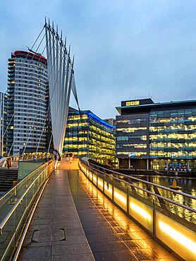
845-1057 - Media City UK at dusk, Salford, Manchester, England, United Kingdom, Europe
845-1054 - Media City UK at dusk, Salford, Manchester, England, United Kingdom, Europe
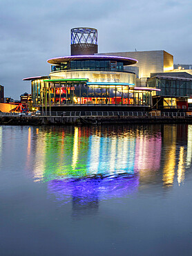
845-1053 - Quays Theatre and Lowry at Salford Quays, Manchester, England, United Kingdom, Europe
845-1055 - Quays Theatre and Lowry at Salford Quays, Manchester, England, United Kingdom, Europe
845-1056 - BBC Buildings at Media City UK, Salford, Manchester, England, United Kingdom, Europe
832-394472 - Saint Mark's Lion, Venetian Lion in a Painting, Interior, Doge's Palace, Palazzo Ducale, Venice, Veneto, Italy, Europe
832-393838 - View through an archway onto St Mark's Square with the Campanile bell tower and the Basilica of St Mark, San Marco, Venice, Veneto, Italy, Europe
1348-4587 - Pine Island Bay, Amundsen Sea, Antarctica, True Colour Satellite Image. True colour satellite of Pine Island Bay in the Amundsen Sea.The blakek mark crossing the image shows the limit between the indlansis of the Wallgreen coast and Pine Island Bay in Amundsen Sea, in the Western part of Antarctica. Image taken on 13 January 2001 using LANDSAT data.
1116-51877 - Man in a wheelchair looking at a map of a city posted on a wall
1116-51880 - Man in wheelchair with spinal cord injury walking with service dog and pregnant wife
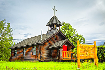
1116-50714 - Historic log building of St. Mark’s Episcopal Church, Interior Alaska in summertime; Nenana, Alaska, United States of America
1116-51869 - Fresco, Holy Trinity Cathedral, founded in 1902; Sibiu, Transylvania Region, Romania
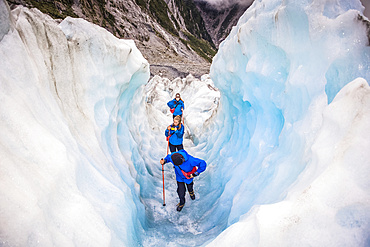
1116-52203 - Travelers exploring the famous Franz Josef Glacier with its, blue ice caves, deep crevasses and tunnels that mark the ever changing ice formations; West Coast, New Zealand
1116-51882 - Public works engineer on service boat in reservoir
1116-51878 - Man in wheelchair holding caution tape
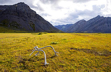
1116-52246 - A caribou rack lit up by the sun, marks the end of a remote bush airstrip in the Upper Marsh Fork Valley, Brooks Range, Arctic National Wildlife Refuge; Alaska, United States of America
1116-51879 - Man in a wheelchair opens the front door of his home and looks out
1116-51881 - Security boat patrolling public water supply
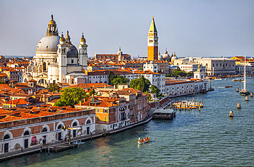
1116-51653 - Santa Maria della Salute and the Campanile of St. Mark's Square on the Grand Canal; Venice, Italy
1116-52202 - Travellers explore New Zealand's famous Franz Josef Glacier. Blue Ice, deep crevasses, caves and tunnels mark the ever changing ice; West Coast, New Zealand
1116-52200 - Travellers explore New Zealand's famous Franz Josef Glacier. Blue Ice, deep crevasses, caves and tunnels mark the ever changing ice; West Coast, New Zealand
1116-52205 - Travelers entering an ice tunnel while exploring the famous Franz Josef Glacier with its, blue ice caves, deep crevasses and tunnels that mark the ever changing ice formations; West Coast, New Zealand
1116-52201 - Travellers explore New Zealand's famous Franz Josef Glacier. Blue Ice, deep crevasses, caves and tunnels mark the ever changing ice; West Coast, New Zealand
1116-52199 - Travellers explore New Zealand's famous Franz Josef Glacier. Blue Ice, deep crevasses, caves and tunnels mark the ever changing ice; West Coast, New Zealand
1116-52198 - A tight squeeze for travelers exploring New Zealand's famous Franz Josef Glacier, iwth its blue Ice, deep crevasses, caves and tunnels that mark the ever changing ice formations; West Coast, New Zealand
1113-106962 - men on a sailing boat, nile, luxor, egypt
1113-106935 - man on a sailing boot, luxor, aswan, egypt
1113-105613 - On an August afternoon in St. Mark's Square in Venice, Veneto, Italy, Europe
1113-105556 - View of the Lion of St. Mark and Doge's Palace at sunset, Piazza San Marco, Venice, Veneto, Italy, Europe
1113-105559 - View of the Venetian gondolas and a gondolier on St. Mark's Square, in the background the island of San Giorgio, Venice, Veneto, Italy, Europe
1113-105552 - View of the Lion of St. Mark and Doge's Palace at sunset, Piazza San Marco, Venice, Veneto, Italy, Europe
1113-106241 - Compass rose at the end of the jetty Molo Audace, marks the place where the Audace torpedo docked in the port during World War I, brass compass, Trieste, Friuli-Venezia Giulia, Italy
832-393445 - Piazza San Marco with Palazzo Ducale, St Mark's Square with Doge's Palace, Venezia, Venice, historical photo from 1960, Italy, Europe
845-1051 - The Railway Viaduct at Knaresborough at dusk, Knaresborough, Yorkshire, England, United Kingdom, Europe
845-1052 - Knaresborough Castle floodlit at dusk, Knaresborough, Yorkshire, England, United Kingdom, Europe
845-1050 - Knaresborough Viaduct at sunset, Knaresborough, Yorkshire, England, United Kingdom, Europe
845-1049 - Knaresborough Viaduct at sunset, Knaresborough, Yorkshire, England, United Kingdom, Europe
845-1047 - John Smiths Brewery, Tadcaster, North Yorkshire, Yorkshire, England, United Kingdom, Europe
845-1048 - John Smiths Brewery, Tadcaster, North Yorkshire, Yorkshire, England, United Kingdom, Europe
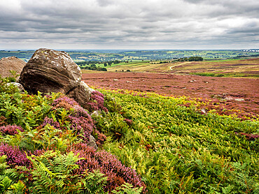
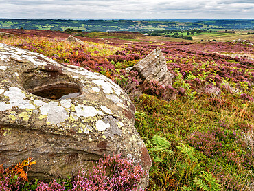
845-1044 - High Crag near Pateley Bridge in Nidderdale, Yorkshire, England, United Kingdom, Europe
845-1045 - High Crag near Pateley Bridge in Nidderdale, Yorkshire, England, United Kingdom, Europe
845-1043 - The Nidderdale Way near Pateley Bridge, Yorkshire, England, United Kingdom, Europe
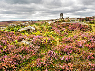
845-1046 - High Crag near Pateley Bridge in Nidderdale, Yorkshire, England, United Kingdom, Europe
860-290383 - Calderon tropical (Globicephala macrorhynchus) with scars and scratches caused by interactions between individuals of the same species, although so many marks are not common. Tenerife, Canary Islands.
1350-3640 - Tourists take photos from vaporetto, with Campanile di San Marco (St. Mark's bell tower) in view, Venice, Italy
1350-3637 - View of Church of San Giorgio Maggiore
from the Campanile di San Marco (St. Mark's bell tower), Venice, Italy
1350-3636 - View of Piazza San Marco and the Basilica of San Marco (St. Mark's Basilica) from the Campanile di San Marco (St. Mark's bell tower), Venice, Italy
1350-3630 - The Campanile di San Marco (St. Mark's bell tower) from the Canale di San Marco, Venice.
1350-3638 - View of Piazza San Marco from the Campanile di San Marco (St. Mark's bell tower), Venice, Italy
1178-36108 - Girls talking and texting on cell phones in ballet studio
1178-36082 - Frustrated African American soldier sitting on front stoop
1178-36127 - Caucasian teenage girl running on boardwalk
1178-36092 - Mother and daughters decorating cake with icing
1178-36124 - Caucasian teenage girl leaning on railing at beach
1178-36119 - Family waiting on floor of airport using cell phones
1178-36114 - Girls sitting on floor of ballet studio
1178-36104 - Portrait of smiling girl in ballet studio
1178-36107 - Portrait of smiling girls hugging on floor of ballet studio
1178-36105 - Portrait of smiling girl in ballet studio
1178-36110 - Portrait of girl smiling in ballet studio
1178-36125 - Caucasian teenage girl leaning on railing at beach
1178-36099 - African American mother helping daughter with homework
1178-36112 - Girls sitting in a row on floor of ballet studio
1178-36103 - Girls standing and talking in ballet studio
1178-36080 - Smiling African American soldier sitting on front stoop reading letter
1178-36081 - Soldier and parents sitting on front stoop posing for cell phone selfie
1178-36087 - African American soldier running in race with son
1178-36122 - Asian man texting on cell phone in brew pub
1178-36091 - African American boy greeting returning soldier father
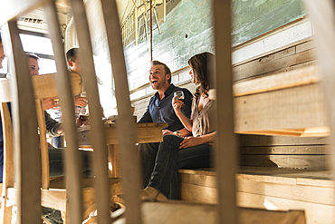
1178-36123 - Friends laughing in brew pub behind chair
1178-36077 - Multi-generation family toasting with lemonade at picnic
1178-36086 - African American soldier mother carrying son
1178-36089 - African American soldier kissing wife on cheek
1178-36126 - Caucasian teenage girl leaning on railing at beach
1178-36095 - Portrait of smiling African American woman at beach
1178-36113 - Teacher and students practicing in ballet studio
1178-36090 - African American woman and boy walking with soldier
1178-36088 - African American soldier tying shoelace for son
1178-36079 - Smiling African American soldier couple talking near car
1178-36085 - African American soldier mother carrying and hugging son
1178-36106 - Portrait of smiling girls in ballet studio
1178-36116 - Children waiting in airport with family and using digital tablet
1178-36111 - Girls standing in a row in ballet studio
1178-36100 - Girls sitting on floor and talking in ballet studio
1178-36083 - Soldier and multi-generation family looking down at cell phone
1178-36120 - Family waiting in airport using cell phones
1178-36117 - Portrait of girl waiting in airport with family
1178-36084 - Multi-generation family laughing at cell phone


