Recent searches
Loading...
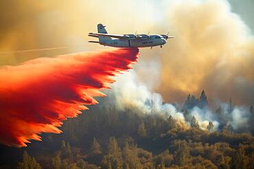
832-402308 - Firefighting plane pours water over forest fire, blazing flames, natural disaster, AI generates
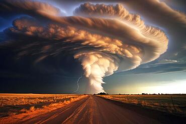
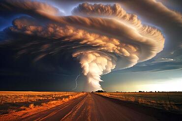
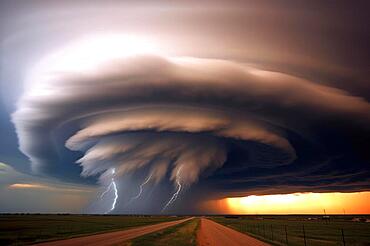
832-402297 - A huge tornado in the sky, road in front, natural disaster, severe weather, climate change, AI generated
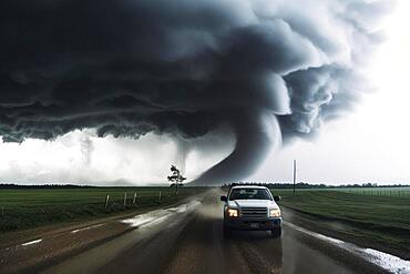
832-402298 - A tornado moves with great destructive force over agricultural land, car on road, natural disaster, weather phenomenon, severe weather, AI generated
832-402296 - A huge tornado in the sky, road in front, natural disaster, severe weather, climate change, AI generated
832-402294 - A huge tornado in the sky, road in front, natural disaster, severe weather, climate change, AI generated
832-402295 - A huge tornado in the sky, road in front, natural disaster, severe weather, climate change, AI generated
832-402293 - A huge tornado in the sky, road in front, natural disaster, severe weather, climate change, AI generated
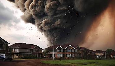
832-402292 - A tornado passes over housing estate with great destructive force, AI generated
832-402291 - A tornado moves towards a housing estate with great destructive force, tornado, severe weather, climate change, AI generated
832-402290 - A tornado moves towards a housing estate with great destructive force, tornado, severe weather, climate change, AI generated
832-402309 - Firefighting plane pours red-coloured extinguishing agent over forest fire, blazing flames, natural disaster, AI generated
860-291258 - Volcán de Fuego (Volcano of fire) eruption at night, Sierra Madre de Chiapas, Guatemala. Awarded image, Asferico 2022 competition
860-291256 - Volcán de Fuego (Volcano of fire) eruption at night, Sierra Madre de Chiapas, Guatemala.
860-291253 - Volcán de Fuego (Volcano of fire) eruption at night, Sierra Madre de Chiapas, Guatemala. 1st place, landscape category, Fotonoja 2022.
860-291254 - Volcán de Fuego (Volcano of fire) eruption at night, Sierra Madre de Chiapas, Guatemala.
860-291257 - Volcán de Fuego (Volcano of fire) eruption, Sierra Madre de Chiapas, Guatemala
860-291255 - Volcán de Fuego (Volcano of fire) eruption at night, Sierra Madre de Chiapas, Guatemala.
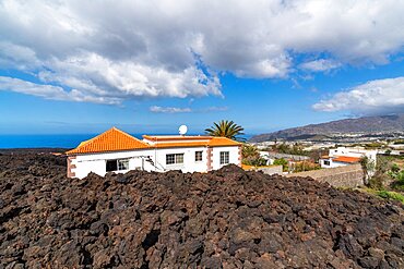
832-397342 - House in the lava flow, Tajogaite volcano from the 2021 eruption, El Pedregal, La Palma Island, Canary Islands, Spain, Europe
1178-43399 - Black couple hugging in military cemetery
1178-43398 - Multi-generation Black family hugging in military cemetery
1178-43400 - Black couple walking in military cemetery
1178-41424 - Caucasian widow placing American flag at cemetery gravestone
1178-41425 - Caucasian widow holding American flag in cemetery
1178-39410 - Black insurance adjuster examining flooding damage to house
1178-39411 - Black insurance adjuster examining flooding damage to house
1348-4480 - Hurricane Katrina, Louisiana, Us, On 28/08/2005, True Colour Satellite Image. Hurricane Katrina on 28 August 2005 near peak strength over the Gulf of Mexico. True-colour satellite image using MODIS data.
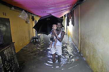
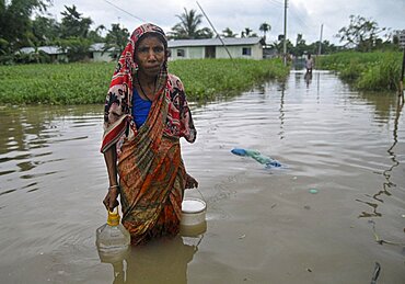
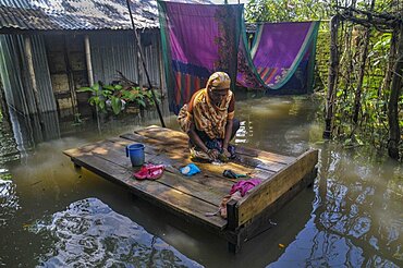
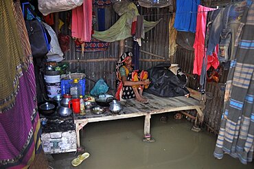
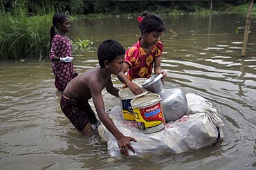
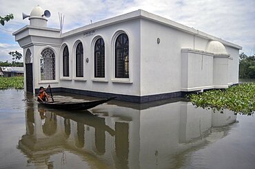
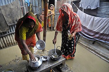
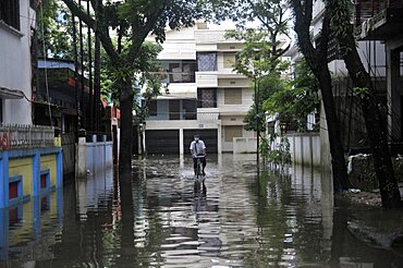
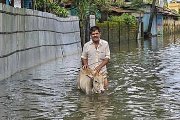
1348-2886 - Monsoon Rains Cause Flash Floods In Bangladesh.
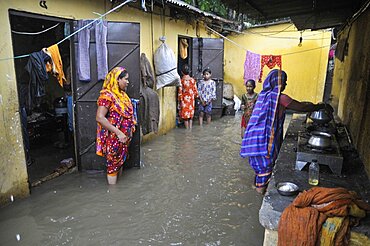
1348-2880 - Monsoon Flood in Corona Pandemic in Bangladesh.
1348-2883 - Monsoon Rains Cause Flash Floods In Bangladesh.
1348-4483 - Cyclone Gafilo, Indian Ocean, In 2004, True Colour Satellite Image. Tropical Cyclone Gafilo over the Indian Ocean, Northwest of Madagascar, on 6 March 2004. True-colour satellite image using MODIS data.
1348-4474 - Typhoon Nari, Taiwan, China, Asia, In 2001, True Colour Satellite Image. Typhoon Nari in September 2001 northeast of Taiwan and west of Shanghai, China. True-colour satellite image using MODIS data.
1348-4477 - Hurricane Bertha, Atlantic Ocean, In 2008, True Colour Satellite Image. Hurricane Bertha on 9 July 2008 over the Atlantic ocean. True-colour satellite image using MODIS data.
1348-2884 - Monsoon Rains Cause Flash Floods In Bangladesh.
1348-4482 - Hurricane Frances, Atlantic Ocean, On 31/08/2004, True Colour Satellite Image. Hurricane Frances on 31 August 2004 north of San Juan, Puerto Rico. True-colour satellite image using MODIS data.
1348-2882 - Monsoon Rains Cause Flash Floods In Bangladesh.
1348-4478 - Hurricane Wilma, Atlantic Ocean, On 24/10/2005, True Colour Satellite Image. Hurricane Wilma on 24 October 2005 over Florida, US. True-colour satellite image using MODIS data.
1348-4475 - Typhoon Mitag, Philippine Sea, Asia, In 2002, True Colour Satellite Image. Typhoon Mitag on 6 March 2002 in the Philippine Sea, north of the Philippines (lower left-hand corner of the image). True-colour satellite image using MODIS data.
1348-4481 - Hurricane Gordon, Atlantic Ocean, In 2006, True Colour Satellite Image. Hurricane Gordon on 14 September 2006 over the Atlantic ocean. True-colour satellite image using MODIS data.
1348-2887 - Monsoon Rains Cause Flash Floods In Bangladesh.
1348-2881 - Monsoon Flood in Corona Pandemic in Bangladesh.
1348-4476 - Typhoon Haiyan, Western Pacific, In 2001, True Colour Satellite Image
1348-2879 - Monsoon Flood in Corona Pandemic in Bangladesh.
1348-4479 - Hurricane Norbert, Pacific Ocean, In 2008, True Colour Satellite Image. Hurricane Norbert on 8 October 2008 over the Pacific ocean off Mexico. True-colour satellite image using MODIS data.
1348-2885 - Monsoon Rains Cause Flash Floods In Bangladesh.
1116-51981 - A marker displaying the receding of the Athabasca Glacier in Columbia Icefield; Alberta, Canada
1116-51335 - Amazing clouds over the landscape of the American mid-west as supercell thunderstorms develop. Huge tornado on the ground; Woodward, Nebraska, United States of America
1174-10685 - Empty hanging bench swing surrounded by hard frozen ice, riverbank
1178-36680 - Overweight businessman with fingers in ears in flooded city
1174-10414 - Destroyed and burned forest after extensive wildfire, charred twisted trees, Deschutes National Forest, Oregon, United States
1174-10413 - Aftermath of a forest fire, charred tree trunks and shadows, Deschutes National Forest, Oregon, United States
1349-1021 - Pre-eruption activity of Mount St. Helens
1349-389 - Tsunami Map, Kii Peninsula Earthquake, 1944
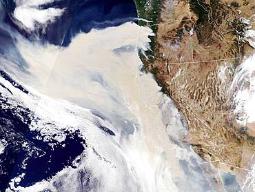
1349-347 - Wildfires' Smoke Meets Tropical Cyclones
1311-257 - Grassland that used to be the J D Dam Lake, dry due to a drought in Arizona, Kaibab National Forest, south of Williams, Arizona, United States of America, North America
832-385549 - Volcanic eruption, smoke cloud, Volcan de Fuego, active volcano, Guatemala, Central America


