Recent searches
Loading...
1184-12061 - Fishing boat floating in front of the bombed government palace in the the old town of Massawa, Eritrea
1382-250 - boat trip on the Chagres River,Republic of Panama,Central America
1382-229 - tug boat crossing the Panama Canal Gatun locks,Republic of Panama,Central America
1384-434 - Dittisham foot passenger ferry boat River Dart, Dartmouth, Devon, England, UK
1384-425 - Dartmouth Princess foot passenger ferry boat at Kingswear, Devon, England, UK
1384-315 - Mar de Ons ferry boat waterfront area quayside ferry terminal Peirao Muelle de Cíes, Vigo, Galicia, Spain
1384-293 - Passengers boarding ferry boat to the Cies Islands, Peirao Muelle de Cíes, Vigo, Galicia, Spain
1384-201 - Ultramar ferry boat arriving at Isla Mujeres, Caribbean Coast, Cancun, Quintana Roo, Mexico
1384-185 - Ultramar ferry boat arriving at Isla Mujeres, Caribbean Coast, Cancun, Quintana Roo, Mexico
1384-147 - Popular tourist attraction boating Xochimiloco, Mexico City, Mexico - boat selling blankets
1384-137 - Popular tourist attraction boating Xochimiloco, Mexico City, Mexico - boat selling Micheladas and Pulque
1384-135 - Popular tourist attraction boating Xochimiloco, Mexico City, Mexico - small boat shop selling corn cobs and flowers
1384-67 - lLunch point on beach for tourist boat trips, Paseos en Launch, Celestun, Yucatan, Mexico
801-4118 - Baboons and Tutankhamum's Boat to the Afterlife, West Wall, Burial Chamber, Tomb of Tutankhamun (King Tut), KV62, Valley of the Kings, Ancient Thebes, UNESCO World Heritage Site, Luxor, Egypt
1384-7 - Ultramar ferry boat arriving at Isla Mujeres, Caribbean Coast, Cancun, Quintana Roo, Mexico
801-4077 - Pharaoh's Boat, Avenue of Sphinxes, UNESCO World Heritage Site, Luxor, Egypt
801-4075 - Pharaoh's Boat, Avenue of Sphinxes, UNESCO World Heritage Site, Luxor, Egypt
801-4076 - Pharaoh's Boat, Avenue of Sphinxes, UNESCO World Heritage Site, Luxor, Egypt
722-175 - A fishing boat moored along the Hooghly River at dusk, Kolkata (Calcutta).
1382-8 - boat trip on the Canal surrounding the Old Town of Riga,Latvia,Baltic region,Northern Europe
844-34121 - View of glass bottom boat leaving Hout Bay Harbour, Hout Bay, Cape Town, Western Cape, South Africa, Africa
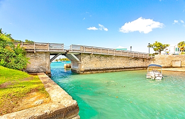
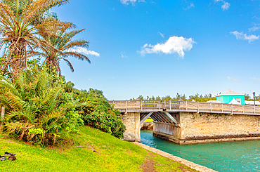
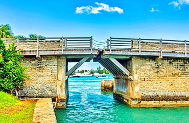
1358-370 - Somerset Bridge, Somerset Island, Bermuda. This is the shortest opening drawbridge in the world. The span is just 32 inches, enough to allow a sailing boat's mast to pass through.
1358-371 - Somerset Bridge, Somerset Island, Bermuda. This is the shortest opening drawbridge in the world. The span is just 32 inches, enough to allow a sailing boat's mast to pass through.
1358-369 - Somerset Bridge, Somerset Island, Bermuda. This is the shortest opening drawbridge in the world. The span is just 32 inches, enough to allow a sailing boat's mast to pass through.
1184-11621 - Cherry blossom and a little tourist boat in the Unesco world heritage sight Kyoto, Japan
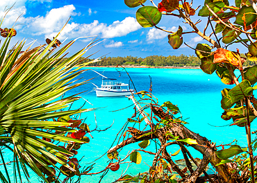
1358-368 - A boat moored off the Nonsuch Island, Bermuda, Nature Reserve or Living Museum. The boat belongs to the local Aquarium and Zoo and takes organised parties to see the Reserve.
1184-11511 - Dragon boat over the Songhua river, Harbin, Heilongjiang, China
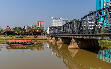
1188-1069 - Tourist boat sailing by the Victorian era Iron Bridge in Chiang Mai,Thailand
844-33448 - View onboard cruise boat on Knysna River with Featherbed Nature Reserve in background, Knysna, Garden Route, South Africa, Africa
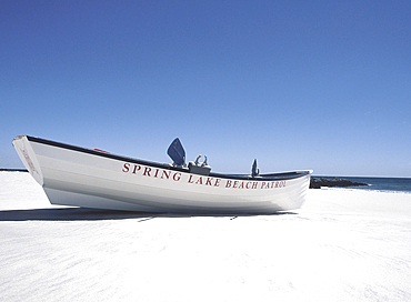
1178-44385 - USA, NJ, Lifeguard boat on beach at Spring Lake
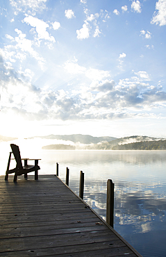
1178-44379 - Boat dock at sunrise, Lake Placid, New York, USA
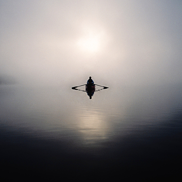
1178-44376 - Man rowing boat in morning mist, Lake Placid, NY, USA
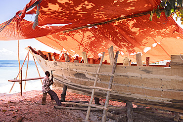
860-292482 - Craftsman building a dhow on a beach at Nungwi in the north of the island of Zanzibar, Tanzania
860-292473 - The crews of a sailing dhow and a motorized pirogue set off to fish at sunset on the waterfront in Stone Town, Zanzibar, Tanzania.
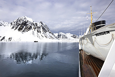
860-292392 - Landscape of Svalbard in Norway, also known as Spitsbergen. This territory stretches from latitude 75 to 80 degrees to the pack ice a few hundred kilometers from the North Pole. Melting ice, premature global warming. Exploration boat in Baie de la Madeleine.
860-292388 - Landscape of Svalbard in Norway, also known as Spitsbergen. This territory stretches from latitude 75 to 80 degrees to the pack ice a few hundred kilometers from the North Pole. Melting ice, premature global warming. Exploration boat in Madeleine Bay. Young explorer on deck.
860-292389 - Landscape of Svalbard in Norway, also known as Spitsbergen. This territory stretches from latitude 75 to 80 degrees to the pack ice a few hundred kilometers from the North Pole. Melting ice, premature global warming. Exploration boat in Magdalen Bay. Explorer sailboat.
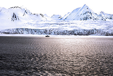
860-292387 - Landscape of Svalbard in Norway, also known as Spitsbergen. This territory stretches from latitude 75 to 80 degrees to the pack ice a few hundred kilometers from the North Pole. Melting ice, early global warming. Front of a glacier fracturing at the edge of a fjord. Explorers' sailboat at the ice edge
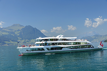
1160-5359 - Excursion boat on Lake Lucerne, Brunnen, Canton Schwyz, Switzerland, Europe
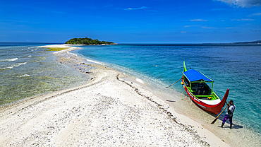
1184-10975 - Aerial of little boat anchoring on Little Santa Cruz Island, Zamboanga, Mindanao, Philippines, Southeast Asia, Asia
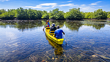
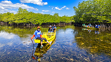
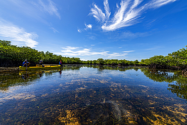
1184-10962 - People in a little boat in the swamps of Grande Santa Cruz Island, Zamboanga, Mindanao, Philippines, Southeast Asia, Asia
1184-10961 - People in a little boat in the swamps of Grande Santa Cruz Island, Zamboanga, Mindanao, Philippines, Southeast Asia, Asia
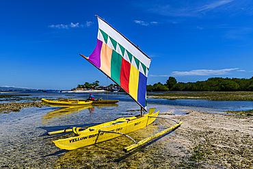
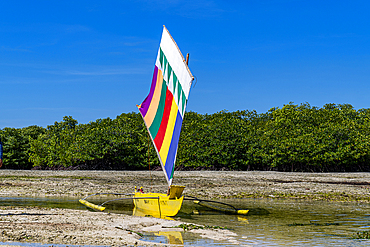
1184-10949 - Traditional sailing boat, Grande Santa Cruz Island, Zamboanga, Mindanao, Philippines, Southeast Asia, Asia
1184-10948 - Traditional sailing boat, Grande Santa Cruz Island, Zamboanga, Mindanao, Philippines, Southeast Asia, Asia
1184-10941 - People in a little boat in the swamps of Grande Santa Cruz Island, Zamboanga, Mindanao, Philippines, Southeast Asia, Asia
1184-10938 - People in a liitle boat in the swamps of Grande Santa Cruz Island, Zamboanga, Mindanao, Philippines, Southeast Asia, Asia
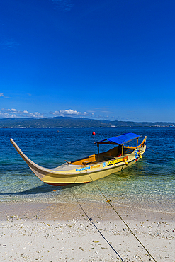
1184-10935 - Tourist boat, Grande Santa Cruz Island, Zamboanga, Mindanao, Philippines, Southeast Asia, Asia
1184-10928 - Tourist boat in Grande Santa Cruz Island, Zamboanga, Mindanao, Philippines, Southeast Asia, Asia
1184-10809 - Little boat on a channel in Zhouzhuang water town, Jiangsu, China, Asia
1184-10807 - Little boat on a channel in Zhouzhuang water town, Jiangsu, China, Asia
1184-10803 - Little boat on a channel in Zhouzhuang water town, Jiangsu, China, Asia
1184-10799 - Red wedding boat, Zhouzhuang water town, Jiangsu, China, Asia
1184-10788 - Little boat on a channel in Zhouzhuang water town, Jiangsu, China, Asia
1184-10787 - Little boat on a channel in Zhouzhuang water town, Jiangsu, China, Asia
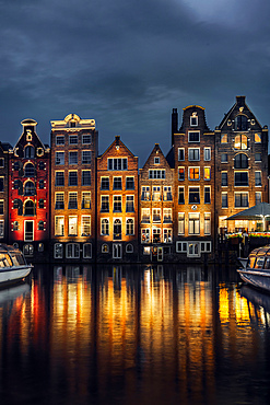
1377-2 - Night dancing houses at Amsterdam Canal Damrak, Amsterdam, Holland, Netherlands, Europe
1184-10454 - Replica of an old russian sailing boat before a palace, Volga Manor, Harbin, Heilongjiang, China
1184-10453 - Replica of an old russian sailing boat, Volga Manor, Harbin, Heilongjiang, China
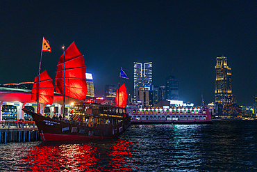
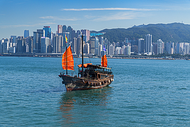
1184-10293 - Traditional sailing boat before the high rise buildings in Central Hongkong at night, China
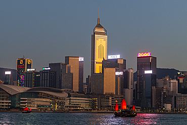
1184-10291 - Traditional sailing boat before the high rise buildings in Central Hongkong, China
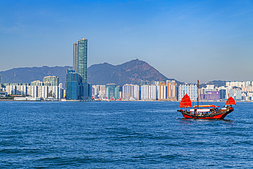
1184-10279 - Traditional sailing boat before the high rise buildings in Central Hongkong, China
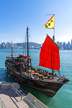
1184-10259 - Traditional sailing boat before the high rise buildings in Central Hongkong, China
1184-10257 - Traditional sailing boat before the high rise buildings in Central Hongkong, China
844-32982 - View of small boat in harbour, Playa del Carmen, Caribbean Coast, Yucatán Peninsula, Riviera Maya, Mexico, North America
1369-181 - A boat in front of Cuckmere Haven beach at sunset, Sussex, England, Great Britain, United Kingdom
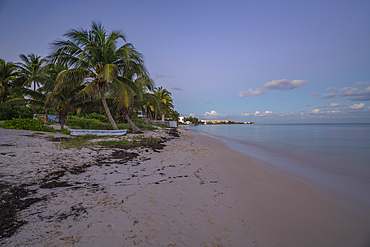
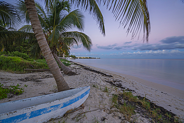
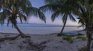
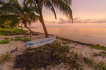
844-32795 - View of rustic canoe boat on beach at sunset near Puerto Morelos, Caribbean Coast, Yucatán Peninsula, Mexico, North America
844-32794 - View of rustic canoe boat on beach at sunset near Puerto Morelos, Caribbean Coast, Yucatán Peninsula, Mexico, North America
844-32793 - View of rustic canoe boat on beach at sunset near Puerto Morelos, Caribbean Coast, Yucatán Peninsula, Mexico, North America
844-32792 - View of rustic canoe boat on beach at sunset near Puerto Morelos, Caribbean Coast, Yucatán Peninsula, Mexico, North America
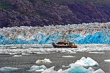
832-404461 - Excursion boat in front of Columbia Glacier, Chugach Mountains in the background, Prince William Sound, Valdez, South Alaska, Alaska, USA, North America
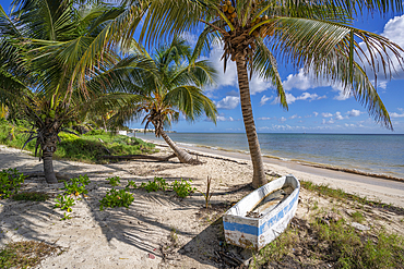
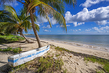
844-32722 - View of rustic canoe boat on beach near Puerto Morelos, Caribbean Coast, Yucatan Peninsula, Mexico, North America
844-32721 - View of rustic canoe boat on beach near Puerto Morelos, Caribbean Coast, Yucatan Peninsula, Mexico, North America
1358-322 - Yellow Crowned Night Heron at sunset, Flatt's Inlet, Bermuda, North Atlantic, North America
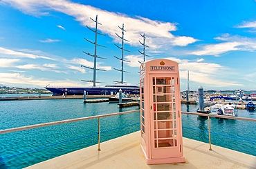
1358-321 - An old British telephone kiosk, with a three masted sailing ship moored behind, Hamilton, Bermuda, North Atlantic, North America
1243-487 - View of Downtown Rio with a leisure boat in the foreground, Rio de Janeiro, Brazil, South America
1243-485 - Gloria Marina and downtown, Rio de Janeiro, Brazil, South America
1358-318 - Ferry of the Bermuda Ferry Service crossing Hamilton Harbour in Bermuda, North Atlantic, North America
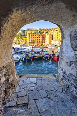
1369-177 - The beautiful harbour of Camogli seen through a house arch, Camogli, Genova province, Liguria, Italy, Europe
1369-171 - A long exposure to capture the sunrise at Lerici Castle, La Spezia province, Liguria, Italy, Europe
1131-2013 - View over Cochem and the Moselle River, Cochem, Rhineland Palatinate, Germany, Europe
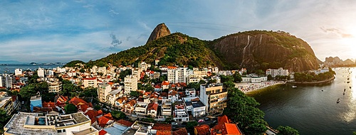
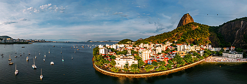
1243-484 - Aerial drone panorama of Urca neighbourhood and surrounding Botafogo and Guanabara Bay, UNESCO World Heritage Site, between the Mountain and the Sea, inscribed on the World Heritage List in 2012, Rio de Janeiro, Brazil, South America
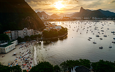
1243-483 - Aerial drone panorama of Urca neighbourhood and surrounding Botafogo and Guanabara Bay, UNESCO World Heritage Site, between the Mountain and the Sea, inscribed on the World Heritage List in 2012, Rio de Janeiro, Brazil, South America
1243-482 - Aerial drone panorama of Urca neighbourhood and surrounding Botafogo and Guanabara Bay, UNESCO World Heritage Site, between the Mountain and the Sea, inscribed on the World Heritage List in 2012, Rio de Janeiro, Brazil, South America
1243-481 - View of Praia da Urca with surrounding Botafogo Bay, UNESCO World Heritage Site, between the Mountain and the Sea, inscribed on the World Heritage List in 2012, Rio de Janeiro, Brazil, South America
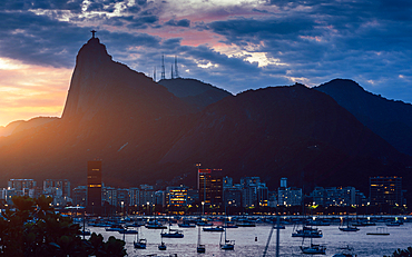
1243-480 - View of Botafogo Bay at sunset with Christ the Redeemer statue in the background, UNESCO World Heritage Site, between the Mountain and the Sea, inscribed on the World Heritage List in 2012, Rio de Janeiro, Brazil, South America
1360-567 - Concarneau, Finistere, Brittany, France, Europe
1360-549 - Boats, Ile-de-Brehat, Cotes-d'Armor, Brittany, France, Europe
1360-546 - Boats, Ile-de-Brehat, Cotes-d'Armor, Brittany, France, Europe
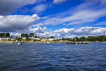
1360-542 - Larmor-Baden, Morbihan, Brittany, France, Europe
1360-541 - Larmor-Baden, Morbihan, Brittany, France, Europe
1360-523 - Sunset, Cancale, Ille-et-Vilaine, Brittany, France, Europe
1360-522 - Oyster farm, Cancale, Ille-et-Vilaine, Brittany, France, Europe
1360-518 - Pointe du Grouin, Cancale, Ille-et-Vilaine, Brittany, France, Europe
1245-3600 - Chora Waterfront, Naxos City, Naxos Island, Cyclades, Greek Islands, Greece, Europe
1245-3599 - Chora Waterfront, Naxos City, Naxos Island, Cyclades, Greek Islands, Greece, Europe
1245-3596 - Waterfront of Chora, Naxos City, Naxos Island, Cyclades, Greek Islands, Greece, Europe
1245-3595 - Waterfront of Chora, Naxos City, Naxos Island, Cyclades, Greek Islands, Greece, Europe
1245-3593 - View towards Chora, Naxos City, Naxos Island, Cyclades, Greek Islands, Greece, Europe
1245-3582 - Old Mill near Akrotiri Village, Santorini (Thira) Island, Cyclades, Greek Islands, Greece, Europe
1245-3561 - Taverna at Ammoudi Bay, Oia Village, Santorini (Thira) Island, Cyclades, Greek Islands, Greece, Europe
1245-3560 - Ammoudi Bay and Oia Village, Santorini (Thira) Island, Cyclades, Greek Islands, Greece, Europe


