Recent searches
Loading...
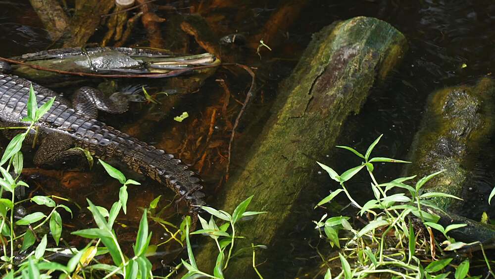
844-32783 - View of small crocodile in foliage near Puerto Morelos, Caribbean Coast, Yucatan Peninsula, Mexico, North America
844-32781 - View of baby crocodile on branch near Puerto Morelos, Caribbean Coast, Yucatan Peninsula, Mexico, North America
844-32755 - View of baby crocodile on branch near Puerto Morelos, Caribbean Coast, Yucatan Peninsula, Mexico, North America
844-32754 - View of small crocodile in foliage near Puerto Morelos, Caribbean Coast, Yucatan Peninsula, Mexico, North America
844-32753 - View of small crocodile in foliage near Puerto Morelos, Caribbean Coast, Yucatan Peninsula, Mexico, North America
844-32752 - View of small crocodile in water near Puerto Morelos, Caribbean Coast, Yucatan Peninsula, Mexico, North America
844-32751 - View of small crocodile in water near Puerto Morelos, Caribbean Coast, Yucatan Peninsula, Mexico, North America
844-32750 - View of small crocodile in water near Puerto Morelos, Caribbean Coast, Yucatan Peninsula, Mexico, North America
844-32749 - View of small crocodile in water near Puerto Morelos, Caribbean Coast, Yucatan Peninsula, Mexico, North America
844-32748 - View of small crocodile in water near Puerto Morelos, Caribbean Coast, Yucatan Peninsula, Mexico, North America
844-32747 - View of small crocodile in water near Puerto Morelos, Caribbean Coast, Yucatan Peninsula, Mexico, North America
844-32514 - View of Bois Cheri Tea plantation, Savanna District, Mauritius, Indian Ocean, Africa
844-32513 - View of Bois Cheri Tea plantation, Savanna District, Mauritius, Indian Ocean, Africa
844-32512 - View of Bois Cheri Tea plantation, Savanna District, Mauritius, Indian Ocean, Africa
844-32511 - View of Bois Cheri Tea plantation, Savanna District, Mauritius, Indian Ocean, Africa
844-32217 - View of flora in Sir Seewoosagur Ramgoolam Botanical Garden, Pamplemousses District, Mauritius, Indian Ocean, Africa
844-32213 - View of flora in Sir Seewoosagur Ramgoolam Botanical Garden, Pamplemousses District, Mauritius, Indian Ocean, Africa
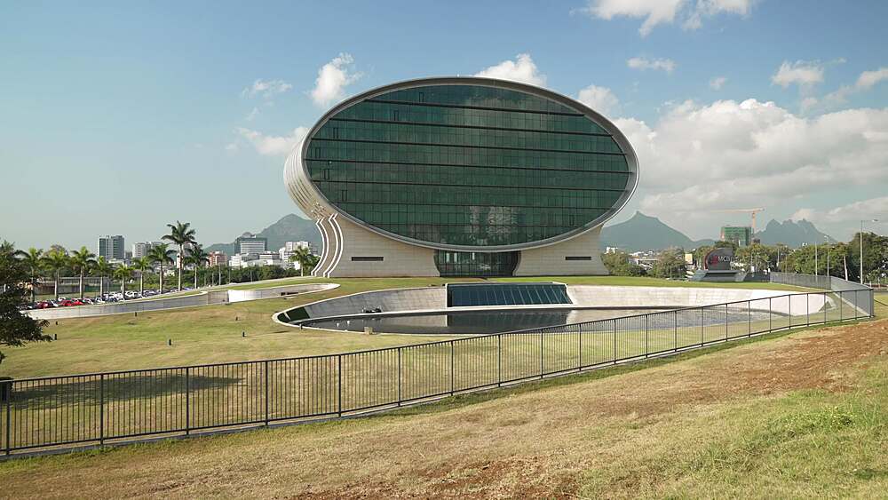
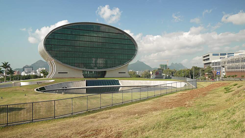
844-32224 - View of MCB St-Jean corporate office, St. Jean Roundabout, Quatre Bornes, Mauritius, Indian Ocean, Africa
844-32204 - View of MCB St-Jean corporate office, St. Jean Roundabout, Quatre Bornes, Mauritius, Indian Ocean, Africa
844-32193 - View of flora in Sir Seewoosagur Ramgoolam Botanical Garden, Pamplemousses District, Mauritius, Indian Ocean, Africa
844-32192 - View of Giant Lilies Pond in Sir Seewoosagur Ramgoolam Botanical Garden, Pamplemousses District, Mauritius, Indian Ocean, Africa
844-32191 - View of Giant Lilies Pond in Sir Seewoosagur Ramgoolam Botanical Garden, Pamplemousses District, Mauritius, Indian Ocean, Africa
844-32190 - View of Giant Lilies Pond in Sir Seewoosagur Ramgoolam Botanical Garden, Pamplemousses District, Mauritius, Indian Ocean, Africa
844-32189 - View of Giant Lilies Pond in Sir Seewoosagur Ramgoolam Botanical Garden, Pamplemousses District, Mauritius, Indian Ocean, Africa
844-32184 - View of flora in Sir Seewoosagur Ramgoolam Botanical Garden, Pamplemousses District, Mauritius, Indian Ocean, Africa
844-32183 - View of flora in Sir Seewoosagur Ramgoolam Botanical Garden, Pamplemousses District, Mauritius, Indian Ocean, Africa
1184-9910 - Hamersley Gorge, Karijini National Park, Western Australia, Australia, Pacific
848-2762 - View from Cat Bells, Lake District National Park, UNESCO World Heritage Site, Cumbria, England, United Kingdom, Europe
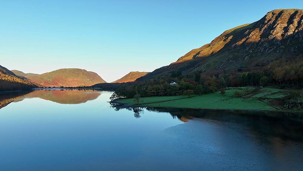
848-2761 - Buttermere at dawn, Lake District National Park, UNESCO World Heritage Site, Cumbria, England, United Kingdom, Europe
848-2760 - Buttermere at dawn, Lake District National Park, UNESCO World Heritage Site, Cumbria, England, United Kingdom, Europe
848-2759 - Buttermere at dawn, Lake District National Park, UNESCO World Heritage Site, Cumbria, England, United Kingdom, Europe
848-2758 - Buttermere at dawn, Lake District National Park, UNESCO World Heritage Site, Cumbria, England, United Kingdom, Europe
848-2757 - Buttermere at dawn, Lake District National Park, UNESCO World Heritage Site, Cumbria, England, United Kingdom, Europe
848-2756 - View from Cat Bells, Lake District National Park, UNESCO World Heritage Site, Cumbria, England, United Kingdom, Europe
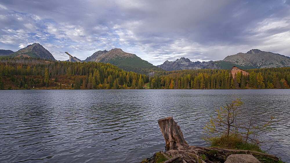
1336-1005 - Timelapse at sunset over Strbske Pleso lake and Tatra Mountains, Slovakia, Europe
844-31702 - View of chateau and Lago di Montedoglio near Viamaggio, Province of Arezzo, Tuscany, Italy, Europe
844-31701 - View of chateau and Lago di Montedoglio near Viamaggio, Province of Arezzo, Tuscany, Italy, Europe
844-31700 - View of cattle and Lago di Montedoglio near Viamaggio, Province of Arezzo, Tuscany, Italy, Europe
844-31699 - View of cattle and Lago di Montedoglio near Viamaggio, Province of Arezzo, Tuscany, Italy, Europe
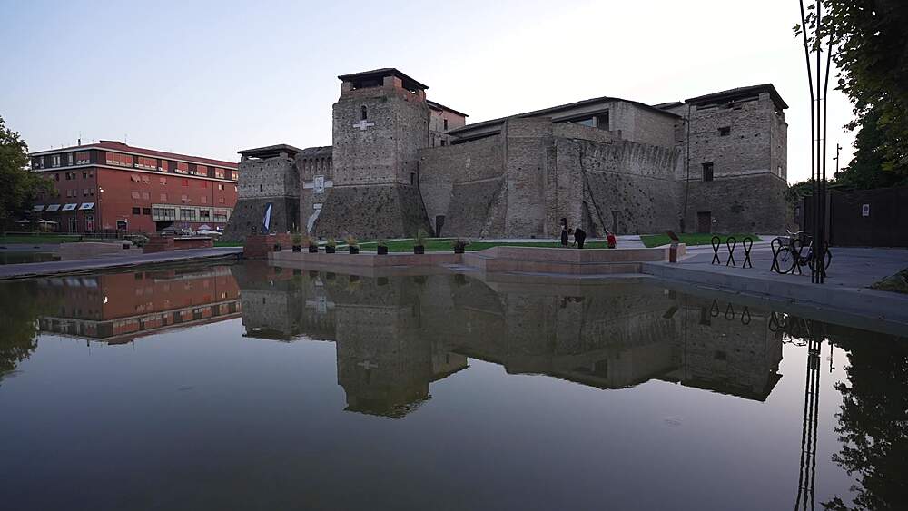
844-31691 - View of Castel Sismondo reflected in water in Piazza Malatesta, Rimini, Emilia Romagna, Italy, Europe
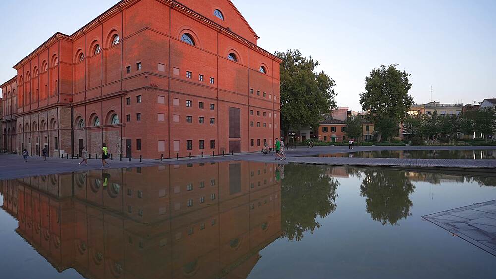
844-31690 - View of Amintore Galli Theatre reflected in water in Piazza Malatesta, Rimini, Emilia Romagna, Italy, Europe
844-31689 - View of Amintore Galli Theatre and Castel Sismondo in Piazza Malatesta, Rimini, Emilia Romagna, Italy, Europe
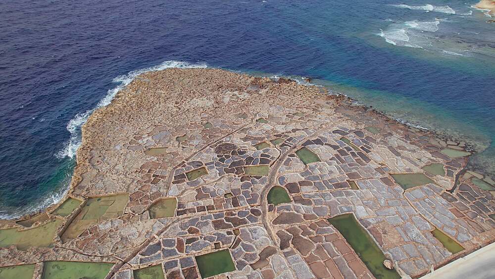
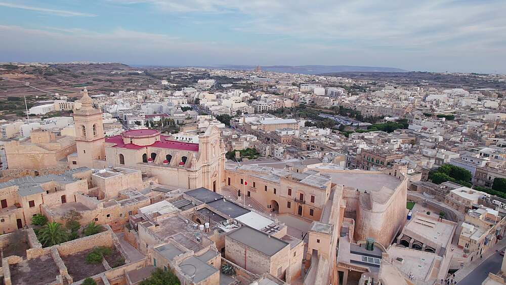
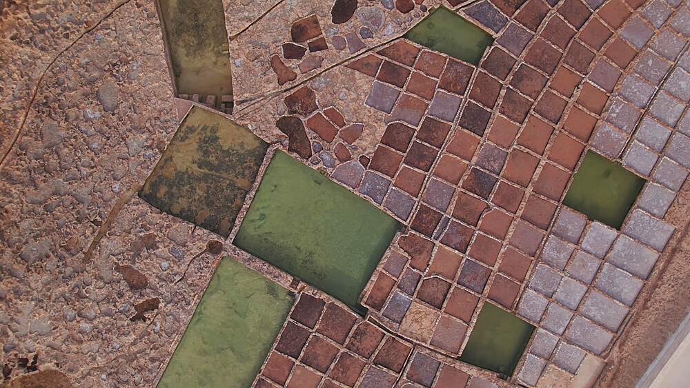
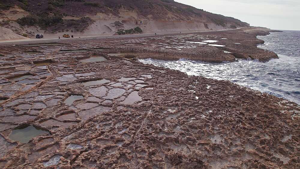
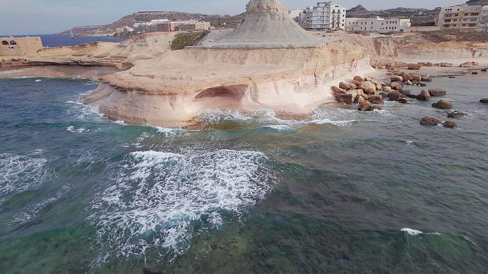
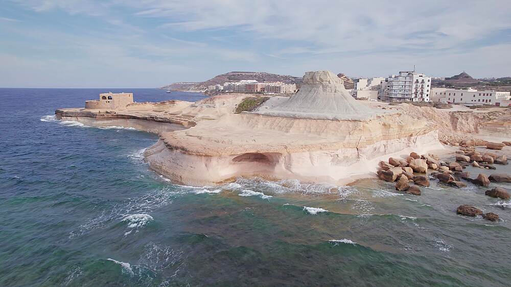
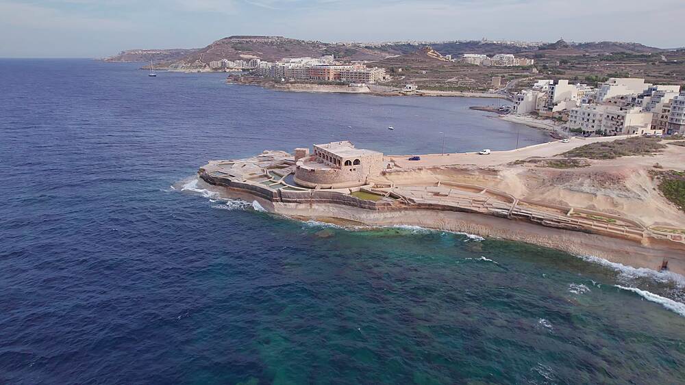
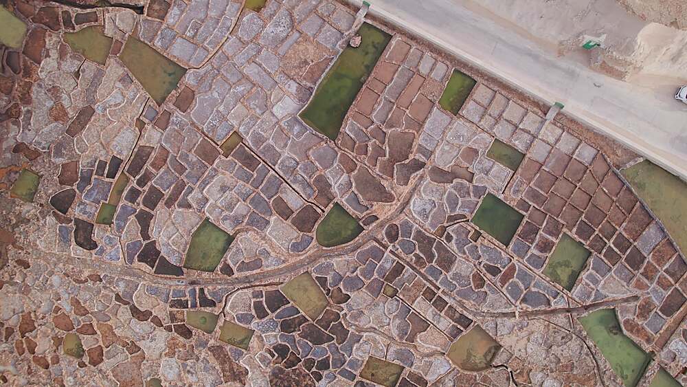
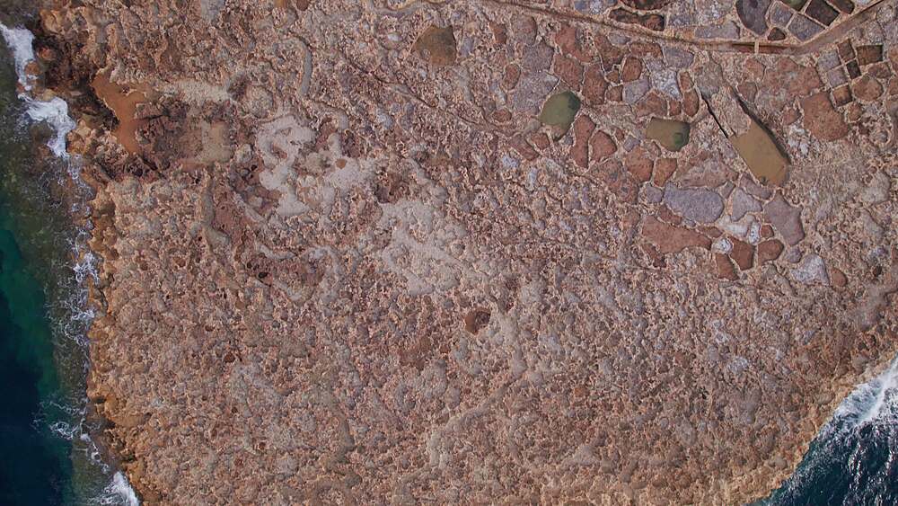
1276-3623 - Aerial panoramic drone footage Salt evaporation ponds, also called salterns or salt pans located near Qbajjar on the maltese Island of Gozo, Malta, Mediterranean, Europe
1276-3622 - Aerial panoramic drone footage Salt evaporation ponds, also called salterns or salt pans located near Qbajjar on the maltese Island of Gozo, Malta, Mediterranean, Europe
1276-3583 - Aerial panoramic drone footage Salt evaporation ponds, also called salterns or salt pans located near Qbajjar on the maltese Island of Gozo, Malta, Mediterranean, Europe
1276-3582 - Aerial panoramic drone footage Salt evaporation ponds, also called salterns or salt pans located near Qbajjar on the maltese Island of Gozo, Malta, Mediterranean, Europe
1276-3581 - Aerial panoramic drone footage Salt evaporation ponds, also called salterns or salt pans located near Qbajjar on the maltese Island of Gozo, Malta, Mediterranean, Europe
1276-3580 - Aerial panoramic drone footage Salt evaporation ponds, also called salterns or salt pans located near Qbajjar on the maltese Island of Gozo, Malta, Mediterranean, Europe
1276-3579 - Aerial panoramic drone footage Salt evaporation ponds, also called salterns or salt pans located near Qbajjar on the maltese Island of Gozo, Malta, Mediterranean, Europe
1276-3578 - Aerial panoramic drone footage Salt evaporation ponds, also called salterns or salt pans located near Qbajjar on the maltese Island of Gozo, Malta, Mediterranean, Europe
1276-3577 - Aerial panoramic drone footage Salt evaporation ponds, also called salterns or salt pans located near Qbajjar on the maltese Island of Gozo, Malta, Mediterranean, Europe
1276-3576 - Aerial panoramic drone footage Salt evaporation ponds, also called salterns or salt pans located near Qbajjar on the maltese Island of Gozo, Malta, Mediterranean, Europe
1276-3575 - Aerial panoramic drone footage Salt evaporation ponds, also called salterns or salt pans located near Qbajjar on the maltese Island of Gozo, Malta, Mediterranean, Europe
1276-3574 - Aerial panoramic drone footage Salt evaporation ponds, also called salterns or salt pans located near Qbajjar on the maltese Island of Gozo, Malta, Mediterranean, Europe
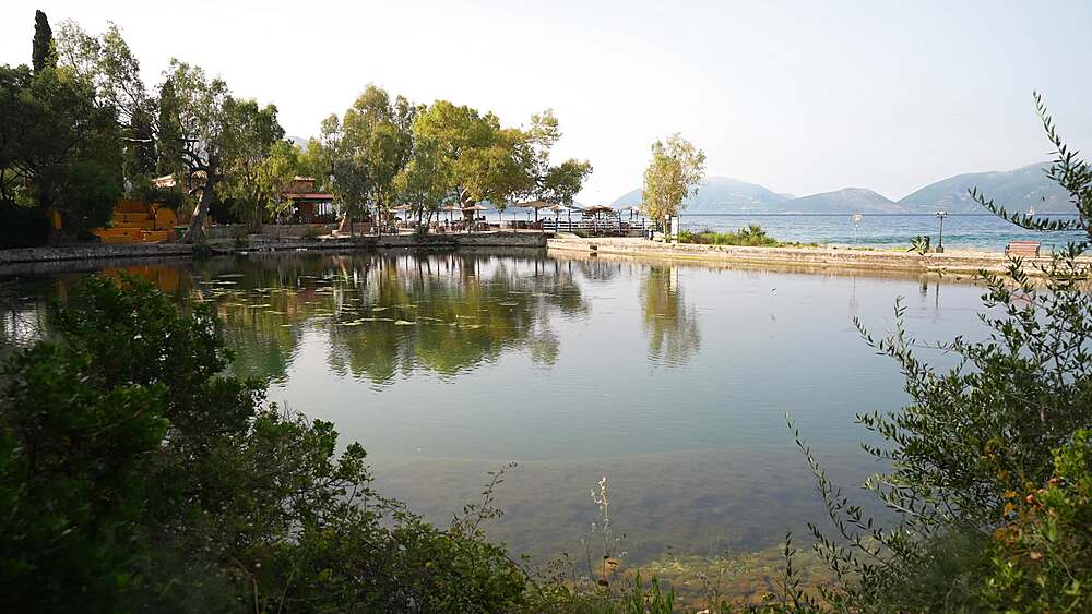
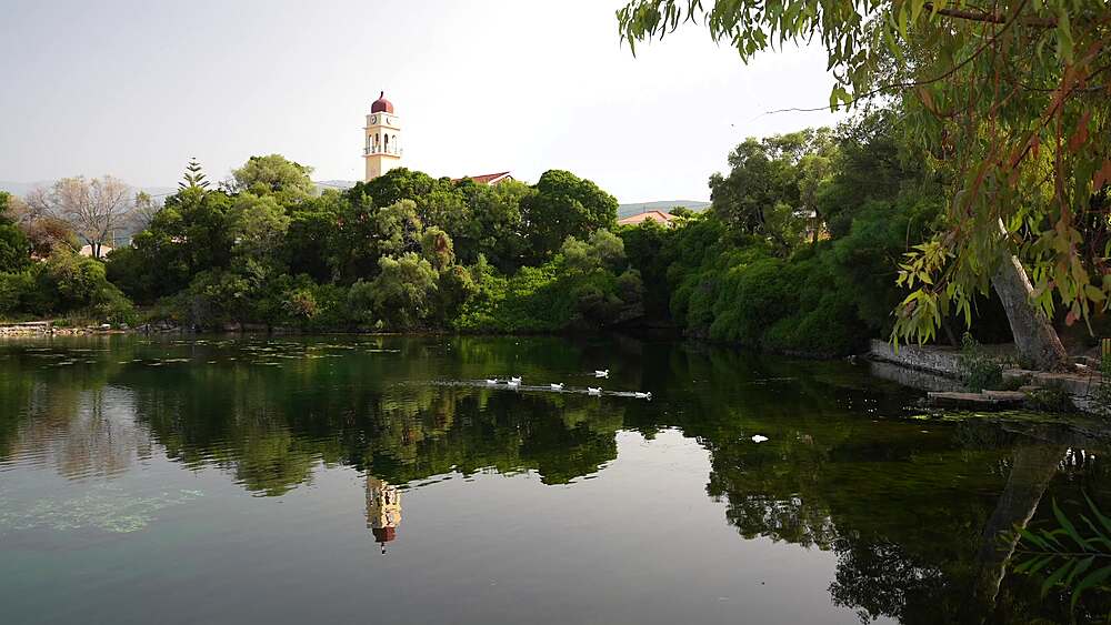
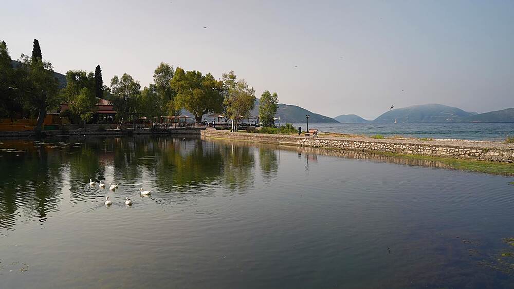
844-30736 - View of Karavomilos Lake and coastline at Sami, Kefalonia (Cephalonia), Ionian Islands, Greek Islands, Greece, Europe
844-30735 - View of Karavomilos Lake and coastline at Sami, Kefalonia (Cephalonia), Ionian Islands, Greek Islands, Greece, Europe
844-30734 - View of Karavomilos Lake and coastline at Sami, Kefalonia (Cephalonia), Ionian Islands, Greek Islands, Greece, Europe
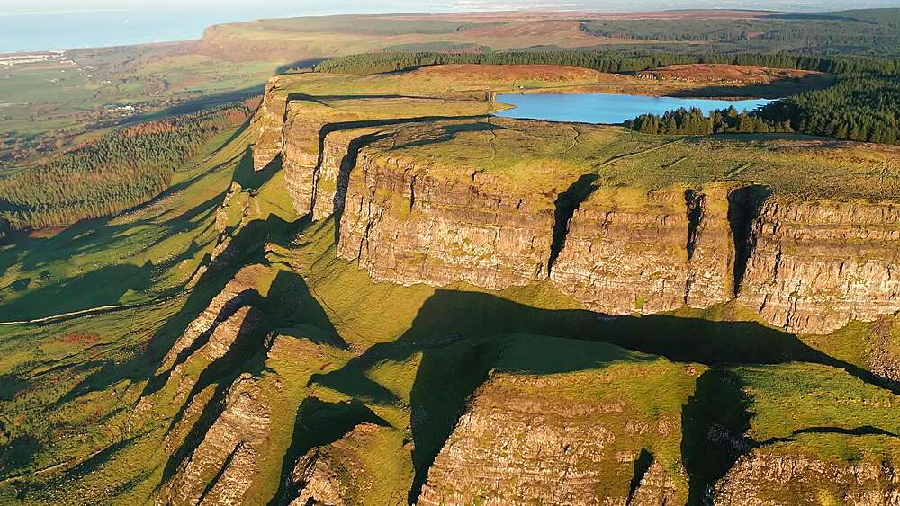
799-4630 - Aerial of Binevenagh Mountain in County Antrim, Ulster, Northern Ireland, United Kingdom, Europe
799-4629 - Aerial of Binevenagh Mountain in County Antrim, Ulster, Northern Ireland, United Kingdom, Europe
799-4625 - Aerial of Binevenagh Mountain in County Antrim, Ulster, Northern Ireland, United Kingdom, Europe
799-4598 - Aerial of Blea Tarn and the Langdale Pikes at dawn in the Lake District National Park, UNESCO World Heritage Site, Cumbria, England, United Kingdom, Europe
799-4597 - Aerial of Blea Tarn and the Langdale Pikes at dawn in the Lake District National Park, UNESCO World Heritage Site, Cumbria, England, United Kingdom, Europe
799-4596 - Aerial of Blea Tarn and the Langdale Pikes at dawn in the Lake District National Park, UNESCO World Heritage Site, Cumbria, England, United Kingdom, Europe
799-4595 - Aerial of Blea Tarn and the Langdale Pikes at dawn in the Lake District National Park, UNESCO World Heritage Site, Cumbria, England, United Kingdom, Europe
799-4594 - Aerial of Blea Tarn and the Langdale Pikes at dawn in the Lake District National Park, UNESCO World Heritage Site, Cumbria, England, United Kingdom, Europe
799-4593 - Aerial of Blea Tarn and the Langdale Pikes at dawn in the Lake District National Park, UNESCO World Heritage Site, Cumbria, England, United Kingdom, Europe
799-4592 - Aerial of Blea Tarn and the Langdale Pikes at dawn in the Lake District National Park, UNESCO World Heritage Site, Cumbria, England, United Kingdom, Europe
799-4590 - Aerial of Lake Windermere and surrounding countryside on a misty morning in the Lake District National Park, UNESCO World Heritage Site, Cumbria, England, United Kingdom, Europe
799-4589 - Aerial of Lake Windermere and surrounding countryside on a misty morning in the Lake District National Park, UNESCO World Heritage Site, Cumbria, England, United Kingdom, Europe
799-4588 - Aerial of Lake Windermere and surrounding countryside on a misty morning, Lake District National Park, UNESCO World Heritage Site, Cumbria, England, United Kingdom, Europe
945-893 - Grey crowned crane, Masai Mara, Kenya, East Africa, Africa
945-892 - Grey crowned crane, Masai Mara, Kenya, East Africa, Africa
945-891 - Vultures feeding, Masai Mara, Kenya, East Africa, Africa
945-887 - Vultures feeding, Masai Mara, Kenya, East Africa, Africa
844-29279 - Canang sari, offering to the Gods at Ulun Danu Beratan Temple and lake Danu Beratan Bedugul at sunrise, Bali, Indonesia, South East Asia, Asia
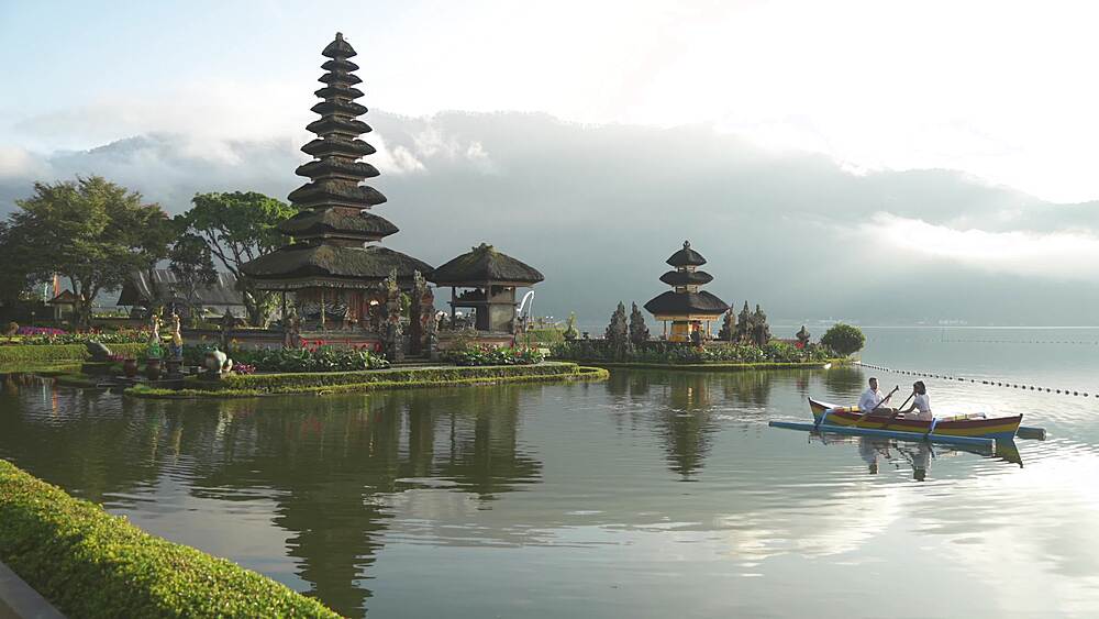
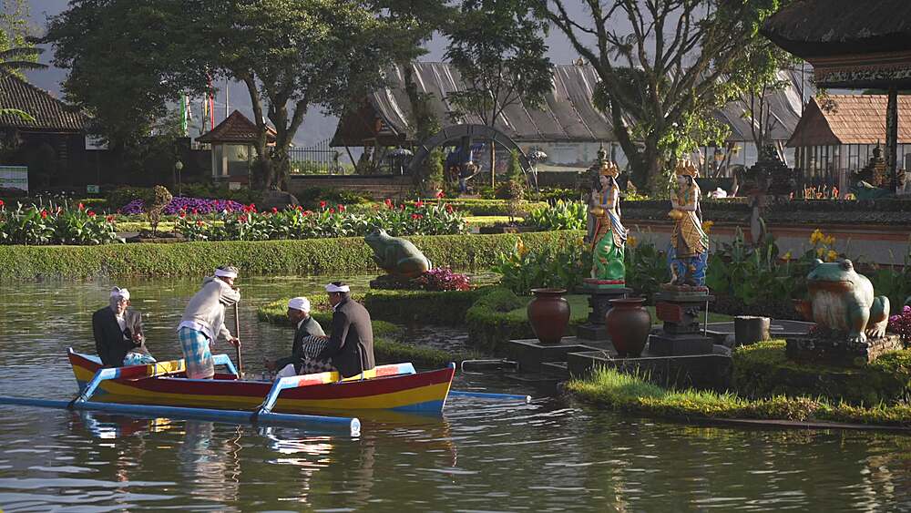
844-29276 - Couple on boat and Ulun Danu Beratan Temple and lake Danu Beratan Bedugul at sunrise, Bali, Indonesia, South East Asia, Asia
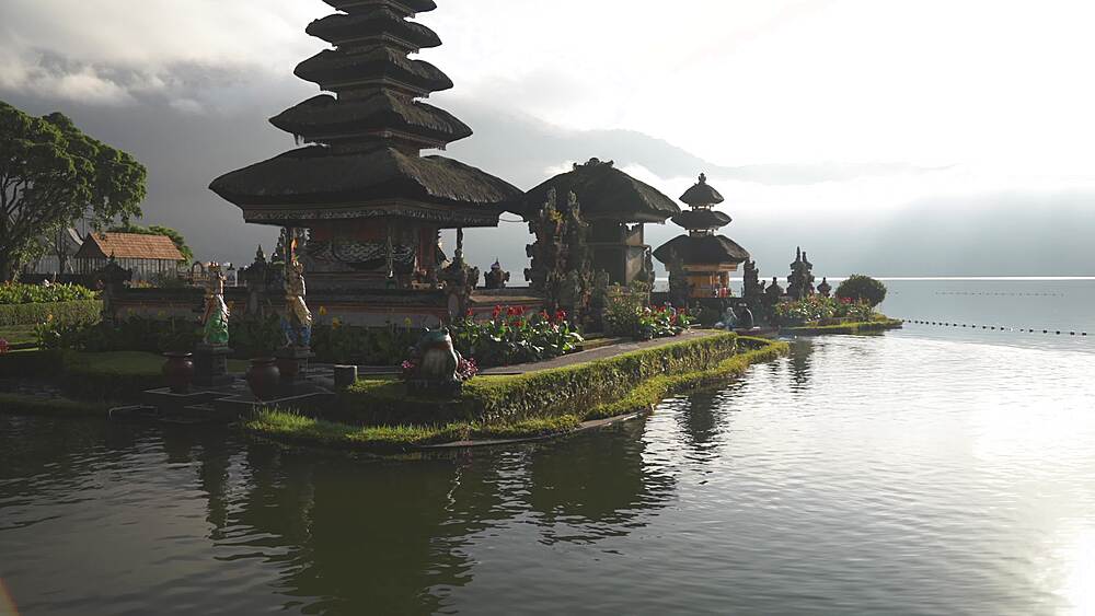
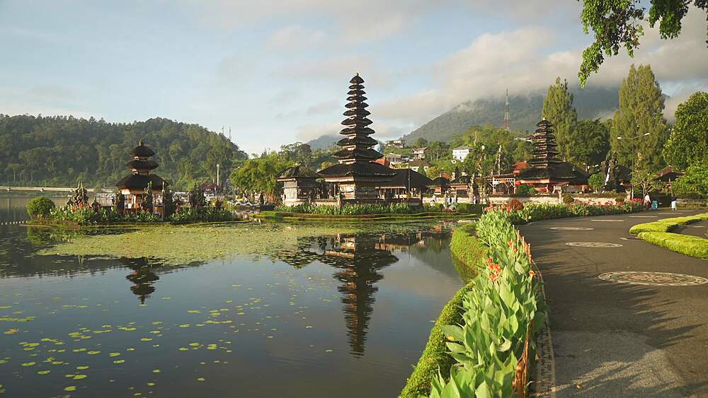
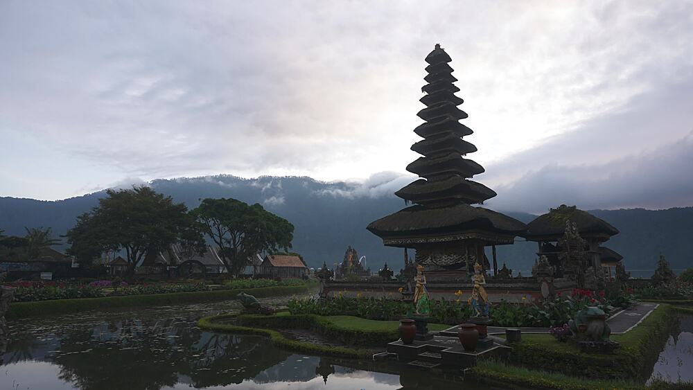
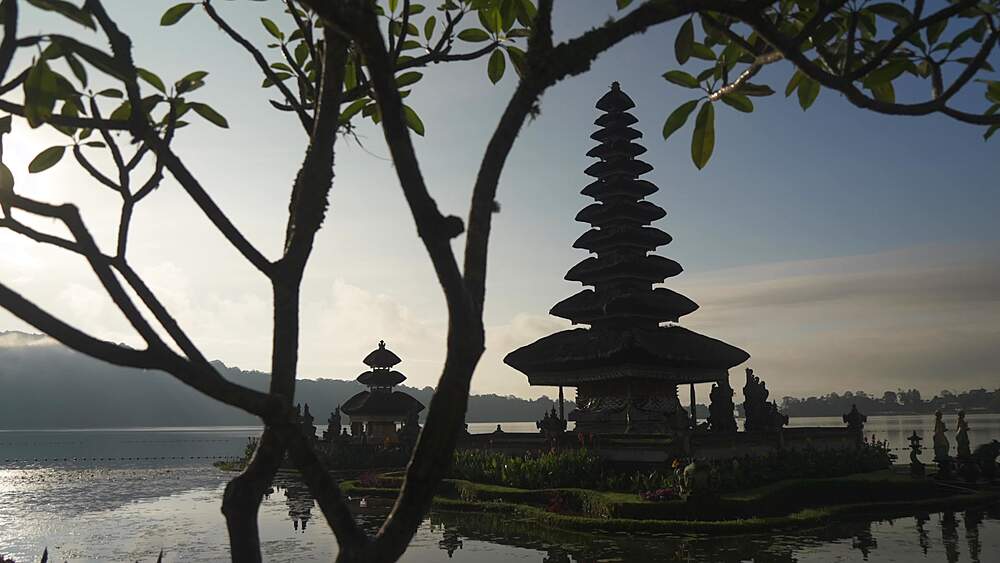
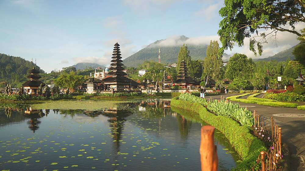
844-29273 - Ulun Danu Beratan Temple and lake Danu Beratan Bedugul at sunrise, Bali, Indonesia, South East Asia, Asia
844-29270 - Ulun Danu Beratan Temple and lake Danu Beratan Bedugul at sunrise, Bali, Indonesia, South East Asia, Asia
844-29267 - Canang sari, offering to the Gods at Ulun Danu Beratan Temple and lake Danu Beratan Bedugul at sunrise, Bali, Indonesia, South East Asia, Asia
844-29264 - Ulun Danu Beratan Temple and lake Danu Beratan Bedugul at sunrise, Bali, Indonesia, South East Asia, Asia
844-29261 - Ulun Danu Beratan Temple and lake Danu Beratan Bedugul at sunrise, Bali, Indonesia, South East Asia, Asia
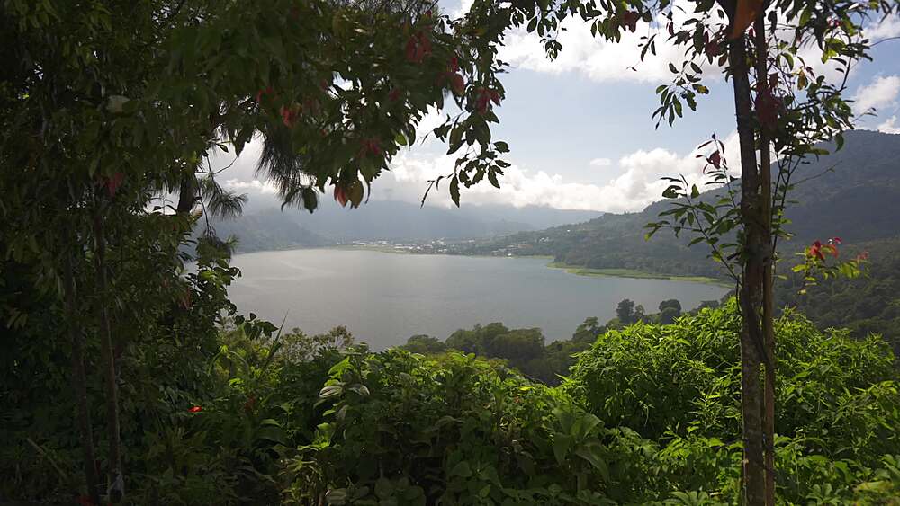
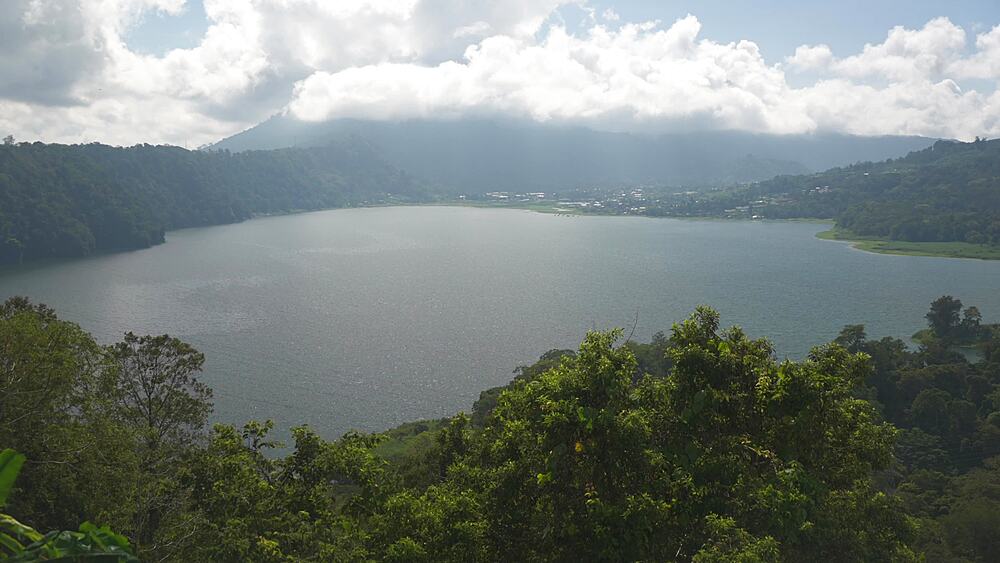
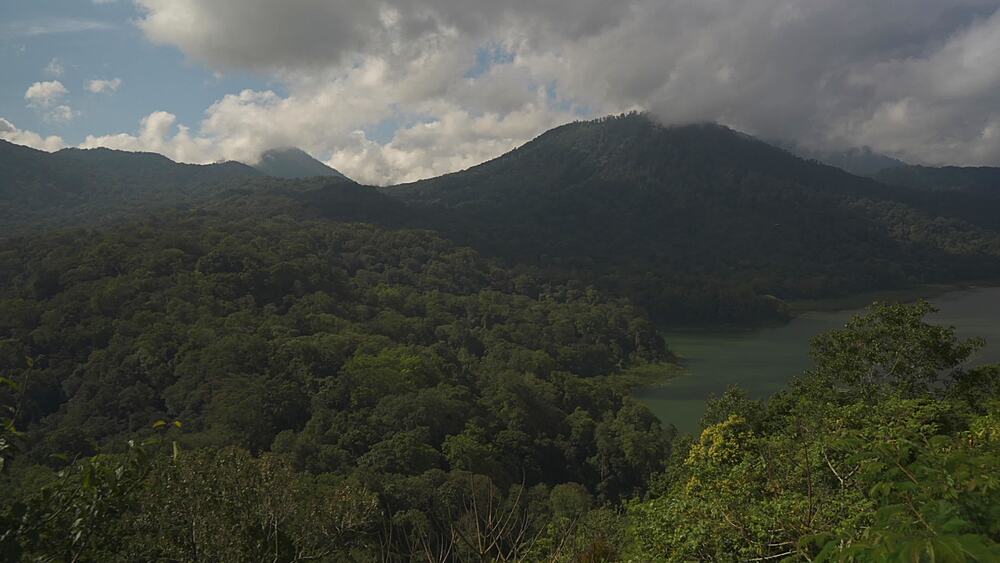
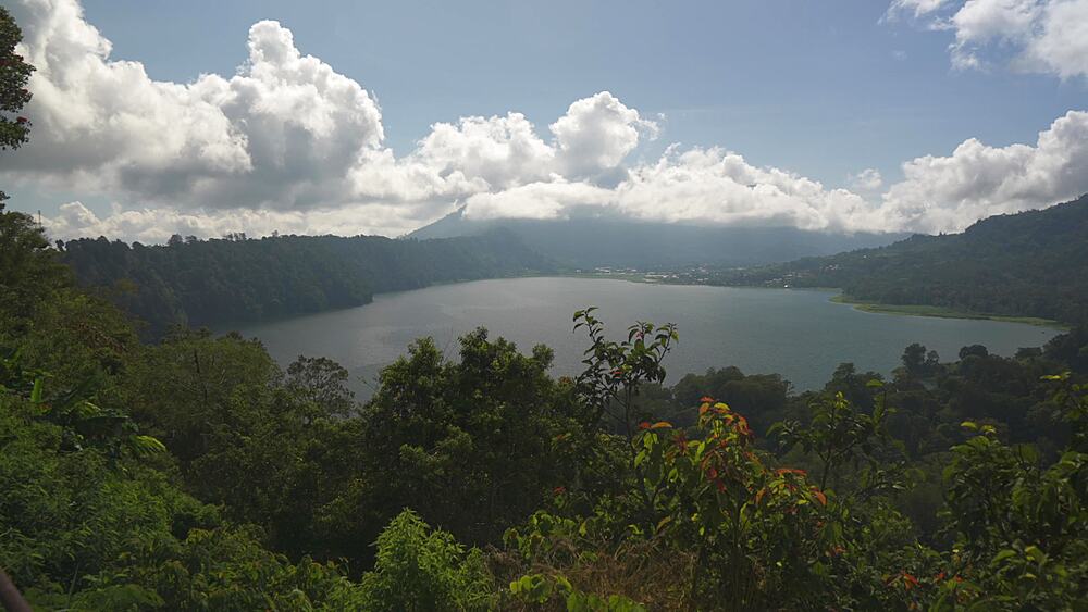
844-29303 - Buyan Lake, Wanagiri Sukasada Pancasari Sukasada, Gobleg, Kabupaten Buleleng, Bali, Indonesia, South East Asia, Asia
844-29302 - Buyan Lake, Wanagiri Sukasada Pancasari Sukasada, Gobleg, Kabupaten Buleleng, Bali, Indonesia, South East Asia, Asia
844-29301 - Overlooking Buyan Lake, Wanagiri Sukasada Pancasari Sukasada, Gobleg, Kabupaten Buleleng, Bali, Indonesia, South East Asia, Asia
844-29300 - Buyan Lake and Tamblingan Lake, Wanagiri Sukasada Pancasari Sukasada, Gobleg, Kabupaten Buleleng, Bali, Indonesia, South East Asia, Asia
844-29299 - Overlooking Buyan Lake, Wanagiri Sukasada Pancasari Sukasada, Gobleg, Kabupaten Buleleng, Bali, Indonesia, South East Asia, Asia
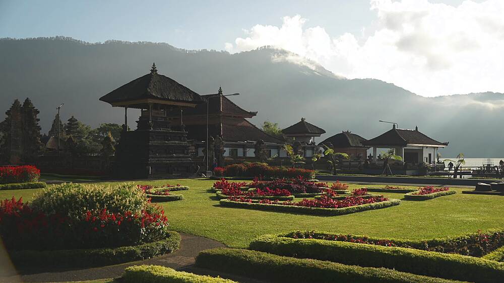
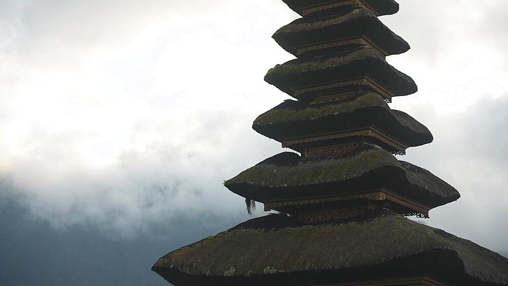
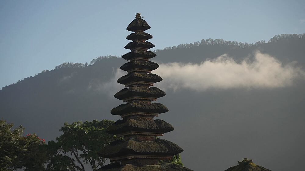
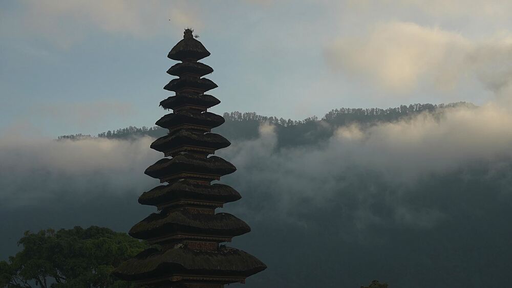
844-29281 - Ulun Danu Beratan Temple and mountainous backdrop at sunrise, Bali, Indonesia, South East Asia, Asia
844-29278 - Canang sari, offering to the Gods at Ulun Danu Beratan Temple and lake Danu Beratan Bedugul at sunrise, Bali, Indonesia, South East Asia, Asia
844-29275 - Couple on boat and Ulun Danu Beratan Temple and lake Danu Beratan Bedugul at sunrise, Bali, Indonesia, South East Asia, Asia
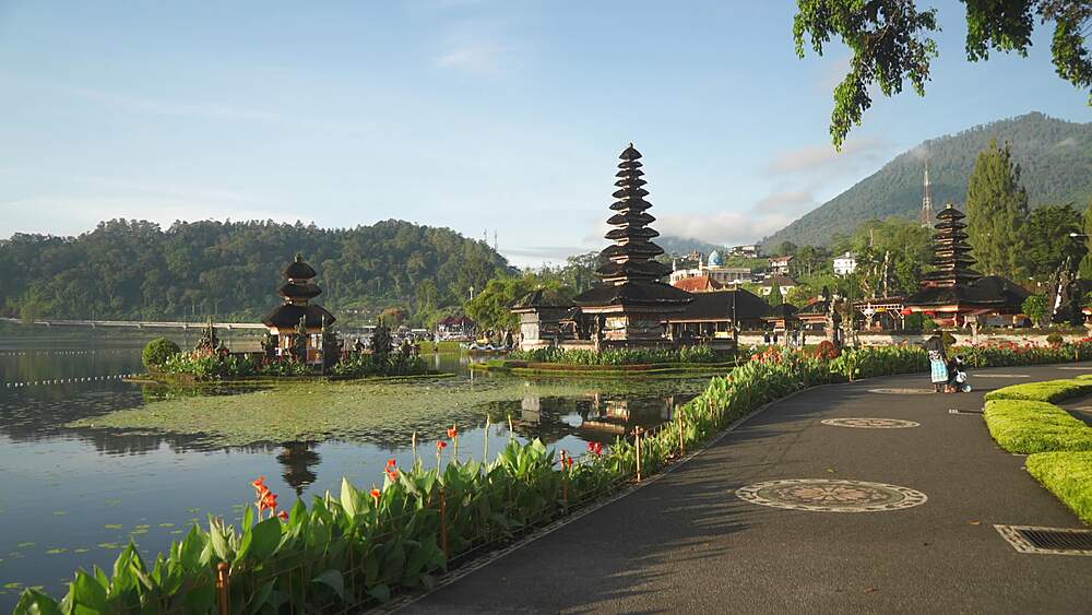
844-29272 - Ulun Danu Beratan Temple and lake Danu Beratan Bedugul at sunrise, Bali, Indonesia, South East Asia, Asia
844-29269 - Ulun Danu Beratan Temple and lake Danu Beratan Bedugul at sunrise, Bali, Indonesia, South East Asia, Asia
844-29266 - Ulun Danu Beratan Temple and lake Danu Beratan Bedugul at sunrise, Bali, Indonesia, South East Asia, Asia
844-29263 - Ulun Danu Beratan Temple and lake Danu Beratan Bedugul at sunrise, Bali, Indonesia, South East Asia, Asia
844-29282 - Ulun Danu Beratan Temple and mountainous backdrop at sunrise, Bali, Indonesia, South East Asia, Asia
844-29280 - Ulun Danu Beratan Temple and lake Danu Beratan Bedugul at sunrise, Bali, Indonesia, South East Asia, Asia
844-29277 - Canang sari, offering to the Gods at Ulun Danu Beratan Temple and lake Danu Beratan Bedugul at sunrise, Bali, Indonesia, South East Asia, Asia
844-29274 - Ulun Danu Beratan Temple and lake Danu Beratan Bedugul at sunrise, Bali, Indonesia, South East Asia, Asia
844-29271 - Ulun Danu Beratan Temple and lake Danu Beratan Bedugul at sunrise, Bali, Indonesia, South East Asia, Asia
844-29268 - Canang sari, offering to the Gods at Ulun Danu Beratan Temple and lake Danu Beratan Bedugul at sunrise, Bali, Indonesia, South East Asia, Asia
844-29265 - Ulun Danu Beratan Temple and lake Danu Beratan Bedugul at sunrise, Bali, Indonesia, South East Asia, Asia


