Recent searches
Loading...
1184-12084 - Ancient Sahira Dam at the Pre-Aksumite settlement Qohaito, Eritrea
1184-12083 - Tomb in the Pre-Aksumite settlement Qohaito, Eritrea
1184-12082 - Colourful dressed schoolgirls at their way home at the Pre-Aksumite settlement Qohaito, Eritrea
1184-12081 - Blooming flowers before the columns of a ruined structure at the Pre-Aksumite settlement Qohaito, Eritrea
1184-12080 - Blooming flowers before the columns of a ruined structure at the Pre-Aksumite settlement Qohaito, Eritrea
1184-12078 - Overlook over a huge canoyn from the Pre-Aksumite settlement Qohaito, Eritrea
1184-12079 - Overlook over a huge canoyn from the Pre-Aksumite settlement Qohaito, Eritrea
1184-12077 - The columns of a ruined structure at the Pre-Aksumite settlement Qohaito, Eritrea
1184-12076 - The columns of a ruined structure at the Pre-Aksumite settlement Qohaito, Eritrea
1184-12075 - Huge canyon at the Pre-Aksumite settlement Qohaito, Eritrea
1184-12074 - Ancient rock paintings at the Pre-Aksumite settlement Qohaito, Eritrea
1184-12073 - Ancient rock paintings at the Pre-Aksumite settlement Qohaito, Eritrea
1184-12072 - Guide pointing out ancient rock paintings at the Pre-Aksumite settlement Qohaito, Eritrea
1184-12071 - Huge canyon at the Pre-Aksumite settlement Qohaito, Eritrea
1184-12070 - Huge canyon at the Pre-Aksumite settlement Qohaito, Eritrea
1360-563 - Alignements de Lagatjar, pre-historic standing stones, Camaret-sur-Mer, Finistere, Brittany, France, Europe
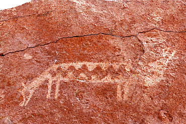
860-291990 - Pre-Hispanic petroglyphs. Stopover for caravans linking the altiplano to the Pacific coast. Hierbas Buenas, Atacama Desert, Chile.
832-402678 - Lake Guatavita, Colombian Andes, Colombia, South America
832-402677 - Lake Guatavita, Colombian Andes, Colombia, South America
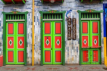
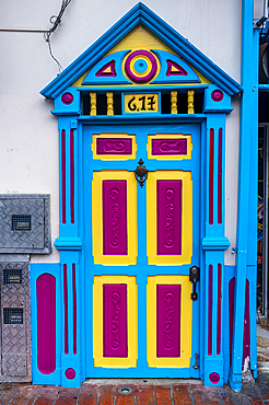
832-402676 - Colourful houses in the Unesco site coffee cultural landscape, Filandia, Colombia, South America
832-402675 - Colourful houses in the Unesco site coffee cultural landscape, Filandia, Colombia, South America
832-402674 - Colourful houses in the Unesco site coffee cultural landscape, Filandia, Colombia, South America
832-402672 - Colourful houses in the Unesco site coffee cultural landscape, Filandia, Colombia, South America
832-402673 - Colourful houses in the Unesco site coffee cultural landscape, Filandia, Colombia, South America
832-402671 - Colourful houses in the Unesco site coffee cultural landscape, Filandia, Colombia, South America
832-402670 - Cable car, Bogota, Colombia, South America
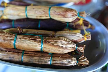
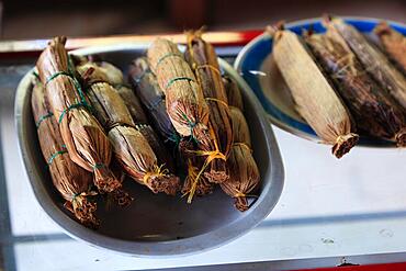
832-402010 - Colombian speciality, banana leaves stuffed with rice, coconut rice, grilled, Colombia, South America
832-402009 - Colombian speciality, banana leaves stuffed with rice, coconut rice, grilled, Colombia, South America
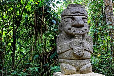
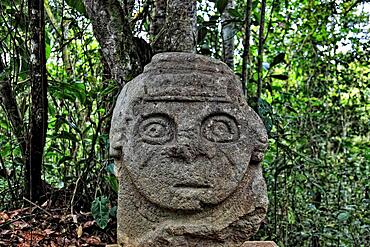
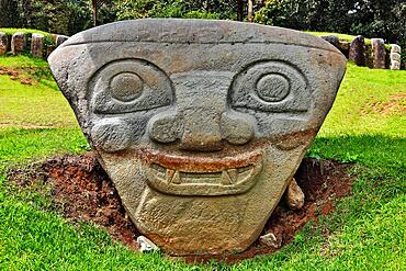
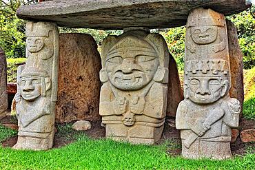
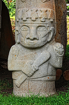
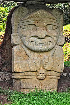
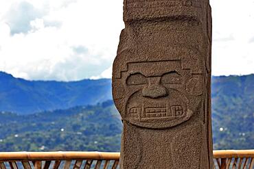
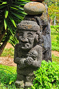
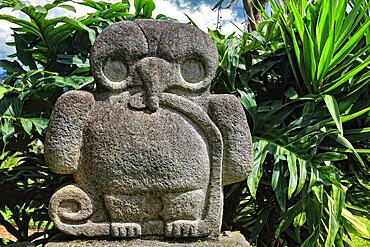
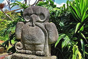
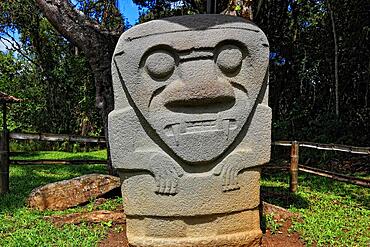
832-402007 - Republic of Colombia, San Augustin, Departamento Huila, archaeological site, prehistoric statues carved from lava and basalt, Colombia, South America
832-402008 - Three cooking pots on a cooker in an open-air kitchen, Colombia, South America
832-402005 - Republic of Colombia, Colombia, Departamento Bolivar, City of Cartagena de Indias, Iglesia San Pedro Claver in the historic old town and old town wall, Colombia, South America
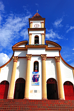
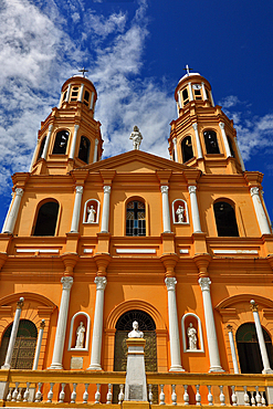
832-402006 - Republic of Colombia, Rivera, Municipality in the Department of Huila, Church Marketplace, Colombia, South America
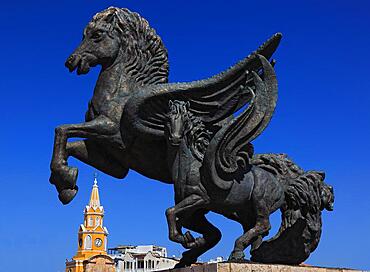
832-402004 - Puerta del Reloj Tower and Horse Statue Monumento a los Pagasos, Muelle de los Pegasos City of Cartagena de Indias, Colombia, South America
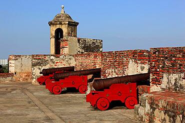
832-402003 - Republic of Colombia, Colombia, Departamento Bolivar, City of Cartagena de Indias, part of the castle complex, Castillo San Philippe de Barajas, cannons, Colombia, South America
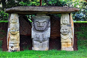
832-402001 - Republic of Colombia, San Augustin, Departamento Huila, archaeological site, prehistoric figures and statues carved from lava and basalt, Colombia, South America
832-402002 - Republic of Colombia, Colombia, La Plata, Department of Huila, Church, Iglesia San Sebastian La Plata, Colombia, South America
832-402000 - Republic of Colombia, San Augustin, Departamento Huila, archaeological site, prehistoric figures and statues carved from lava and basalt, Colombia, South America
832-401998 - Republic of Colombia, San Augustin, Departamento Huila, archaeological site, prehistoric figures and statues carved from lava and basalt, Colombia, South America
832-401999 - Republic of Colombia, San Augustin, Departamento Huila, archaeological site, prehistoric figures and statues carved from lava and basalt, Colombia, South America
832-401997 - Republic of Colombia, San Augustin, Departamento Huila, archaeological site, prehistoric figures and statues carved from lava and basalt, Colombia, South America
832-401995 - Republic of Colombia, San Augustin, Departamento Huila, archaeological site, prehistoric figures and statues carved from lava and basalt, Colombia, South America
832-401996 - Republic of Colombia, San Augustin, Departamento Huila, archaeological site, prehistoric figures and statues carved from lava and basalt, Colombia, South America
832-401994 - Republic of Colombia, San Augustin, Departamento Huila, archaeological site, prehistoric figures and statues carved from lava and basalt, Colombia, South America
832-401992 - Republic of Colombia, San Augustin, Departamento Huila, archaeological site, prehistoric figures and statues carved from lava and basalt, Colombia, South America
832-401993 - Republic of Colombia, San Augustin, Departamento Huila, archaeological site, prehistoric figures and statues carved from lava and basalt, Colombia, South America
832-401991 - Republic of Colombia, San Augustin, Departamento Huila, archaeological site, prehistoric figures and statues carved from lava and basalt, Colombia, South America
832-401990 - Republic of Colombia, San Augustin, Departamento Huila, archaeological site, prehistoric figures and statues carved from lava and basalt, Colombia, South America
832-401988 - Republic of Colombia, San Augustin, Departamento Huila, archaeological site, prehistoric statues carved from lava and basalt, Colombia, South America
832-401989 - Republic of Colombia, San Augustin, Departamento Huila, archaeological site, prehistoric statues carved from lava and basalt, Colombia, South America
832-401987 - Republic of Colombia, San Augustin, Departamento Huila, archaeological site, prehistoric statues carved from lava and basalt, Colombia, South America
832-401985 - Republic of Colombia, San Augustin, Departamento Huila, archaeological site, prehistoric statues carved from lava and basalt, Colombia, South America
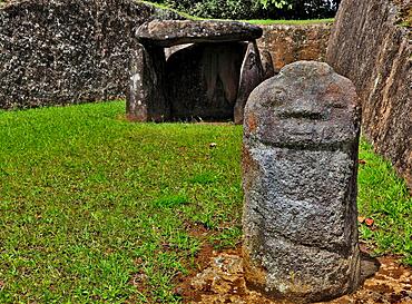
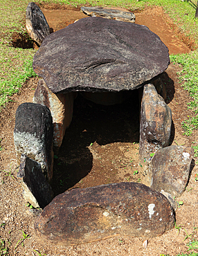
832-401986 - Republic of Colombia, San Augustin, Departamento Huila, archaeological site, burial site, Colombia, South America
832-401984 - Republic of Colombia, San Augustin, Departamento Huila, archaeological site, prehistoric statues carved from lava and basalt, Colombia, South America
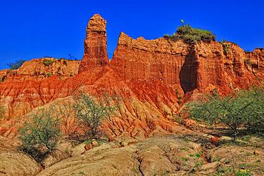
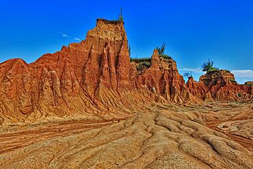
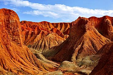
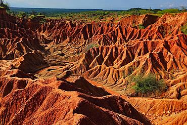
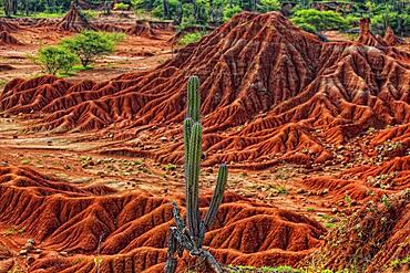
832-401982 - Republic of Colombia, Tatacoa Desert, landscape in the department of Huila, Desierto de la Tatacoa, Tatacoa Desert is a desert of about 330 km² in Colombia, in the northern part of the province of Huila in the valley of the Rio Magdalena, a dry basin at the foot of the Eastern Cordillera, tropical dry forest, playful rock cones, washed-out gorges and rock formations, Colombia, South America
832-401983 - Republic of Colombia, Landscape in the Department of Huila near the Tatacoa Desert, Desierto de la Tatacoa, Mule and wayside shrine, Colombia, South America
832-401981 - Republic of Colombia, Tatacoa Desert, landscape in the department of Huila, Desierto de la Tatacoa, Tatacoa Desert is a desert of about 330 km² in Colombia, in the northern part of the province of Huila in the valley of the Rio Magdalena, a dry basin at the foot of the Eastern Cordillera, tropical dry forest, playful rock cones, washed-out gorges and rock formations, Colombia, South America
832-401980 - Republic of Colombia, Tatacoa Desert, landscape in the department of Huila, Desierto de la Tatacoa, Tatacoa Desert is a desert of about 330 km² in Colombia, in the northern part of the province of Huila in the valley of the Rio Magdalena, a dry basin at the foot of the Eastern Cordillera, tropical dry forest, playful rock cones, washed-out gorges and rock formations, Colombia, South America
832-401979 - Republic of Colombia, Tatacoa Desert, landscape in the department of Huila, Desierto de la Tatacoa, Tatacoa Desert is a desert of about 330 km² in Colombia, in the northern part of the province of Huila in the valley of the Rio Magdalena, a dry basin at the foot of the Eastern Cordillera, tropical dry forest, playful rock cones, washed-out gorges and rock formations, Colombia, South America
832-401978 - Republic of Colombia, Tatacoa Desert, landscape in the department of Huila, Desierto de la Tatacoa, Tatacoa Desert is a desert of about 330 km² in Colombia, in the northern part of the province of Huila in the valley of the Rio Magdalena, a dry basin at the foot of the Eastern Cordillera, tropical dry forest, playful rock cones, washed-out gorges and rock formations, Colombia, South America
860-291826 - Potting a pruned olive tree in a pot, step by step. Pre-bonsai as commercially available.
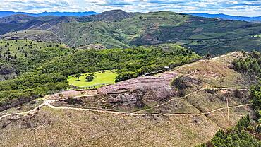
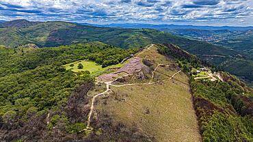
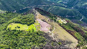
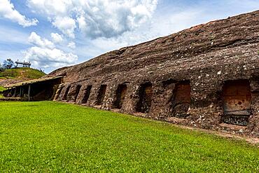
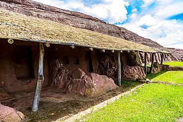
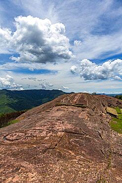
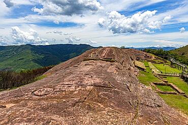
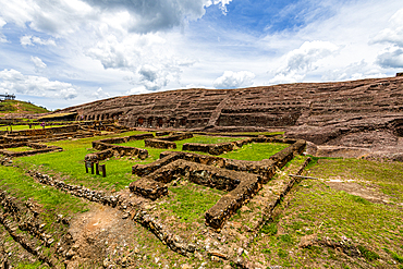
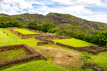
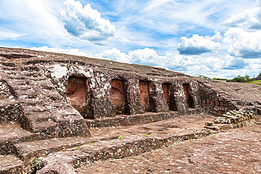
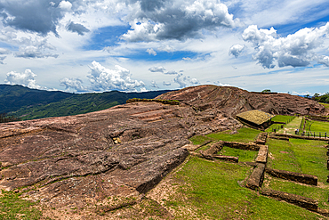
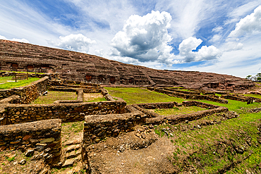
832-400964 - Aerial of the Unesco site El Fuerte de Samaipata, Pre-Columbian archaeological site, Santa Cruz department, Bolivia, South America
832-400963 - Aerial of the Unesco site El Fuerte de Samaipata, Pre-Columbian archaeological site, Santa Cruz department, Bolivia, South America
832-400962 - Aerial of the Unesco site El Fuerte de Samaipata, Pre-Columbian archaeological site, Santa Cruz department, Bolivia, South America
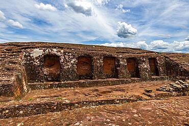
832-400959 - Unesco site El Fuerte de Samaipata, Pre-Columbian archaeological site, Santa Cruz department, Bolivia, South America
832-400958 - Unesco site El Fuerte de Samaipata, Pre-Columbian archaeological site, Santa Cruz department, Bolivia, South America
832-400957 - Unesco site El Fuerte de Samaipata, Pre-Columbian archaeological site, Santa Cruz department, Bolivia, South America
832-400956 - Unesco site El Fuerte de Samaipata, Pre-Columbian archaeological site, Santa Cruz department, Bolivia, South America
832-400955 - Unesco site El Fuerte de Samaipata, Pre-Columbian archaeological site, Santa Cruz department, Bolivia, South America
832-400954 - Unesco site El Fuerte de Samaipata, Pre-Columbian archaeological site, Santa Cruz department, Bolivia, South America
832-400953 - Unesco site El Fuerte de Samaipata, Pre-Columbian archaeological site, Santa Cruz department, Bolivia, South America
832-400952 - Unesco site El Fuerte de Samaipata, Pre-Columbian archaeological site, Santa Cruz department, Bolivia, South America
832-400950 - Unesco site El Fuerte de Samaipata, Pre-Columbian archaeological site, Santa Cruz department, Bolivia, South America
832-400951 - Unesco site El Fuerte de Samaipata, Pre-Columbian archaeological site, Santa Cruz department, Bolivia, South America
832-400949 - Unesco site El Fuerte de Samaipata, Pre-Columbian archaeological site, Santa Cruz department, Bolivia, South America
1131-1841 - Chullpas at Ninamarca pre-Inca archaeological site, Paucartambo province, Cusco region, Peru, South America
1131-1842 - Chullpas at Ninamarca pre-Inca archaeological site, Paucartambo province, Cusco region, Peru, South America
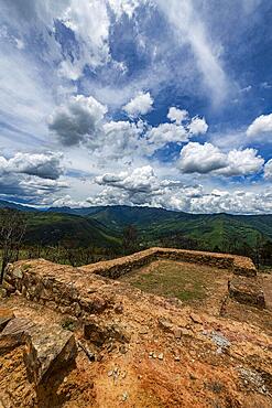
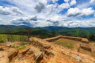
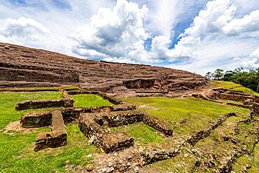
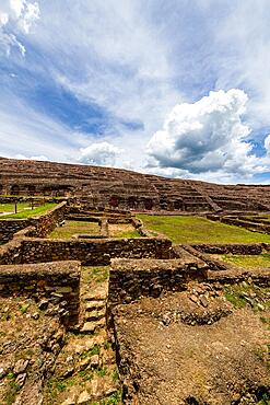
1184-7922 - El Fuerte de Samaipata, Pre-Columbian archaeological site, UNESCO World Heritage Site, Santa Cruz department, Bolivia, South America
1184-7920 - El Fuerte de Samaipata, Pre-Columbian archaeological site, UNESCO World Heritage Site, Santa Cruz department, Bolivia, South America
1184-7921 - El Fuerte de Samaipata, Pre-Columbian archaeological site, UNESCO World Heritage Site, Santa Cruz department, Bolivia, South America
1184-7918 - El Fuerte de Samaipata, Pre-Columbian archaeological site, UNESCO World Heritage Site, Santa Cruz department, Bolivia, South America
1184-7919 - El Fuerte de Samaipata, Pre-Columbian archaeological site, UNESCO World Heritage Site, Santa Cruz department, Bolivia, South America
1184-7917 - El Fuerte de Samaipata, Pre-Columbian archaeological site, UNESCO World Heritage Site, Santa Cruz department, Bolivia, South America
1184-7916 - Aerial of El Fuerte de Samaipata, Pre-Columbian archaeological site, UNESCO World Heritage Site, Santa Cruz department, Bolivia, South America
1184-7915 - Aerial of El Fuerte de Samaipata, Pre-Columbian archaeological site, UNESCO World Heritage Site, Santa Cruz department, Bolivia, South America
1184-7912 - Aerial of El Fuerte de Samaipata, Pre-Columbian archaeological site, UNESCO World Heritage Site, Santa Cruz department, Bolivia, South America
1350-6636 - Aerial view of Mayan Ruin of Chichen Itza Archaeological Site Yucatan Peninsula, Quintana Roo, Caribbean Coast, Mexico
1350-6635 - Aerial view of Mayan Ruin of Chichen Itza Archaeological Site Yucatan Peninsula, Quintana Roo, Caribbean Coast, Mexico
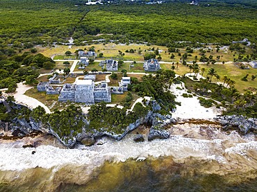
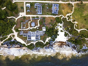
1350-6597 - Aerial views of El Castillo and the Ruins of the Mayan temple grounds at Tulum, Quintana Roo, Yucatan, Mexico. Tulum is the site of a pre-Columbian Mayan walled city which served as a major port for Coba, in the Mexican state of Quintana Roo. The ruins are situated on 12 meter 39 ft tall cliffs along the east coast of the Yucatán Peninsula on the Caribbean Sea in the state of Quintana Roo, Mexico. Tulum was one of the last cities built and inhabited by the Maya; it was at its height between the 13th and 15th centuries and managed to survive about 70 years after the Spanish began occupying Mexico. Old World diseases brought by the Spanish settlers appear to have resulted in very high fatalities, disrupting the society, and eventually causing the city to be abandoned.
1350-6599 - Aerial views of El Castillo and the Ruins of the Mayan temple grounds at Tulum, Quintana Roo, Yucatan, Mexico. Tulum is the site of a pre-Columbian Mayan walled city which served as a major port for Coba, in the Mexican state of Quintana Roo. The ruins are situated on 12 meter 39 ft tall cliffs along the east coast of the Yucatán Peninsula on the Caribbean Sea in the state of Quintana Roo, Mexico. Tulum was one of the last cities built and inhabited by the Maya; it was at its height between the 13th and 15th centuries and managed to survive about 70 years after the Spanish began occupying Mexico. Old World diseases brought by the Spanish settlers appear to have resulted in very high fatalities, disrupting the society, and eventually causing the city to be abandoned.
1350-6677 - Montserrat is a mountain near Barcelona, in Catalonia. It is the site of a Benedictine abbey, Santa Maria de Montserrat, which hosts the Virgin of Montserrat sanctuary.
Montserrat is a multi-peaked mountain range near Barcelona, in Catalonia, Spain. It is part of the Catalan Pre-Coastal Range. The main peaks are Sant Jeroni (1,236 m), Montgrós (1,120 m) and Miranda de les Agulles (903 m). It is well known as the site of the Benedictine abbey, Santa Maria de Montserrat, which hosts the Virgin of Montserrat sanctuary. Montserrat literally means "saw (serrated, like the common handsaw) mountain" in Catalan. It describes its peculiar aspect with multitude of rock formations which are visible from a great distance. The mountain is composed of strikingly pink conglomerate, a form of sedimentary rock. Montserrat was designated as a National Park in 1987. On this mountain we will have access to the Monastery of Montserrat which houses the virgin that gives its name to the monastery, although it is also known as La Moreneta
1350-6645 - El Castillo, The Pyramid of Kukulkán, is the Most Popular Building in the UNESCO Mayan Ruin of Chichen Itza Archaeological Site Yucatan Peninsula, Quintana Roo, Caribbean Coast, Mexico
1350-6644 - The Church and Nunnery at Chichen Itza Archaeological Site in Yucatan Peninsula, Quintana Roo, Caribbean Coast, Mexico
1350-6643 - Stony stairs of tomb of the High Priest pyramid at Chichen Itza Archaeological Site in Yucatan Peninsula, Quintana Roo, Caribbean Coast, Mexico
1350-6642 - The Great Ball Court in the Mayan Ruins of Chichen Itza Archaeological Site Yucatan Peninsula, Quintana Roo, Caribbean Coast, Mexico
1350-6640 - Serpent head sculpture in Mayan Ruin of Chichen Itza Archaeological Site in Yucatan Peninsula, Quintana Roo, Caribbean Coast, Mexico
1350-6639 - El Castillo, The Pyramid of Kukulkán, is the Most Popular Building in the UNESCO Mayan Ruin of Chichen Itza Archaeological Site Yucatan Peninsula, Quintana Roo, Caribbean Coast, Mexico
1350-6637 - El Castillo, The Pyramid of Kukulkán, is the Most Popular Building in the UNESCO Mayan Ruin of Chichen Itza Archaeological Site Yucatan Peninsula, Quintana Roo, Caribbean Coast, Mexico. Asian tour leder dressed in a maya style.
1350-6638 - El Castillo, The Pyramid of Kukulkán, is the Most Popular Building in the UNESCO Mayan Ruin of Chichen Itza Archaeological Site Yucatan Peninsula, Quintana Roo, Caribbean Coast, Mexico
832-396984 - Hikers on the Benediktenwand, mountains and landscape, Bavarian pre-Alpine landscape, Benediktbeuern, Bavaria, Germany, Europe
1184-6907 - Pre-Columbian hypogea or tombs, UNESCO World Heritage Site, Tierradentro, Colombia, South America


