Recent searches
Loading...
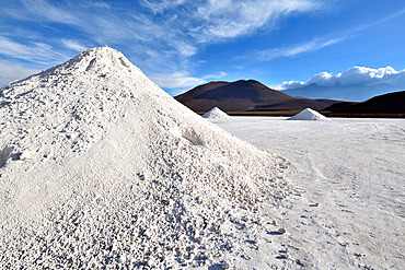
860-291574 - El Cebollar cobalt mine. Antofogasta Region N. Chile
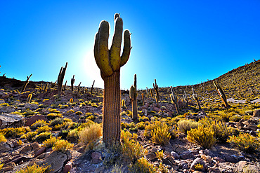
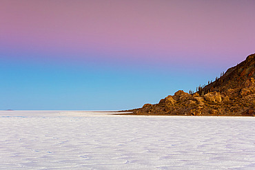
860-291569 - Atacama columnar cactus (Echinopsis atacamensis subsp. pasacanaor or Trichocereus pasacana), Isla del Pescado, Salar d'Uyuni, Altiplano, Bolivia.
832-398582 - Green Acacia tree Vachellia tortilisstands in front of the Etosha salt pan in the desert. On the salt pan many animals are crossing from the left to the right. Etosha National Park, Namibia, Africa
860-291341 - Dead acacia tree on the background of sand dunes and stripes of morning fog. A very rare natural phenomenon for these places. Stunning light, color and shape. Sossusvlei. Deadvlei. Namib-Naukluft National Park. Landscapes of Namibia. Africa.
860-290998 - Vicugna or Vicuea (Vicugna vicugna), Salar de Ascotán, Andes, Chili
860-290997 - Vicugna or Vicuea (Vicugna vicugna), Laguna bianca, Andes, Bolivia
1184-7224 - Aerial of Sor Tuzbair, a solonchak (salt marsh), Mangystau, Kazakhstan, Central Asia, Asia
1184-7221 - Aerial of massive rock cliff, Sor Tuzbair, a solonchak (salt marsh), Mangystau, Kazakhstan, Central Asia, Asia
1184-7222 - Sor Tuzbair, a solonchak (salt marsh), Mangystau, Kazakhstan, Central Asia, Asia
1184-7223 - Aerial of Sor Tuzbair, a solonchak (salt marsh), Mangystau, Kazakhstan, Central Asia, Asia
1184-7220 - Wild horses grazing in front of Sor Tuzbair, a solonchak (salt marsh), Mangystau, Kazakhstan, Central Asia, Asia
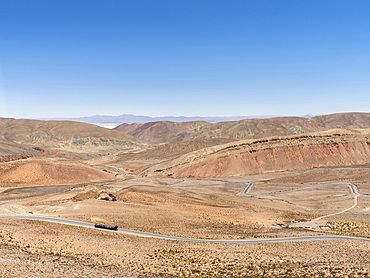
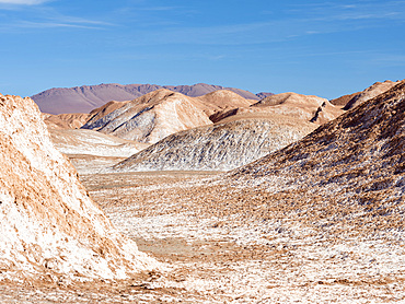
746-90996 - View from Mtn pass Abra de Potrerillos, Salar in the background. Landscape near the salt flats Salar Salinas Grandes in the Altiplano. South America, Argentina
746-90983 - Salt processing area open to visitors Landscape on the salt flats Salar Salinas Grandes in the Altiplano. South America, Argentina
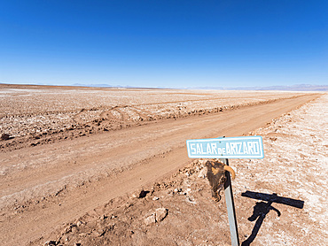
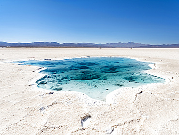
746-90972 - Ojos de Mar. The Argentinian Altiplano along the Routa 27 near Tolar Grande and the Salar de Arizaro. South America, Argentina
746-90980 - Salt processing area open to visitors Landscape on the salt flats Salar Salinas Grandes in the Altiplano. South America, Argentina
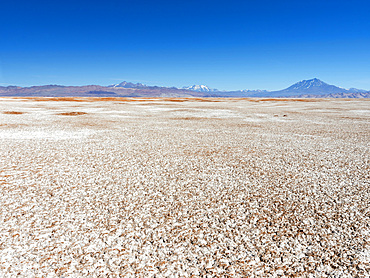
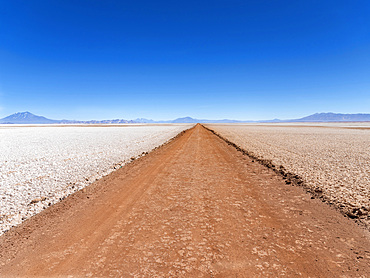
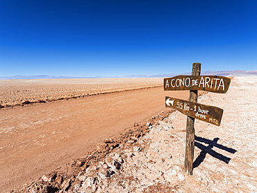
746-90971 - Salar de Arizaro, one of the largest salt flats in the world. The Altiplano near village Tolar Grande in Argentina close to the border to Chile. South America, Argentina
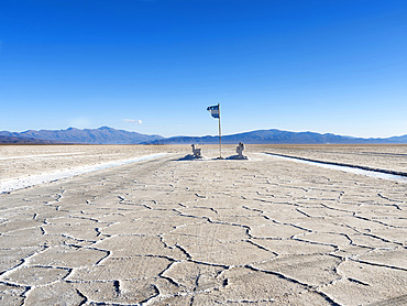
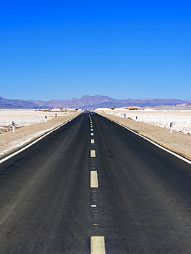
746-90977 - Routa 52 is crossing the Salar towards Chile. Landscape on the salt flats Salar Salinas Grandes in the Altiplano. South America, Argentina
746-90982 - Salt processing area open to visitors Landscape on the salt flats Salar Salinas Grandes in the Altiplano. South America, Argentina
746-90984 - Surface of the Salar predominantly natriumchloride. Landscape on the salt flats Salar Salinas Grandes in the Altiplano. South America, Argentina
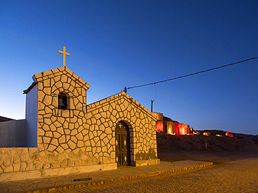
746-90951 - The church. Village Tolar Grande in Argentina near the salt flat Salar de Arizaro . South America, Argentina
746-90979 - Salt processing area open to visitors Landscape on the salt flats Salar Salinas Grandes in the Altiplano. South America, Argentina
746-90954 - Salar de Arizaro, one of the largest salt flats in the world. The Altiplano near village Tolar Grande in Argentina close to the border to Chile. South America, Argentina
746-91003 - The salt flats Salar de Pocitos in the Argentinian Altiplano. South America, Argentina
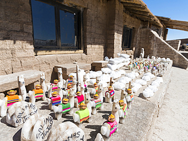
746-90981 - Salt processing area open to visitors, typical curios. The salt flats Salar Salinas Grandes in the Altiplano. South America, Argentina
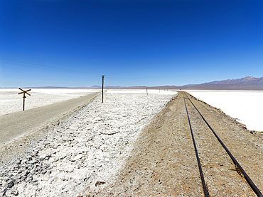
746-91004 - The salt flats Salar de Pocitos in the Argentinian Altiplano. Routa 27 and the railway Salta - Antofagasta is crossing the salt flats. South America, Argentina
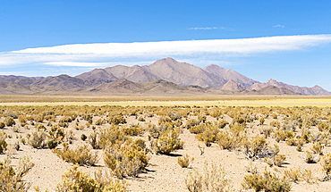
746-90994 - Landscape near the salt flats Salinas Grandes in the Altiplano. South America, Argentina
746-90957 - Salar de Arizaro, one of the largest salt flats in the world. The Altiplano near village Tolar Grande in Argentina close to the border to Chile. South America, Argentina
746-90953 - Village Tolar Grande in Argentina near the salt flat Salar de Arizaro . South America, Argentina
746-90952 - The ruins of the old town. Village Tolar Grande in Argentina near the salt flat Salar de Arizaro . South America, Argentina
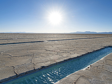
746-90978 - Ojos del Salar, groundwater ponds and surface of the Salar predominantly natriumchloride. Landscape on the salt flats Salar Salinas Grandes in the Altiplano. South America, Argentina
746-90955 - Salar de Arizaro, one of the largest salt flats in the world. The Altiplano near village Tolar Grande in Argentina close to the border to Chile. South America, Argentina
746-90973 - Ojos de Mar. The Argentinian Altiplano along the Routa 27 near Tolar Grande and the Salar de Arizaro. South America, Argentina
746-90956 - Salar de Arizaro, one of the largest salt flats in the world. The Altiplano near village Tolar Grande in Argentina close to the border to Chile. South America, Argentina
832-395375 - On Interstate 80 from Salt Lake City to the West, Desert, Salt Lake, Great lake, Truck, Road, Transport, Logistics, Sand, Sky, Utah, USA, North America
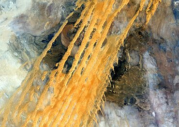
1348-4580 - Desert Erg Iguidi, Algeria, True Colour Satellite Image. True colour satellite image of Erg Iguidi, a sand desert between Algeria and Mauritania. The 250m wide dunes lay in the South on a sand plain, and in the North on a blakek sandstone area. The light blue areas are calcareous and salt crusts left out from the evaporation of the oueds' water. Image taken on 29 March 1987 using LANDSAT data.
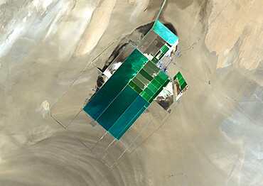
1348-3443 - The satellite image shows potash evaporation ponds in Lop Nur, a former salt lake in the Xinjiang Region, that spread over 20 kilometers
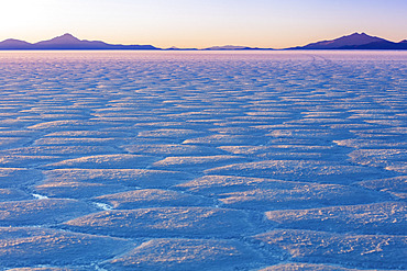
1116-51401 - Landscape in the Salar de Uyuni; Potosi, Bolivia
1116-51399 - Sunset over Cactus Island in the Salar de Uyuni; Potosi, Bolivia
1116-51400 - Landscape in the Salar de Uyuni; Potosi, Bolivia
1116-51402 - Landscape in the Salar de Uyuni; Potosi, Bolivia
1116-51526 - Deadvlei, a white clay pan surrounded by the highest sand dunes in the world, Namib Desert; Namibia
1116-51495 - Salt rocks for sale, Skeleton Coast, Dorob National Park; Namibia
1113-106413 - Ethiopia; Afar region; Danakil Desert; Danakil Depression; Workers on the salt pans; loosening and processing the salt plates in laborious manual work; rectangular salt plates are tied into packages
1113-106414 - Ethiopia; Afar region; Danakil Desert; Danakil Depression; Workers on the salt pans; loosening and processing the salt plates in laborious manual work; mostly in oppressive heat; Salt plates are tied into packages for transport
1113-106415 - Ethiopia; Afar region; Danakil Desert; Danakil Depression; Dallol geothermal area; hot sulfur springs; cone-like formation in intense yellow, red and green tones
860-290198 - Miscanti Laguna and Miñiques volcano, Los Flamencos National Reserve, San Pedro de Atacama, Chili
860-290197 - Miscanti Laguna and Miñiques volcano, Los Flamencos National Reserve, San Pedro de Atacama, Chili
1350-3370 - Salt flat formations in Badwater Basin, Death Valley National Park, California.
1350-2889 - Tourist walk on salt flats in the Danakil Depression, Ethiopia
1350-2902 - The rocky landscape of the Danakil Depression, Ethiopia
1350-3146 - Salt formations at Badwater, Death Valley National Park, California.
860-288760 - Aerial view of Salt Evaporation Ponds, Walvis Bay, Skeleton Coast, Namib Desert, Namibia.
860-288767 - Aerial view of Salt Evaporation Ponds, Walvis Bay, Skeleton Coast, Namib Desert, Namibia.
860-288766 - Aerial view of Salt Evaporation Ponds, Walvis Bay, Skeleton Coast, Namib Desert, Namibia.
1184-5598 - Aerials of the salt mines of Fachi, Tenere desert, Niger, West Africa, Africa
1184-5604 - Salt caravan transporting salt through the desert, Oasis Fachi, Tenere desert, Niger, West Africa, Africa
1184-5599 - Aerials of the salt mines of Fachi, Tenere desert, Niger, West Africa, Africa
1184-5603 - Salt caravan transporting salt through the desert, Oasis Fachi, Tenere desert, Niger, West Africa, Africa
1184-5596 - Multi coloured salt pools in the Salt mines of Bilma, Tenere desert, Niger, West Africa, Africa
1184-5592 - Aerial of the Salinas and their colourful salt pools, Bilma, Tenere desert, Niger, West Africa, Africa
1184-5591 - Tuaregs prepare their camels to transport salt through the desert from Bilma, Tenere desert, Niger, West Africa, Africa
1184-5593 - Camels getting loaded with salt cylinders, Bilma, Tenere desert, Niger, West Africa, Africa
1184-5597 - Salt formed into cylinders, salt mines of Bilma, Tenere desert, Niger, West Africa, Africa
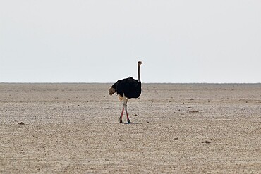
1336-270 - Lonely ostrich (Struthio) walking in the salt pan in the middle of Etosha, Etosha National Park, Namibia, Africa
1218-1412 - Model posing for the camera at sunset over the salt flats of the Mesquite Dunes, California, United States of America, North America
1174-9625 - Pebbles arranged on salt flat in the shape of a heart
832-389107 - Camels loaded with rock salt plates walk through a salt lake, Danakil depression, Ethiopia, Africa
832-389108 - Camels loaded with rock salt plates walk through a salt lake, Danakil depression, Ethiopia, Africa
832-389109 - Camels loaded with rock salt slabs walk at sunset through a salt lake, salt desert, Danakil depression, Ethiopia, Africa
832-389110 - Camels loaded with rock salt slabs walk at sunset through a salt lake, salt desert, Danakil depression, Ethiopia, Africa
832-389111 - Camels loaded with rock salt slabs walk at sunset through a salt lake, salt desert, Danakil depression, Ethiopia, Africa
832-388929 - Geothermal area with sulphur deposits and acidic brines, Dallol, Danakil depression, Ethiopia, Africa
832-388928 - Geothermal area with sulphur deposits and acidic brines, Dallol, Danakil depression, Ethiopia, Africa
832-388936 - Stacked salt plates, dry salt lake at Dallol, Danakil Depression, Afar Region, Ethiopia, Africa
832-388934 - Afar nomads loading dromedary with salt plates from dry salt lake, near Dallol, Danakil Depression, Afar Region, Ethiopia, Africa
832-388935 - Dromedaries lie in dry salt lake, are loaded with salt plates, near Dallol, Danakil depression, Afar region, Ethiopia, Africa
832-388527 - Afar shepherd leads a dromedary caravan loaded with rock salt plates (halite) across the Lake Assale (Lake Assale), Danakil Depression, Afar Region, Ethiopia, Africa
832-388127 - Dried clay soil in Deadvlei, Sossusvlei, Namib Desert, Namib-Naukluft National Park, Namibia, Africa
832-388528 - Sunrise over the Assale Salt Lake, Hamadela, Danakil Depression Afar Dreick, Ethiopia, Africa
832-388071 - Salt plain, sign Badwater Basin, Death Valley National Park, California, USA, North America
1174-8686 - 5 year old boy with Meerkat on his head, Kalahari Desert, Makgadikgadi Salt Pans, Botswana
1174-8679 - male lion, Kalahari Desert, Makgadikgadi Salt Pans, Botswana, Botswana
1174-8694 - wash basin, Kalahari Desert, Makgadikgadi Salt Pans, Botswana
1174-8688 - 5 year old boy looking at Meerkats, Kalahari Desert, Makgadikgadi Salt Pans, Botswana
1174-8693 - Safari vehicle with a view over the salt pan landscape, Kalahari desert
1174-8683 - safari vehicles, Kalahari Desert, Makgadikgadi Salt Pans, Botswana
1174-8684 - safari vehicles, Kalahari Desert, Makgadikgadi Salt Pans, Botswana
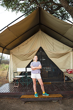
1174-8691 - 12 year old girl and tent, Kalahari Desert, Makgadikgadi Salt Pans, Botswana
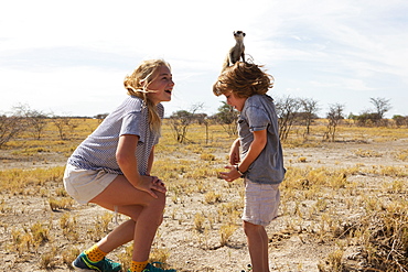
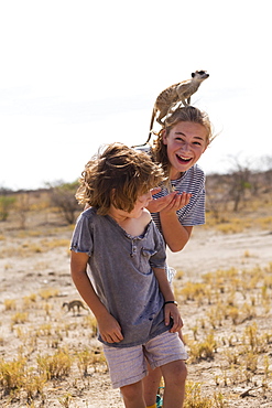
1174-8685 - 12 year old girl with Meerkat on her head, Kalahari Desert, Makgadikgadi Salt Pans, Botswana
1174-8697 - family in safari vehicle, Kalahari Desert, Makgadikgadi Salt Pans, Botswana
1174-8700 - 5 year old boy atop safari vehicle, Kalahari Desert, Makgadikgadi Salt Pans, Botswana
1174-8695 - senior man taking picture with smart phone, Kalahari Desert, Makgadikgadi Salt Pans, Botswana
1174-8692 - Kalahari Desert, Makgadikgadi Salt Pans, Botswana
1174-8727 - Burchell's zebra and Wildebeest, Kalahari Desert, Makgadikgadi Salt Pans, Botswana
1174-8689 - 5 year old boy with Meerkat on his head, Kalahari Desert, Makgadikgadi Salt Pans, Botswana
1174-8687 - 5 year old boy with Meerkat on his head, Kalahari Desert, Makgadikgadi Salt Pans, Botswana
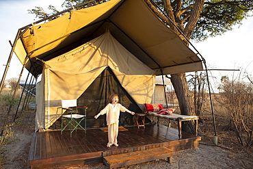
1174-8722 - A five year old boy standing outside a tent arms outstretched, yawning yawning outside tent, Kalahari Desert, Makgadikgadi Salt Pans, Botswana
