Recent searches
Loading...
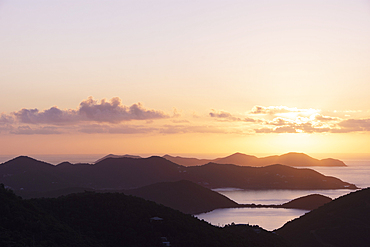
1178-44363 - USA, United States Virgin Islands, St. John, Golden sunrise over calm Caribbean Sea
1178-44362 - USA, United States Virgin Islands, St. John, Golden sunrise over calm Caribbean Sea
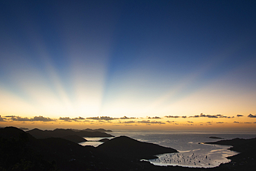
1178-44361 - USA, United States Virgin Islands, St. John, Sunbeams over Caribbean Sea at sunset
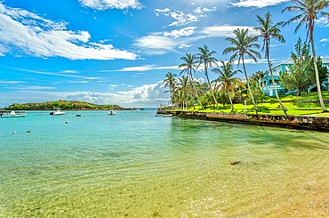
1358-298 - Hungry Bay, part of the Hungry Bay Nature Reserve which includes the largest mangrove coastal swamp on the island, Paget Parish, Bermuda, North Atlantic, North America
1375-8 - The crystal clear turquoise ocean, at Grote Knip beach, famous for its blue water, on the Dutch Caribbean island of Curacao, West Indies, Caribbean, Central America
1358-268 - Turtle Island, Harrington Sound, Smiths, Bermuda, Atlantic, North America
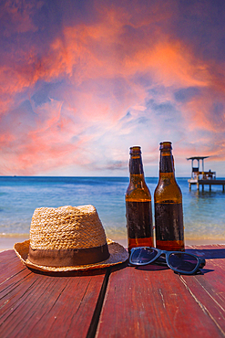
832-404288 - Two beers on West End beach on Roatan Island. Honduras
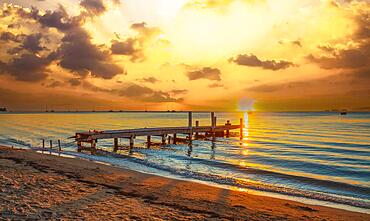
832-404287 - Sunset landscape of West End Beach, Roatan Island. Honduras
832-404286 - A young brunette passing a blue door in the Caribbean Sea on Roatan Island. Honduras
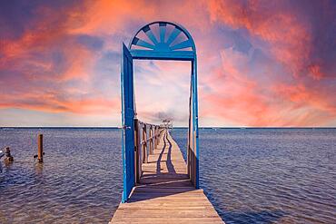
832-404249 - A blue door in the Caribbean Sea on the island of Roatan at sunset. Honduras
1116-52834 - Stunning view of the sandy beach with surf forming a zigzag pattern in the foam next to the large, boulders lining the shores at The Baths, a famous beach in the BVI's, Virgin Gorda, British Virgin Islands, Caribbean
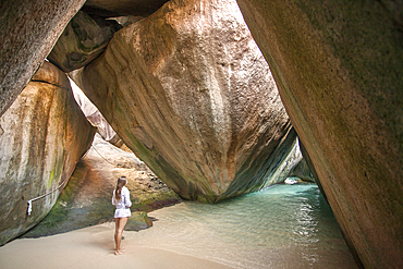
1116-52832 - Woman standing under the large, boulders on the seaside shores of The Baths, a famous beach in the BVI's, Virgin Gorda, British Virgin Islands, Caribbean
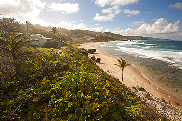
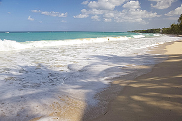
1116-52831 - Scenic view down the coastline looking north from Bathsheba, Bathsheba, Barbados, Caribbean
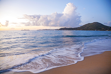
1116-52830 - Scenic view of the seaside surf on a beach near the harbor on Virgin Gorda at twilight, British Virgin Islands, Caribbean
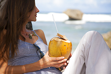
1116-52828 - Close-up of a woman sitting on the beach looking out at the ocean holding a coconut with a straw, Bathsheba, Barbados, Caribbean
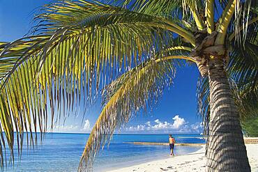
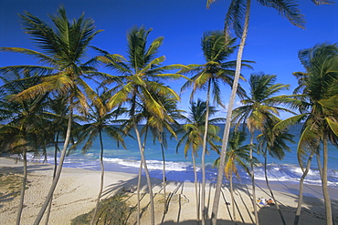
1116-52829 - Palm lined beach at Bathsheba, Bathsheba, Barbados, Caribbean
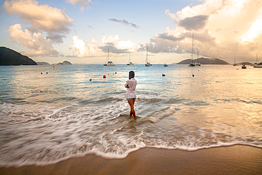
1116-52827 - View taken from behind of a woman standing in the foamy surf on the beach, looking out at the turquoise water with boats moored off shore along the horizon in Cane Garden Bay at twilight, Tortola, British Virgin Islands, Caribbean
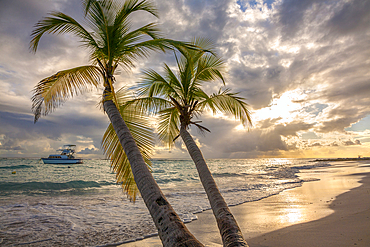
1116-52825 - Close-up of palm tree with a yacht moored off shore and the turquoise water and foamy surf rolls onto the pristine white sand beach at twilight in the small village of Worthing, Worthing, Barbados, Caribbean
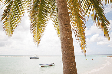
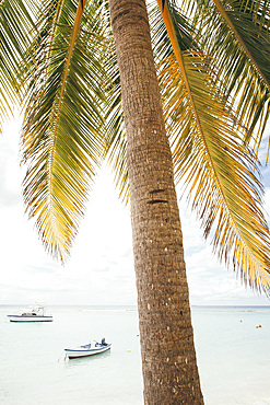
1116-52822 - Close-up of palm tree with people swimming and boats moored close to shore on the pristine white sand beach at the small village of Worthing, Worthing, Barbados, Caribbean
1116-52823 - Close-up of palm tree with people swimming and boats moored close to shore on the pristine white sand beach at the small village of Worthing, Worthing, Barbados, Caribbean
1116-52776 - The Baths' beach on Virgin Gorda, BVI, Virgin Gorda, British Virgin Islands
832-402433 - A gorgeous latin model enjoys swimming in a pool on the Gulf of Mexico near Sinanche Yucatan Mexico
1358-166 - Martello Tower, with walls up to 11 feet thick and surrounded by dry moat, at Ferry Reach, built by the British Army in 1883 to protect the main channel into Bermuda, St. George's Island, Bermuda, Atlantic, North America
1358-165 - Martello Tower, with walls up to 11 feet thick and surrounded by dry moat, at Ferry Reach, built by the British Army in 1883 to protect the main channel into Bermuda, St. George's Island, Bermuda, Atlantic, North America
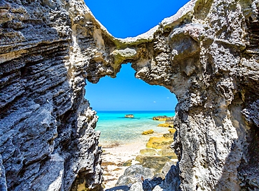
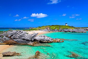
1358-164 - Blue and turquoise Sargasso Sea, glimpsed through an arch in the island's distinctive rocks, Bermuda, Atlantic, North America
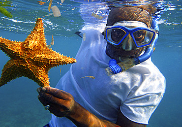
1350-6656 - Snorkeling in the beach, Corn Island, Caribbean Sea, Nicaragua, Central America, America. Local man with a starfish.
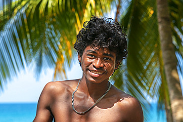
1350-6621 - Local people next to the beach, Corn Island, Caribbean Sea, Nicaragua, Central America, America.
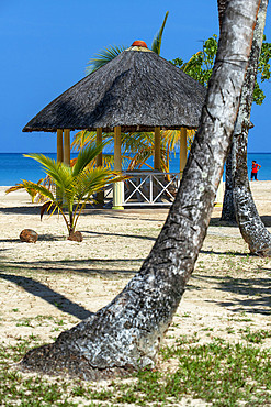
1350-6614 - Palms and beach with tourist huts, Corn Island, Caribbean Sea, Nicaragua, Central America, America. Arenas Beach Hotel
832-397650 - Clouds, sea from above and wing, Cuba, Caribbean island, Central America
1358-50 - Long Bay Beach, Cooper's Island, St. George's, Bermuda, Atlantic, Central America
1218-1583 - Hilltop view of Eastern Caribbean Sea and edges of St. Barths island, Saint Barthelemy, Caribbean, Central America
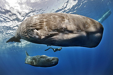
1350-6258 - A diver swims between a sperm whale (Physeter macrocephalus) and her cub in the waters of the Caribbean island of Dominica.
832-395529 - Close-up of head of atlantic nurse shark (Ginglymostoma cirratum), Caribbean, Curacao, South America
1178-41606 - Mixed Race woman standing on rocks on ocean beach
1178-40264 - Caucasian woman sitting on branch over tropical beach
1178-40262 - Aerial view of sailboats in Sanders Bay, Charlotte Amalie, Saint John, United States Virgin Islands
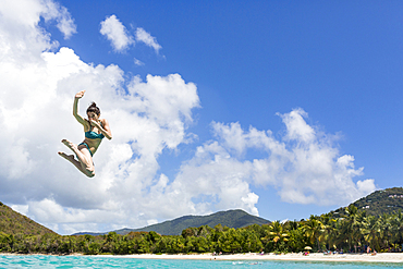
1178-40263 - Caucasian woman jumping into tropical ocean
832-394486 - Turquoise waters and whites sand on the world class Shoal Bay East beach, Anguilla, Caribbean, British Oversea territory, United Kingdom, Europe
832-394488 - Couple sitting on a white sand beach in the turquoise waters of the Exumas, Bahamas, Caribbean, Central America
832-394487 - Coconut on the world class Shoal Bay East beach, Anguilla, Caribbean, British Oversea territory, United Kingdom, Europe
832-394489 - Turquoise waters and a white sand beach, Exumas, Bahamas, Caribbean, Central America
1348-4431 - Saint Kits And Nevis, True Colour Satellite Image
1348-3429 - Satellite view of the Abaco Islands that lie in the northern Bahamas
1348-4464 - Orinoco Delta, Venezuela, True Colour Satellite Image. True colour satellite image of the Orinoco Delta in eastern Venezuela, The Orinoco river flows into the Atlantic ocean. At top is the island of Trinidad in the Caribbean sea. Composite image using LANDSAT 5 data.
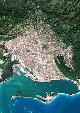
1348-3089 - Color satellite image of Port-au-Prince, capital city of Haiti. Image collected on March 25, 2017 by Sentinel-2 satellites.
1348-3425 - Satellite view of New Providence and Eleuthera Island, Bahamas. New Providence is the most populous island in the Bahamas and it houses the capital city of Nassau
1348-3088 - Color satellite image of Kingston, capital city of JaMayca. Image collected on December 16, 2017 by Sentinel-2 satellites.
1348-3424 - Satellite view of Andros Islands and New Providence, Bahamas. New Providence is the most populous island in the Bahamas and it houses the capital city of Nassau
1348-4430 - Saint Vincent And The Grenadines, True Colour Satellite Image
1348-4444 - Cozumel Island, Mexico, True Colour Satellite Image
1348-4518 - Guadeloupe, French Overseas, Caribbean, True Colour Satellite Image. Satellite view of Guadeloupe, France. This image was compiled from data acquired by LANDSAT 5 & 7 satellites.
1348-3427 - Satellite view of Eleuthera Island, Bahamas. This image was compiled from data acquired by Landsat satellites.
1348-4440 - Haiti And Dominican Republic, True Colour Satellite Image. Haiti and Dominican Republic, true colour satellite image. This image was compiled from data acquired by LANDSAT 5 & 7 satellites.
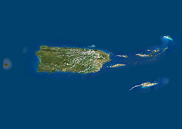
1348-4434 - Puerto Rico And The Virgin Islands, True Colour Satellite Image. Puerto Rico and the Virgin Islands. True colour satellite image showing Puerto Rico (west) and the Virgin islands (east). Composite image using data from LANDSAT 5 & 7satellites.
1348-4526 - Bahamas, True Colour Satellite Image. Satellite view of the Bahamas. This image was compiled from data acquired by LANDSAT 5 & 7 satellites.
1348-4432 - Saint Lucia, True Colour Satellite Image. Saint Lucia, true colour satellite image taken on 16 October 2000, by the LANDSAT 7 satellite.
1348-3428 - Satellite view of Andros, New Providence and Eleuthera Islands, Bahamas. New Providence is the most populous island in the Bahamas and it houses the capital city of Nassau. This image was compiled from data acquired by Landsat satellites.
1348-3426 - Satellite view of Grand Bahama, Bahamas. This image was compiled from data acquired by Landsat satellites.
1113-106068 - Green Seaurchin shot on fine sand beach. Shot on Caribbean island.
1113-106059 - A firepit set on a Caribbean beach. Shot in the fading light of day on an island near Antigua.
1350-3022 - Sunrise on the beach at Magdalena Grand Beach Resort on Tobago Island, Trinidad and Tobago.
1178-35987 - Caucasian girl swimming in infinity pool
1178-35979 - Caucasian girl swimming in infinity pool
1178-36508 - Caucasian woman standing at edge of dock
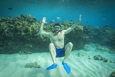
1178-36509 - Portrait of smiling man swimming underwater in ocean
1178-34814 - Caucasian woman laying on tropical beach
1113-105384 - Person on the beach at Rum Point, Grand Cayman Islands, Caribbean
1350-2160 - A sculpture with shells on a railing overlooking a tropical lagoon on the island of Fakarava in French Polynesia
1350-2159 - Tropical palm trees and lagoon of Fakarava, Tuamotus Archipelago French Polynesia, Tuamotu Islands, South Pacific. Summer vacation concept. Tropical coconut palm trees, coral gardens, beautiful turquoise clear water and blue sky with some white clouds. Fakarava, an atoll in the west of the Tuamotu group, French Polynesia
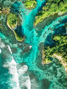
832-389123 - Aerial view, tropical mangrove islands in the Caribbean, Escudo de Veraguas, Panama, Central America
832-389125 - Aerial view, tropical mangrove islands in the Caribbean, Escudo de Veraguas, Panama, Central America
832-389145 - Single palm tree on rocks in water, Caribbean, Escudo de Veraguas, Panama, Central America
832-389132 - Aerial view, tropical island with palm trees and huts, San Blas Islands, Panama, Central America
832-389122 - Aerial view, tropical mangrove islands in the Caribbean, Escudo de Veraguas, Panama, Central America
832-389126 - Aerial view, tropical mangrove islands in the Caribbean, Escudo de Veraguas, Panama, Central America
832-389134 - Aerial view, tropical island with palm trees and huts, San Blas Islands, Panama, Central America
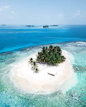
832-389133 - Aerial view, tropical island with palm trees, San Blas Islands, Panama, Central America
832-389128 - Aerial view, tropical mangrove islands in the Caribbean, Escudo de Veraguas, Panama, Central America
832-389137 - Aerial view, tropical island with palm trees, San Blas Islands
832-389130 - Aerial view, several tropical islands in the atoll, San Blas Islands, Panama, Central America
832-389127 - Aerial view, tropical mangrove islands in the Caribbean, Escudo de Veraguas, Panama, Central America
832-389124 - Aerial view, tropical mangrove islands in the Caribbean, Escudo de Veraguas, Panama, Central America
149-5115 - A woman walking in the surf at Playa Esmeralda, Carretera Guardalavarca, Cuba, West Indies, Central America
149-5800 - An aerial view of yachts in Marigot Bay, St. Lucia, Windward Islands, West Indies, Caribbean, Central America
149-5798 - Palm trees and surf at Bottom Bay on the east coast of Barbados, Windward Islands, West Indies, Caribbean, Central America
149-5793 - Palm tree shadows on the sand in Alleynes Bay on the west coast of Barbados, Windward Islands, West Indies, Caribbean, Central America
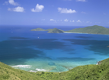
149-4626 - Aerial view of the North Sound, Virgin Gorda, British Virgin Islands, West Indies, Caribbean, Central America
149-5116 - A view through trees to the Playa Esmeralda, Carretera Guardalavaca, Cuba, West Indies, Central America
149-5805 - An aerial view of the town of Soufriere in St. Lucia, Windward Islands, West Indies, Caribbean, Central America
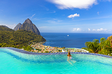
149-5802 - A view of the Pitons near Soufriere in St. Lucia, Windward Islands, West Indies, Caribbean, Central America
149-5801 - An aerial view of Marigot Bay on the east coast of St. Lucia, Windward Islands, West Indies, Caribbean, Central America
832-388002 - Blacktip shark (Carcharhinus limbatus), under the water surface, sunlight, Atlantic Ocean, Caribbean, Bahamas, Central America
832-388004 - Blacktip shark (Carcharhinus limbatus), blue water, Atlantic Ocean, Caribbean, Bahamas, Central America
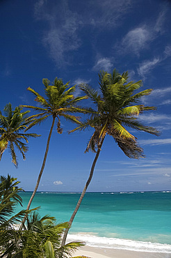
252-10259 - Palm trees and beach, Bottom Bay, Barbados, West Indies, Caribbean, Central America
832-386657 - Aerial view, tropical forested islands with mangroves in the sea, Escudo de Veraguas, Panama, Central America
