Recent searches
Loading...
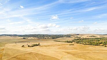
1384-720 - View of land and villages in barren interior of Fuerteventura, Canary Islands, Spain
1382-218 - The Cinta Costera or Malecon, a new road and promenade built on reclaimed land from the bay of Panama, Panama City, Republic of Panama,Central America
1382-217 - The Cinta Costera or Malecon, a new road and promenade built on reclaimed land from the bay of Panama, Panama City, Republic of Panama,Central America
1384-259 - Boats moored on wooden jetty leading to land on Lake Bacalar, Bacalar, Quintana Roo, Yucatan Peninsula, Mexico
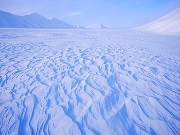
860-292227 - Glacier Rabotbreen in Sassen-Buensow Land NP. Winter landscape on the island Spitsbergen in the Svalbard archipelago. Arctic, Europe, Scandinavia, Norway, Svalbard
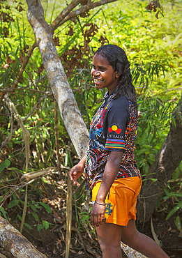
1111-294 - Yolngu Aboriginal woman in bush, East Arnhem Land, Australia
1111-293 - Aboriginal Yolngu elder stirs freshly dyed pandanus fronds to be used for basket making at Nyinyikay Homeland, East Arnhem Land.
1111-292 - Aboriginal in dance stance, Bukudal Homeland, The Outback, East Arnhem Land, Northern Territory, Australia.
1111-291 - Aboriginal songwriter, dancer, playing didgeridoo, Bukudal Homeland, East Arnhem Land
1111-290 - Aboriginal children caring for an orphaned baby kangaroo (joey), Nyinyikay Homeland, East Arnhem Land
1111-289 - A woman, Aboriginal elder weaving baskets, Nyinyikay Homeland, East Arnhem Land
1111-287 - Aboriginal Yolngu man with tribal clay paint used for Welcome to Country, at Nyinyikay Homeland, East Arnhem Land.
1111-288 - A woman, Aboriginal elder making stirring pandanus for weaving baskets, Nyinyikay Homeland, East Arnhem Land
1111-286 - Aboriginal Yolngu elder applying local plants to sand bite wounds, East Arnhem Land.
1111-284 - Portrait, Aboriginal man holding ancient red rock near Bawaka Homeland, East Arnhem Land.
1111-285 - Aboriginal Yolngu man with tribal paint, often used when performing cultural dances, Nyinyikay Homeland, East Arnhem Land.
1111-283 - Aboriginal, Yolngu elder making a spear for hunting, Bawaka Homeland, East Arnhem Land.
1111-281 - Aboriginal elder playing a freshly cut didgeridoo, Nyinyikay Homeland, East Arnhem Land.
1111-282 - Aboriginal Dreamtime - cultural story time at Nyinyikay Homeland, East Arnhem Land.
1111-279 - Aboriginal man, an artist with tribal clay paint used for Welcome to Country, at Nyinyikay Homeland, East Arnhem Land.
1111-278 - Aboriginal Yolngu man in billabong, Nyinyikay Homeland, East Arnhem Land.
1111-277 - Aboriginal man with a freshly cut didgeridoo, Nyinyikay Homeland, East Arnhem Land.
1111-275 - Portrait of a woman, an Aboriginal elder at Nyinyikay Homeland, East Arnhem Land.
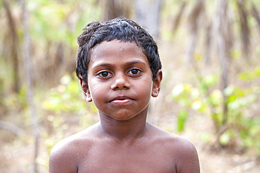
1111-274 - Young Aboriginal Yolngu boy in outback bush, Nyinyikay Homeland, East Arnhem Land.
1111-273 - Aboriginal Yolngu man with tribal paint, often used when performing cultural dances and welcome ceremonies, Nyinyikay Homeland, East Arnhem Land.
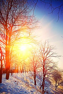
832-404442 - Beautiful wintry view on hill with leafless trees on sunrise instagram stile
844-32011 - View of farm land and mountains from near Ripailles, Mauritius, Indian Ocean, Africa
844-32004 - View of farm land and mountains from near Ripailles, Mauritius, Indian Ocean, Africa
844-31997 - View of farm land and mountains from near Ripailles, Mauritius, Indian Ocean, Africa
844-31996 - View of farm land and mountains from near Ripailles, Mauritius, Indian Ocean, Africa
860-292036 - Eurasian Jay (Garrulus glandarius) ona branch, Boca del Huergano, Province of Leon, Castilla y Leon, Spain
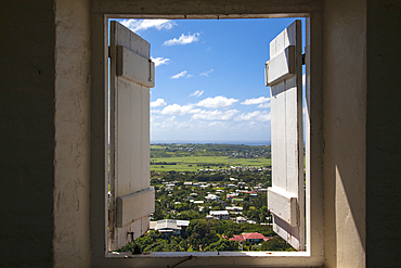
1116-52826 - View through window with shutters from the Gun Hill Signal Station in Barbados, Bridgetown, Barbados, Caribbean
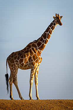
1116-52801 - Reticulated giraffe (Giraffa camelopardalis reticulata) stands on dam turning head towards the camera, Segera, Laikipia, Kenya
1116-52802 - Reticulated giraffe (Giraffa camelopardalis reticulata) stands on dam watching camera, Segera, Laikipia, Kenya
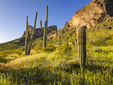
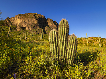
1112-8617 - Saguaro cactus (Carnegiea gigantea) dot the land surrounding Picacho Peak, Picacho Peak State Park, Arizona, United States of America, North America
1112-8614 - Saguaro cactus (Carnegiea gigantea) dot the land surrounding Picacho Peak, Picacho Peak State Park, Arizona, United States of America, North America
832-404005 - Via ferrata over the Riffelscharte, hiker in the mountains, view of Eibsee lake and Werdenfelser Land, Wetterstein Mountains, Garmisch-Patenkirchen, Bavaria, Germany, Europe
832-404004 - View from the summit of the Waxenstein over the rocky and narrow ridge of the Waxenstein ridge to the Eibsee lake and Hoellental, cloudy rocky mountain landscape, Wetterstein Mountains, Garmisch-Partenkirchen, Werdenfelser Land, Upper Bavaria, Bavaria, Germany, Europe
832-404003 - Climbers on their way through the Hoellentalklamm, narrow rock gorge with mountain stream, Wetterstein Mountains, Garmisch-Partenkirchen, Werdenfelser Land, Upper Bavaria, Bavaria, Germany, Europe
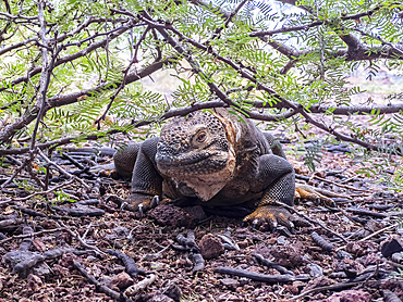
1112-8384 - Close-up of foot of an adult Galapagos land iguana (Conolophus subcristatus), foot detail, on North Seymour Island, Galapagos Islands, UNESCO World Heritage Site, Ecuador, South America
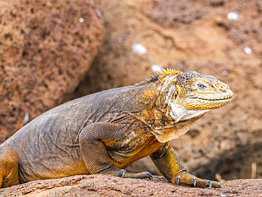
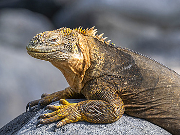
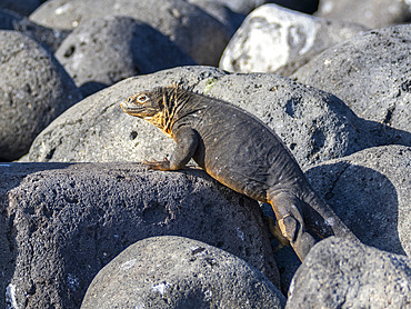
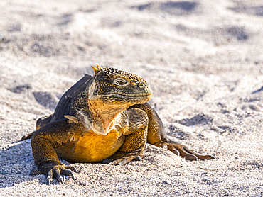
1112-8382 - An adult Galapagos land iguana (Conolophus subcristatus), basking on North Seymour Island, Galapagos Islands, UNESCO World Heritage Site, Ecuador, South America
1112-8380 - An adult Galapagos land iguana (Conolophus subcristatus), basking on North Seymour Island, Galapagos Islands, UNESCO World Heritage Site, Ecuador, South America
1112-8372 - An adult Galapagos land iguana (Conolophus subcristatus), basking on North Seymour Island, Galapagos Islands, UNESCO World Heritage Site, Ecuador, South America
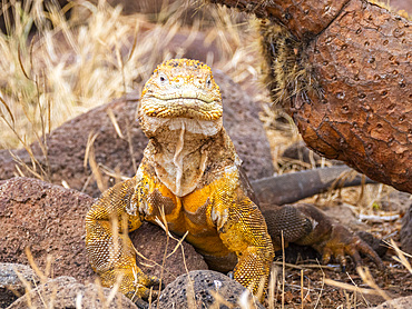
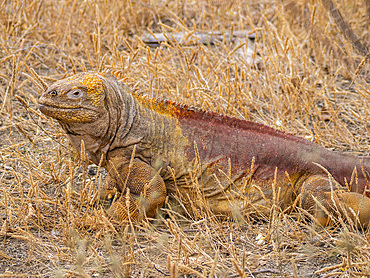
1112-8363 - An adult Galapagos land iguana (Conolophus subcristatus), basking in Urbina Bay, Galapagos Islands, UNESCO World Heritage Site, Ecuador, South America
1112-8362 - An adult Galapagos land iguana (Conolophus subcristatus), basking on North Seymour Island, Galapagos Islands, UNESCO World Heritage Site, Ecuador, South America
1112-8355 - An adult Galapagos land iguana (Conolophus subcristatus), basking on North Seymour Island, Galapagos Islands, UNESCO World Heritage Site, Ecuador, South America
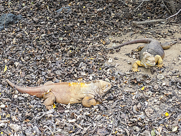
1112-8353 - A pair of adult Galapagos land iguanas (Conolophus subcristatus), basking in Urbina Bay, Galapagos Islands, UNESCO World Heritage Site, Ecuador, South America
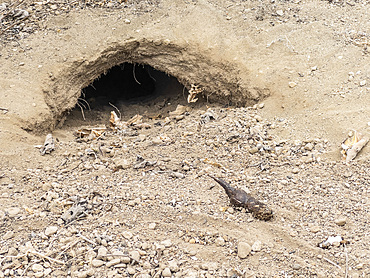
1112-8351 - An adult Galapagos land iguana (Conolophus subcristatus) burrow in Urbina Bay, Galapagos Islands, UNESCO World Heritage Site, Ecuador, South America
1112-8350 - An adult Galapagos land iguana (Conolophus subcristatus), basking on North Seymour Island, Galapagos Islands, UNESCO World Heritage Site, Ecuador, South America
1112-8347 - An adult Galapagos land iguana (Conolophus subcristatus), basking on North Seymour Island, Galapagos Islands, UNESCO World Heritage Site, Ecuador, South America
1112-8346 - An adult Galapagos land iguana (Conolophus subcristatus), basking in Urbina Bay, Galapagos Islands, UNESCO World Heritage Site, Ecuador, South America
832-403987 - Monument by Karl Billerhart in Oberndorf near Salzburg with view to Laufen an der Salzach, collegiate church, Rupertiwinkel, Upper Bavaria, Germany, Land Salzburg Austria, Europe
832-403986 - Monument by Karl Billerhart in Oberndorf near Salzburg with view to Laufen an der Salzach, collegiate church, Rupertiwinkel, Upper Bavaria, Germany, Land Salzburg Austria, Europe
832-403506 - Drone photo, view to Sparber Rinnkogel and Rettenkogel, Osterhorngruppe, Salzkammergut, Land Salzburg, Austria, Europe
832-403505 - Sankt Wolfgang with Schafberg, Wolfgangsee, Salzkammergut, Land Salzburg, Austria, Europe
832-403504 - View from the summit of the Bleckwand to the Wolfgangsee, Osterhorngruppe, Salzkammergut, Land Salzburg, Austria, Europe
832-403502 - View from the Niedergadenalm into the Weissenbachtal with Rinnkogel, Osterhorngruppe, Salzkammergut, Land Salzburg, Austria, Europe
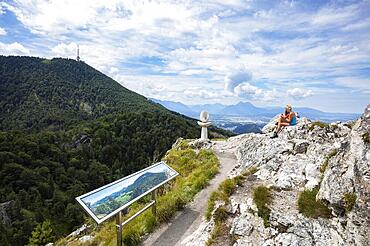
832-403495 - View from the summit of Nockstein to Gaisberg, Osterhorngruppe, Flachgau, Land Salzburg, Austria, Europe
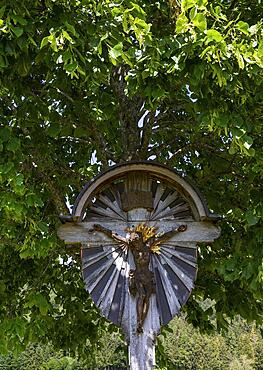
832-403494 - Linden tree with wayside cross, Osterhorn group, Koppl, Flachgau, Land Salzburg, Austria, Europe
832-403484 - Drone shot, Fuschl Castle, Fuschlsee, Fuschl am See, Salzkammergut, Land Salzburg, Austria, Europe
832-403485 - Drone shot, Fuschl Castle, Fuschlsee, Fuschl am See, Salzkammergut, Land Salzburg, Austria, Europe
832-403483 - Drone shot, Fuschl Castle, Fuschlsee, Fuschl am See, Salzkammergut, Land Salzburg, Austria, Europe
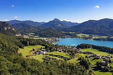
832-403481 - Drone shot, Fuschlsee, Fuschl am See with golf course, Salzkammergut, Land Salzburg, Austria, Europe
832-403482 - Drone shot, Fuschlsee, Fuschl am See, Salzkammergut, Land Salzburg, Austria, Europe
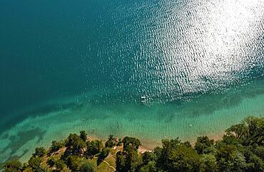
832-403480 - Drone shot, from above, bathing beach with boats at Fuschlsee, Fuschl am See, Salzkammergut, Land Salzburg, Austria, Europe
832-403479 - Drone shot, panorama shot, Wolfgangsee with Schafberg and Zwoelferhorn, Sankt Gilgen, Salzkammergut, Land Salzburg, Austria, Europe
1112-8106 - Local guide holding an adult coconut crab (Birgus latro), on land on Gam Island, Raja Ampat, Indonesia, Southeast Asia, Asia
1112-8097 - An adult coconut crab (Birgus latro), on land on Gam Island, Raja Ampat, Indonesia, Southeast Asia, Asia
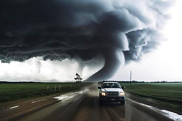
832-402298 - A tornado moves with great destructive force over agricultural land, car on road, natural disaster, weather phenomenon, severe weather, AI generated
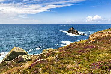
832-402246 - Coastline, heather blossom on the Atlantic coast, view on the South West Coast Path, blue sky in summer, headland Land's End, Lands End, Penzance, Penwith Peninsula, Cornwall, England, Great Britain
832-402237 - House with sign, The First and Last House, Lands End, Penzance, Penwith Peninsula, Cornwall, England, United Kingdom, Europe
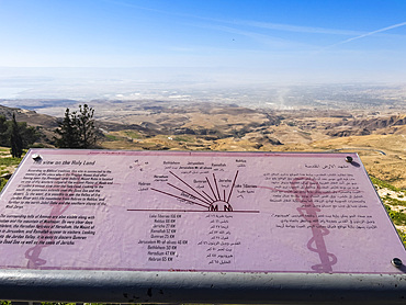
1112-7997 - Mount Nebo, mentioned in the Bible as the place where Moses was granted a view of the Promised Land before his death, Jordan, Middle East
1112-7995 - Mount Nebo, mentioned in the Bible as the place where Moses was granted a view of the Promised Land before his death, Jordan, Middle East
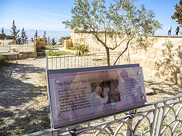
1112-7990 - Olive tree and sign commemorating the visit of Pope John Paul II on 20 March 2000 to the summit of Mount Nebo during his pilgrimage to the Holy Land, Jordan, Middle East
1112-7984 - Mount Nebo, mentioned in the Bible as the place where Moses was granted a view of the Promised Land before his death, Jordan, Middle East
832-401936 - Conquerors of Virgin Land Monument, Kostanay, northern Kazakhstan
832-401935 - Conquerors of Virgin Land Monument, Kostanay, northern Kazakhstan
832-401934 - Conquerors of Virgin Land Monument, Kostanay, northern Kazakhstan
832-401933 - Conquerors of Virgin Land Monument, Kostanay, northern Kazakhstan
832-401932 - Conquerors of Virgin Land Monument, Kostanay, northern Kazakhstan
832-401931 - Conquerors of Virgin Land Monument, Kostanay, northern Kazakhstan
832-401341 - Silhouette of a photographer at sunset, Trattberg, Bad Vigaun, Land Salzburg, Austria, Europe
832-401340 - Couple kissing next to summit cross at sunset, silhouette, reflection in water, Trattberg, Bad Vigaun, Land Salzburg, Austria, Europe
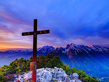
832-401339 - Iceberg summit cross and red clouds at dawn, Berchtesgaden National Park, Ramsau, Berchtesgadener Land, Upper Bavaria, Bavaria, Germany, Europe
832-401338 - Iceberg summit cross at sunrise, Watzmann and Hochkalter with snow in the background, Berchtesgaden National Park, Ramsau, Berchtesgadener Land, Upper Bavaria, Bavaria, Germany, Europe
1112-7753 - A fisherman in a small boat along the upper Nile River, amongst some of the most verdant land along the river, Egypt, North Africa, Africa
1112-7751 - Fishermen in a small boat on the upper Nile River, amongst some of the most verdant land along the river, Egypt, North Africa, Africa
1112-7749 - A view of the shoreline along the upper Nile River, amongst some of the most verdant land along the river, Egypt, North Africa, Africa
1112-7718 - A view of the shoreline along the upper Nile River, amongst some of the most verdant land along the river, Egypt, North Africa, Africa
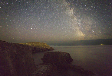
1202-629 - An autumn view of the Milky Way over the Atlantic Ocean, seen from the cliffs of Land's End, the most southwesterly point of Great Britain, Cornwall, England, United Kingdom, Europe
1202-622 - Atlantic shoreline at sunset, Whitesand Bay, Sennen Cove, near Land's End, in the far west of Cornwall, England, United Kingdom, Europe
1202-601 - An autumn view of the Milky Way over the Atlantic Ocean, seen from the cliffs of Land's End, the most southwesterly point of Great Britain, Cornwall, England, United Kingdom, Europe
1202-600 - An autumn view of the Milky Way over the Atlantic Ocean, seen from the cliffs of Land's End, the most southwesterly point of Great Britain, Cornwall, England, United Kingdom, Europe
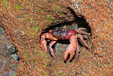
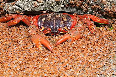
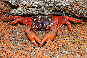
759-13307 - Juvenile Crabs returning on Land, Gecarcoidea natalis, Christmas Island, Australia
759-13287 - Juvenile Crabs returning on Land, Gecarcoidea natalis, Christmas Island, Australia
759-13285 - Juvenile Crabs returning on Land, Gecarcoidea natalis, Christmas Island, Australia
759-13286 - Juvenile Crabs returning on Land, Gecarcoidea natalis, Christmas Island, Australia
759-13284 - Juvenile Crabs returning on Land, Gecarcoidea natalis, Christmas Island, Australia
759-13283 - Juvenile Crabs returning on Land, Gecarcoidea natalis, Christmas Island, Australia


