Recent searches
Loading...
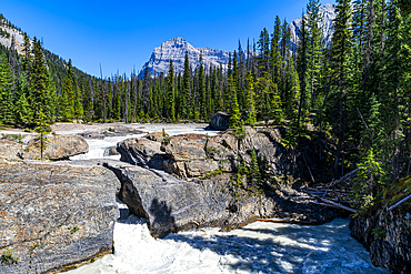
1184-9201 - Natural Bridge Lower Falls, Yoho National Park, UNESCO World Heritage Site, British Columbia, Canada, North America
1184-9200 - Natural Bridge Lower Falls, Yoho National Park, UNESCO World Heritage Site, British Columbia, Canada, North America
1184-9198 - Natural Bridge Lower Falls, Yoho National Park, UNESCO World Heritage Site, British Columbia, Canada, North America
1184-9195 - Natural Bridge Lower Falls, Yoho National Park, UNESCO World Heritage Site, British Columbia, Canada, North America
1184-9194 - Natural Bridge Lower Falls, Yoho National Park, UNESCO World Heritage Site, British Columbia, Canada, North America
1184-9193 - Natural Bridge Lower Falls, Yoho National Park, UNESCO World Heritage Site, British Columbia, Canada, North America
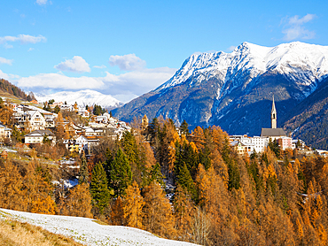
1242-547 - The village of Sent and autumn color in the Lower Engadine Valley, Sent, Graubunden, Switzerland, Europe
1116-52764 - The lower part of Sabbaday falls and its rocky environment., Conway, New Hampshire, USA.
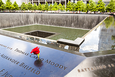
1366-886 - Manhattan, New York City, New York, USA. November 3, 2021. White rose at the 9/11 Memorial in Lower Manhattan.
1366-884 - Manhattan, New York City, New York, USA. November 3, 2021. November 3, 2021. The One World Trade Center tower in Lower Manhattan.
832-398354 - Mountain cross, view of the Lower Valais with autumn forest, Alpage de Mase, Louere, Valais, Switzerland, Europe
1112-7325 - A view from the lower circuit at Iguazú Falls, Misiones Province, Argentina.
1112-7321 - A view from the lower circuit at Iguazú Falls, Misiones Province, Argentina.
1112-7322 - A view from the lower circuit at Iguazú Falls, Misiones Province, Argentina.
1112-7320 - A view from the lower circuit at Iguazú Falls, Misiones Province, Argentina.
1112-7319 - A view from the lower circuit at Iguazú Falls, Misiones Province, Argentina.
1112-7318 - A view from the lower circuit at Iguazú Falls, Misiones Province, Argentina.
1112-7317 - A view from the lower circuit at Iguazú Falls, Misiones Province, Argentina.
1112-7315 - A view from the lower circuit at Iguazú Falls, Misiones Province, Argentina.
1112-7312 - A view of the boat ride from the lower circuit at Iguazú Falls, Misiones Province, Argentina.
1112-7308 - A view from the lower circuit at Iguazú Falls, Misiones Province, Argentina.
1112-7306 - A view from the lower circuit at Iguazú Falls, Misiones Province, Argentina.
1112-7305 - A view from the lower circuit at Iguazú Falls, Misiones Province, Argentina.
1112-7303 - Tourists on a platform on the lower circuit at Iguazú Falls, Misiones Province, Argentina.
1112-7302 - Tourists on a platform on the lower circuit at Iguazú Falls, Misiones Province, Argentina.
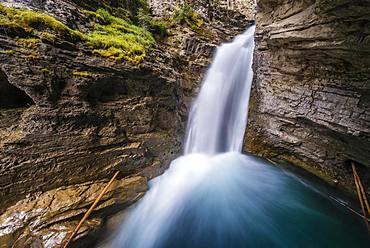
832-397759 - Waterfall, Lower Falls, Mountain River in a Gorge, Johnston Creek in Johnston Canyon, Bow Valley, Banff National Park, Rocky Mountains, Alberta, Canada, North America
832-397758 - Waterfall, Lower Falls, Mountain River in a Gorge, Johnston Creek in Johnston Canyon, Bow Valley, Banff National Park, Rocky Mountains, Alberta, Canada, North America
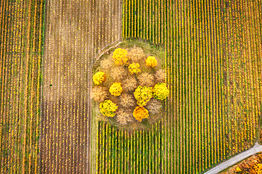
1113-107632 - The Brand vineyard in autumn dress, Volkach, Kitzingen, Lower Franconia, Franconia, Bavaria, Germany, Europe
1350-4952 - One of the two waterfalls at National September 11 Memorial, World Trade Center, Manhattan, New York City, New York, USA
1350-4819 - One of the two waterfalls at National September 11 Memorial, World Trade Center, Manhattan, New York City, New York, USA
832-394870 - Drone image, curve in autumnal forest, Roter Berg, L485, between Diekholzen and Sibbesse, Hildesheim district, Lower Saxony, Germany, Europe
832-394871 - Drone shot, curve in autumnal forest, Roter Berg, L485, between Diekholzen and Sibbesse, in the background Diekholzen, district of Hildesheim, Lower Saxony, Germany, Europe
1310-319 - Lower Aysgarth Falls on the River Ure, near Leyburn, Wensleydale, Yorkshire Dales National Park, North Yorkshire, England, United Kingdom, Europe
1310-320 - Lower Aysgarth Falls on the River Ure, near Leyburn, Wensleydale, Yorkshire Dales National Park, North Yorkshire, England, United Kingdom, Europe
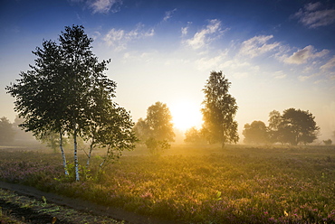
832-393770 - Autumn morning mist at sunrise with flowering Common Heather (Calluna vulgaris), heather blossom, Osterheide, Schneverdingen, Lueneburger Heide nature Park, Lower Saxony, Germany, Europe
1160-4773 - Lower Waterfall, Horschbach Gorge, Murrhardt, Swabian Forest, Baden-Wurttemberg, Germany, Europe
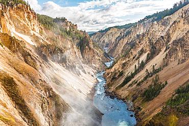
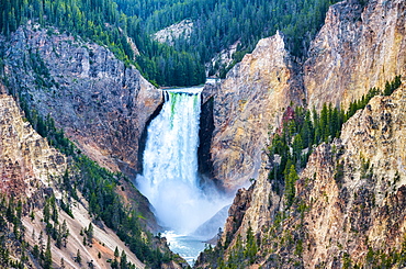
1112-6124 - The lower Yellowstone Falls in the Yellowstone River, Yellowstone National Park, UNESCO World Heritage Site, Wyoming, United States of America, North America
1112-6123 - The lower Yellowstone Falls in the Yellowstone River, Yellowstone National Park, UNESCO World Heritage Site, Wyoming, United States of America, North America
1112-6125 - The lower Yellowstone Falls in the Yellowstone River, Yellowstone National Park, UNESCO World Heritage Site, Wyoming, United States of America, North America
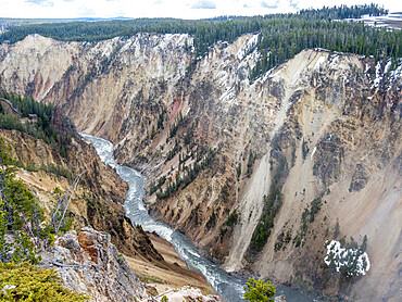
1350-3015 - Lower Falls from Lookout Point, Grand Canyon of the Yellowstone River, Yellowstone National Park, Wyoming.
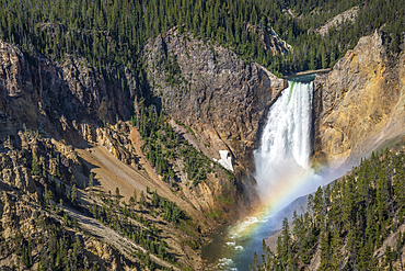
1350-3078 - Lower Falls of the Yellowstone River, with rainbow at base of the falls, from Artists Point, Yellowstone National Park, Wyoming.
1350-3079 - Lower Falls of the Yellowstone River, with rainbow at base of the falls, from Artists Point, Yellowstone National Park, Wyoming.
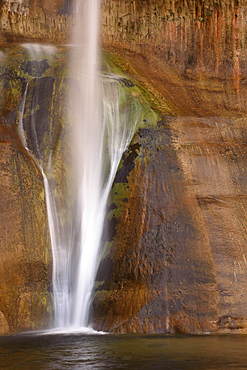
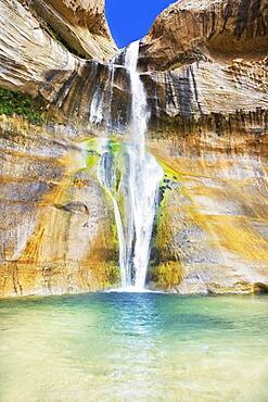
1350-3099 - Lower Calf Creek Falls drops down a sandstone rock face in Grand Staircase - Escalante National Monument, Utah.
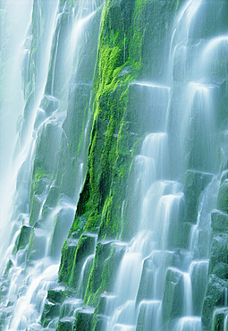
1350-3364 - Lower Proxy Falls, Three Sisters Wilderness, Cascade Mountains, Oregon.
832-391841 - Autumn fruit trees in the fog, Lower Saxony, Germany, Europe
718-2680 - Lower Calf Creek Falls, Grand Staircase Escalante National Monument, Utah, United States of America, North America
1335-153 - Lower Falls of the Grand Canyon framed in trees, Yellowstone National Park, UNESCO World Heritage Site, Wyoming, United States of America, North America
1335-155 - Stairs leading to Lower Falls of the Grand Canyon, Yellowstone National Park, UNESCO World Heritage Site, Wyoming, United States of America, North America
832-388850 - Migrating cranes (grus grus) in autumn in front of setting sun, Goldenstedter Moor, bird migration, Oldenburger Muensterland, Lower Saxony, Germany, Europe
762-510 - Fall colours around Lower Cramer Lake, Sawtooth Mountains, Sawtooth Wilderness, Sawtooth National Recreation Area, Rocky Mountains, Idaho, United States of America, North America
832-384320 - Yellowstone River flows through Gorge, Grand Canyon of the Yellowstone, View from North Rim, Brink of the Lower Falls, Yellowstone National Park, Wyoming, USA, North America
832-384339 - Waterfall, Lower Falls, Mountain River in a Gorge, Johnston Creek in Johnston Canyon, Bow Valley, Banff National Park, Rocky Mountains, Alberta, Canada, North America
832-384319 - Hiker at Red Rock Viewpoint, Lower Falls, Waterfall in a gorge, Grand Canyon of the Yellowstone River, View from North Rim, Yellowstone National Park, Wyoming, USA, North America
832-387059 - Pilgrimage Church of Maria im Weingarten, Volkach, Mainfranken, Lower Franconia, Franconia, Bavaria, Germany, Europe
1318-217 - Lower Yellowstone Falls, Yellowstone National Park, Wyoming, United States of America, North America
1318-216 - Lower Yellowstone Falls, Yellowstone National Park, Wyoming, United States of America, North America
746-89476 - Lower Falls of Yellowstone Grand Canyon, Wyoming.
832-383599 - Steam train, Mariazell Railway over the Saugraben viaduct, Annaberg, Mostviertel, Lower Austria, Austria, Europe
832-383105 - Hikers standing on a dyke, in dense autumn fog, Spiekeroog, East Frisian Islands, East Frisia, Lower Saxony, Germany, Europe
1309-17 - Lower Aysgarth Falls on the River Ure, autumn, Wensleydale, Yorkshire Dales National Park, North Yorkshire, England, United Kingdom, Europe
1263-144 - Autumn (fall) colours in Lower Manhattan's Hudson River Park looking towards One World Trade Centre, New York, United States of America, North America
1298-72 - Autumn at lower Wainwath Falls, Swaledale, Yorkshire Dales, North Yorkshire, England, United Kingdom, Europe
801-2423 - Lower Mesa Falls, near Island Park, Idaho, United States of America, North America
1112-3538 - Lower Calf Creek Falls, Grand Staircase-Escalante National Monument, Utah, United States of America, North America
1112-3539 - Navajo sandstone in Lower Calf Creek Falls Trail, Grand Staircase-Escalante National Monument, Utah, United States of America, North America
1112-3537 - Hikers at Lower Calf Creek Falls, Grand Staircase-Escalante National Monument, Utah, United States of America, North America
1112-3536 - Navajo sandstone in Lower Calf Creek Falls Trail, Grand Staircase-Escalante National Monument, Utah, United States of America, North America
1112-3534 - Native Pueblo rock art, Lower Calf Creek Falls Trail, Grand Staircase-Escalante National Monument, Utah, United States of America, North America
1112-3535 - Lower Calf Creek Falls, Grand Staircase-Escalante National Monument, Utah, United States of America, North America
1113-101745 - Autumnal vines, vineyards, Baden near Vienna, Southern Wiener Becken, Wienerwald, Lower Austria, Austria
764-5463 - Lower Lewis River Falls detail, Gifford Pinchot National Forest, Washington, United States of America, North America
796-2297 - Lower Falls, Yellowstone National Park, UNESCO World Heritage Site, Wyoming, United States of America, North America
796-2298 - Lower Falls, Yellowstone National Park, UNESCO World Heritage Site, Wyoming, United States of America, North America
799-3088 - Lower Yosemite Falls in Yosemite Valley, UNESCO World Heritage Site, California, United States of America, North America
857-91530 - A mountain rescue technician is exiting a helicopter high above the ground. A winchman is ready to lower him down to the glacier where a climber is injured in a fall.
1112-3058 - A view from the lower trail, Iguazu Falls National Park, UNESCO World Heritage Site, Misiones, Argentina, South America
1112-3059 - A view from the lower trail, Iguazu Falls National Park, UNESCO World Heritage Site, Misiones, Argentina, South America
762-759 - Lower Falls, Yellowstone River, Yellowstone National Park, UNESCO World Heritage Site, Wyoming, United States of America, North America
762-760 - Artists Point looking towards Lower Falls, Grand Canyon, Yellowstone National Park, UNESCO World Heritage Site, Wyoming, United States of America, North America
762-761 - Grand Canyon of the Yellowstone River from Brink of the Lower Falls, Yellowstone National Park, UNESCO World Heritage Site, Wyoming, United States of America, North America
799-3016 - Lower Yosemite Falls through the conifer trees of Yosemite Valley, UNESCO World Heritage Site, California, United States of America, North America
857-90592 - Corey Rich photographs Mitch Underhill on a climb on Lower Phantom Spire, South Lake Tahoe, CA, United States of America
857-90595 - Corey Rich photographs Mitch Underhill on a climb on Lower Phantom Spire, South Lake Tahoe, CA, United States of America
857-90591 - Corey Rich photographs Mitch Underhill on a climb on Lower Phantom Spire, South Lake Tahoe, CA, United States of America
857-90598 - Corey Rich photographs Mitch Underhill on a climb on Lower Phantom Spire, South Lake Tahoe, CA, United States of America
857-90599 - Corey Rich photographs Mitch Underhill on a climb on Lower Phantom Spire, South Lake Tahoe, CA, United States of America
857-90596 - Corey Rich photographs Mitch Underhill on a climb on Lower Phantom Spire, South Lake Tahoe, CA, United States of America
857-89709 - Hikers setup camp on a beach along the Colorado River near the plumeting 180-foot Deer Creek Falls in the Grand Canyon outside of Fredonia, Arizona November 2011. The 21.4-mile loop starts at the Bill Hall trailhead on the North Rim and descends 2000-feet in 2.5-miles through Coconino Sandstone to the level Esplanada then descends further into the lower canyon through a break in the 400-foot-tall Redwall to access Surprise Valley. Hikers connect Thunder River and Tapeats Creek to a route along the Colorado River and climb out Deer Creek.
857-89713 - Female hiker cooks dinner on a cliff-pinched patio above camp and the Colorado River near Deer Creek Falls in the Grand Canyon outside of Fredonia, Arizona November 2011. The 21.4-mile loop starts at the Bill Hall trailhead on the North Rim and descends 2000-feet in 2.5-miles through Coconino Sandstone to the level Esplanada then descends further into the lower canyon through a break in the 400-foot-tall Redwall to access Surprise Valley. Hikers connect Thunder River and Tapeats Creek to a route along the Colorado River and climb out Deer Creek.
857-89710 - Hikers cook dinner on a cliff-pinched patio above camp and the Colorado River near Deer Creek Falls in the Grand Canyon outside of Fredonia, Arizona November 2011. The 21.4-mile loop starts at the Bill Hall trailhead on the North Rim and descends 2000-feet in 2.5-miles through Coconino Sandstone to the level Esplanada then descends further into the lower canyon through a break in the 400-foot-tall Redwall to access Surprise Valley. Hikers connect Thunder River and Tapeats Creek to a route along the Colorado River and climb out Deer Creek.
857-89708 - Hikers swim in the pool below 180-foot Deer Creek Falls in the Grand Canyon outside of Fredonia, Arizona November 2011. The 21.4-mile loop starts at the Bill Hall trailhead on the North Rim and descends 2000-feet in 2.5-miles through Coconino Sandstone to the level Esplanada then descends further into the lower canyon through a break in the 400-foot-tall Redwall to access Surprise Valley. Hikers connect Thunder River and Tapeats Creek to a route along the Colorado River and climb out Deer Creek.
857-89712 - Male hiker filters water on a cliff-pinched patio near Deer Creek Falls in the Grand Canyon outside of Fredonia, Arizona November 2011. The 21.4-mile loop starts at the Bill Hall trailhead on the North Rim and descends 2000-feet in 2.5-miles through Coconino Sandstone to the level Esplanada then descends further into the lower canyon through a break in the 400-foot-tall Redwall to access Surprise Valley. Hikers connect Thunder River and Tapeats Creek to a route along the Colorado River and climb out Deer Creek.
857-89711 - Male hiker filters water on a cliff-pinched patio near Deer Creek Falls in the Grand Canyon outside of Fredonia, Arizona November 2011. The 21.4-mile loop starts at the Bill Hall trailhead on the North Rim and descends 2000-feet in 2.5-miles through Coconino Sandstone to the level Esplanada then descends further into the lower canyon through a break in the 400-foot-tall Redwall to access Surprise Valley. Hikers connect Thunder River and Tapeats Creek to a route along the Colorado River and climb out Deer Creek.
1178-23325 - Lower North Falls, Lower North Falls, Oregon
1178-12566 - USA, Oregon, Marion County, View of Lower South Falls
1178-9608 - Lower Falls of the Yellowstone, Yellowstone National Park, Wyoming
1178-7629 - USA, Oregon, Silver Falls State Park, Lower South Falls
1178-7630 - USA, Oregon, Silver Falls State Park, Lower South Falls

