Recent searches
Loading...
832-400548 - Climbers at the top of Snohetta Mountain, with snow, Dovrefjell National Park, Oppdal, Norway, Europe
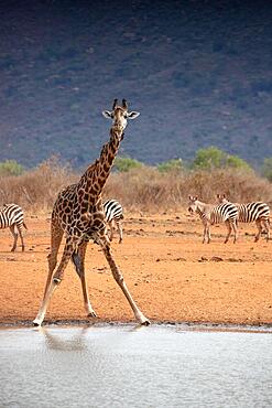
832-400447 - Single giraffe, Masai giraffe (Giraffa tippelskirchi) (Artiodactyla), at the waterhole in the barren landscape of the savannah. Photograph of a drinking giraffe and the red soil of Tsavo National Park in Kenya
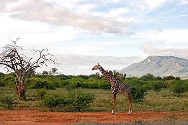
832-400448 - Single giraffe, Masai giraffe (Giraffa tippelskirchi) (Artiodactyla), in the vast landscape of the savannah. Landscape photograph with a dead tree, with a mountain in the background in Tsavo East National Park, Kenya, Africa
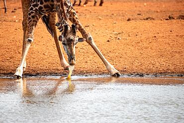
832-400446 - Single giraffe, Masai giraffe (Giraffa tippelskirchi) (Artiodactyla), at the waterhole in the barren landscape of the savannah. Photograph of a drinking giraffe and the red soil of Tsavo National Park in Kenya
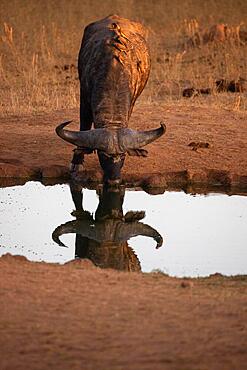
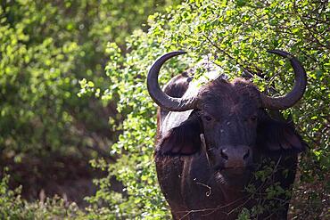
832-400444 - Buffalo, bubalus syncerus, water buffalo (bubalus arnee) in focus. portrait in the morning in front of a waterhole with reflection in the savannah of tsavo national park, Kenya, Africa
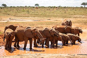
832-400445 - The famous red elephants in the savannah of Tsavo National Park, Kenya, Africa
832-400443 - Buffalo, bubalus syncerus, water buffalo (bubalus arnee) in the savannah bushes of tsavo national park, Kenya, Africa
832-400442 - Beautiful wide landscape up to the horizomt and rainbows in the savannah of Taita Hills Wildlife Sanctuary, African Ostrich Tsavo East, Kenya, Africa
832-400136 - African Elephant (Loxodonta africana) bullfight, in the African desert. 2 male animals are fighting with each other. Full body side view with dust clouds. Etosha National Park, Namibia, Africa
832-400135 - Nile crocodile (Crocodylus niloticus) closeup of the reptile's head and face. Yellow eye. Chobe National Park, Botswana, Africa
832-400134 - Nile crocodile (Crocodylus niloticus) closeup of the reptile's back and tail. Yellow eye. Chobe National Park, Botswana, Africa
832-399579 - View over Emsworthy Mire from a drone, Haytor Rocks, Dartmoor National Park, Devon, England, UK
832-399882 - Coastal brown bear (Ursus Arctos middendorfi), grizzly bear lifting rock to look for shells, Katmai National Park, Alaska, USA, North America
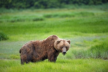
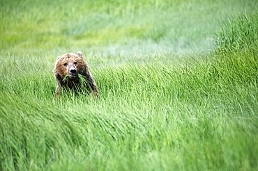
832-399883 - Coastal brown bear (Ursus Arctos middendorfi), grizzly bear eating sedge, Katmai National Park, Alaska, USA, North America
832-399885 - Coastal brown bear (Ursus Arctos middendorfi) Grizzly bear eating sedge, Katmai National Park, Alaska, USA, North America
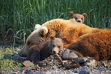
832-399884 - Mother bear with two cubs, coastal brown bear (Ursus Arctos middendorfi), Kukak Bay, Katmai National Park, Alaska, USA, North America
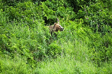
832-399886 - Grizzly bear in thicket takes scent, Katmai National Park, Alaska, USA, North America
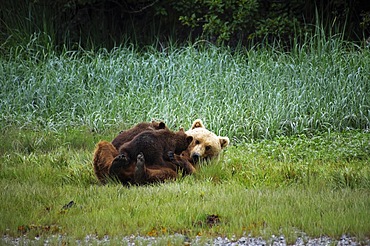
832-399887 - Mother bear suckling her two cubs, grizzly bear, coastal brown bear (Ursus Arctos middendorfi), Kukak Bay, Katmai National Park, AlaskaGrizzly bear suckling her two cubs, Katmai National Park, Alaska, USA, North America
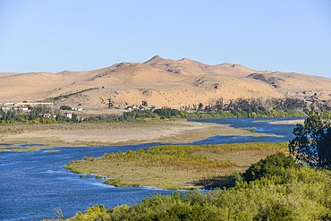
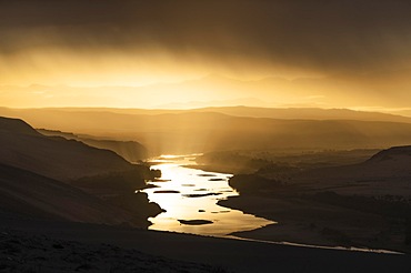
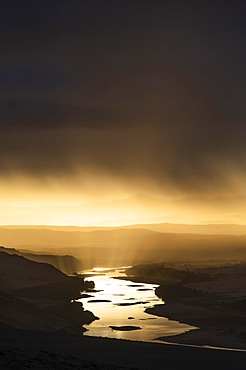
832-399896 - Orange River, also known as the Orange River, on the border between Namibia and South Africa, sand dunes behind, Oranjemund, Sperrgebiet National Park, also known as Tsau ǁKhaeb National Park, Namibia, Africa
832-399898 - Thunderstorm over the Orange River, also known as the Orange River, on the border between Namibia and South Africa, Oranjemund, Sperrgebiet National Park, also known as Tsau ǁKhaeb National Park, Namibia, Africa
832-399897 - Thunderstorm over the Orange River, also known as the Orange River, on the border between Namibia and South Africa, Oranjemund, Sperrgebiet National Park, also known as Tsau ǁKhaeb National Park, Namibia, Africa
832-399899 - Off-road vehicle in sand dunes above the Orange River, also Oranjemund, Sperrgebiet National Park, also Tsau ǁKhaeb National Park, Namibia, Africa
832-399909 - Tourist with equipment on a mountain trail in the Alps. Dolomites, Italy, Dolomites, Italy, Europe
832-399910 - A thirsty tourist drinks water through a tube against the backdrop of an amazing panorama of the mountains in the Dolomites. Dolomites, Italy, Dolomites, Italy, Europe
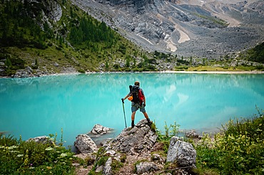
832-399917 - Tourist posing for a photo against the background of the beautiful Lago di Sorapis lake in the Italian Dolomites, Dolomites, Italy, Europe
832-399916 - Tourist feeds the birds (pyrrhocorax graculus) at the closed shelter in the Dolomites. Dolomites, Italy, Dolomites, Italy, Europe
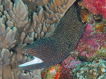
832-399955 - Turkey moray (Gymnothorax meleagris) with open mouth, Sodwana Bay National Park dive site, Maputaland Marine Reserve, KwaZulu Natal, South Africa, Africa
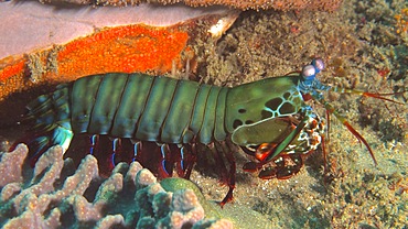
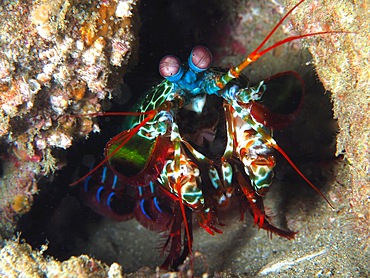
832-399956 - Peacock mantis shrimp (Odontodactylus scyllarus), Sodwana Bay National Park dive site, Maputaland Marine Reserve, KwaZulu Natal, South Africa, Africa
832-399957 - Peacock mantis shrimp (Odontodactylus scyllarus), Sodwana Bay National Park dive site, Maputaland Marine Reserve, KwaZulu Natal, South Africa, Africa
832-400077 - Giraffes (Giraffa camelopardalis), three young animals standing together in a clearing, Tarangire National Park, Tanzania, East Africa, Africa
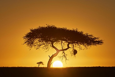
832-400079 - Silhouette of an acacia tree at sunrise, backlight shot, Serengeti National Park, Tanzania, East Africa, Africa
832-400080 - Giraffe (Giraffa camelopardalis), adult, standing in the bush, savannah, Tarangire National Park, Tanzania, East Africa, Africa
832-400081 - Giraffe (Giraffa camelopardalis), young animal standing in front of a group of trees, Tarangire National Park, Tanzania, East Africa, Africa
832-399552 - View into the Black River Gorges National Park and on a waterfall, south coast, Mauritius, Africa
832-399554 - View of Black River Gorges National Park, South Coast, Mauritius, Africa
832-400092 - Sassaby (Damaliscus lunatus jimela) antelope suckling its young, Masai Mara NP, Kenya, Africa
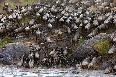
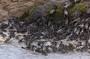
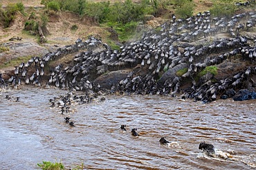
832-400097 - Wildebeest (Connochaetes) crossing the river, water, herd, Talek River, Masai Mara NP, Kenya, Africa
832-400098 - Wildebeest (Connochaetes) crossing the river, water, herd, Talek River, Masai Mara NP, Kenya, Africa
832-400099 - Wildebeest (Connochaetes) crossing the river, water, herd, Talek River, Masai Mara NP, Kenya, Africa
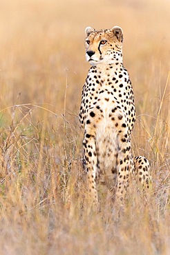
832-400104 - Cheetah (Acinonyx jubatus), sitting in withered grass, Masai Mara NP, Kenya, Africa
832-399456 - Gemsbok (Oryx gazella), South African spitbuck, adult, foraging, Mountain Zebra National Park, Eastern Cape, South Africa, Africa
832-399455 - Secretary bird (Sagittarius serpentarius), adult, foraging, concentrated, Mountain Zebra National Park, Eastern Cape, South Africa, Africa
832-399401 - Wooden ladders over the stream in the gorges of the Slovak Paradise. Slovakia, Slowacki Raj National Park, Slovakia, Europe
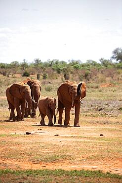
832-399340 - Herd of elephants in the savannah of East Africa, red elephants in the gene of Tsavo West National Park, Kenya, Africa
832-399210 - Cheetah (Acinonyx jubatus), sitting in the grass, Serengeti National Park, Tanzania, Africa
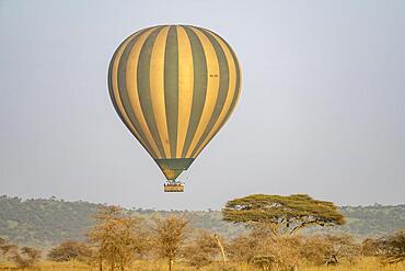
832-399209 - Early morning balloon flight, hot air balloon, Serengeti National Park, Tanzania, Africa
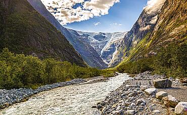
832-399047 - The Kjenndalsbreen Glacier in Stryn Municipality, Vestland, Norway, Europe
832-399046 - View of Lake Gjende and Bessvatnet from the Besseggen Ridge in Norway
832-399045 - Hikers walking on the famous Besseggen ridge in the Jotunheimen mountains, Norway, Europe
832-398997 - Musk ox (Ovibos moschatus) in the snow, Dovrefjell-Sunndalsfjella National Park, Norway, Europe
832-399044 - Hikers walking on the famous Besseggen ridge in the Jotunheimen mountains, Norway, Europe
832-398406 - Plitvice Lakes National Park, tourists on wooden walkway, waterfalls between the lower lakes, UNESCO World Heritage Site, Croatia, Europe
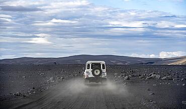
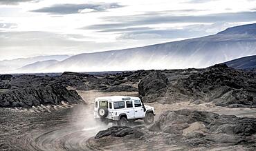
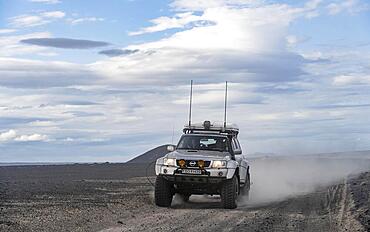
832-398380 - White Land Rover on a dirt road, volcanic landscape, barren landscape, Vatnajoekull National Park, Icelandic Highlands, Iceland, Europe
832-398379 - Track through volcanic landscape, barren landscape, Vatnajoekull National Park, Icelandic Highlands, Iceland, Europe
832-398378 - White Land Rover on a dirt road, volcanic landscape, barren landscape, Vatnajoekull National Park, Icelandic Highlands, Iceland, Europe
832-398377 - White Land Rover on a dirt road, volcanic landscape, barren landscape, Vatnajoekull National Park, Icelandic Highlands, Iceland, Europe
832-398376 - Four-wheel drive vehicle on a track, volcanic landscape, barren landscape, Vatnajoekull National Park, Icelandic Highlands, Iceland, Europe
832-398564 - Mossy rocks by the Gljun torrent, near Wasserall Slap Virje, Soca valley, Bovec, Triglav National Park, Slovenia, Europe
832-398563 - Waterfall Slap Kozjak, near Kobarid, Soca Valley, Triglav National Park, Slovenia, Europe
832-398562 - Moznica gorge, torrent in narrow canyon, Bovec, Soca valley, Triglav National Park, Slovenia, Europe
832-398551 - Mountain river Soca flows through narrow canyon, Soca Valley, Triglav National Park, Bovec, Slovenia, Europe
832-398550 - Mountain river Soca flows through narrow canyon, Soca Valley, Triglav National Park, Bovec, Slovenia, Europe
832-398549 - Mountain river Soca flows through narrow canyon, Soca Valley, Triglav National Park, Bovec, Slovenia, Europe
832-398636 - Cliff with rock formations near Oendverdarnes, long exposure, Oendveroarnes, Snaefellsjoekull National Park, Snaefellsnes Peninsula, Snaefellsnes, Vesturland, Iceland, Europe
832-398637 - Cliff with rock formations near Oendverdarnes, long exposure, Oendveroarnes, Snaefellsjoekull National Park, Snaefellsnes Peninsula, Snaefellsnes, Vesturland, Iceland, Europe
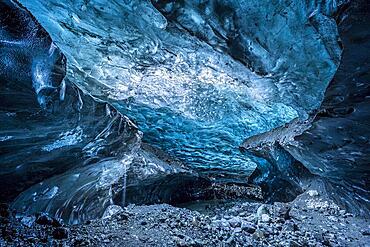
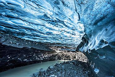
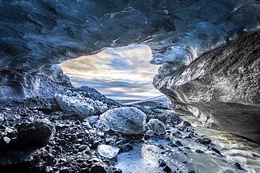
832-398632 - Ice cave in Vatnajoekull glacier, glacier cave, Vatnajoekull National Park, South Iceland, Iceland, Europe
832-398631 - Ice cave in Vatnajoekull glacier, glacier cave, Vatnajoekull National Park, South Iceland, Iceland, Europe
832-398630 - Ice cave in Vatnajoekull glacier, glacier cave, Vatnajoekull National Park, South Iceland, Iceland, Europe
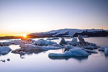
832-398629 - Joekulsarlon glacier lagoon at sunset, icebergs with glacier, Vatnajoekull National Park, Hornafjoerour, South Iceland, Iceland, Europe
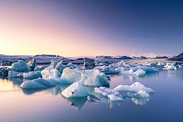
832-398628 - Joekulsarlon glacier lagoon in the evening mood, icebergs with glacier, Vatnajoekull National Park, Hornafjoerour, South Iceland, Iceland, Europe
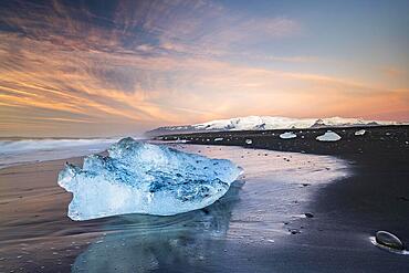
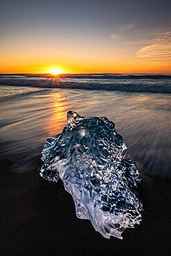
832-398626 - Diamond Beach, icebergs on black lava beach, at Joekulsarlon glacier lagoon, sunrise, Vatnajoekull National Park, Hornafjoerour, South Iceland, Iceland, Europe
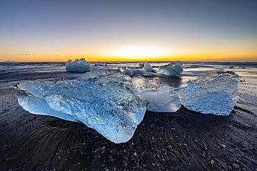
832-398627 - Diamond Beach, icebergs on black lava beach, at Joekulsarlon glacier lagoon, sunrise, Vatnajoekull National Park, Hornafjoerour, South Iceland, Iceland, Europe
832-398625 - Diamond Beach, icebergs on black lava beach, at Joekulsarlon glacier lagoon, sunrise, Vatnajoekull National Park, Hornafjoerour, South Iceland, Iceland, Europe
832-398624 - Diamond Beach, icebergs on black lava beach, at Joekulsarlon glacier lagoon, sunrise, Vatnajoekull National Park, Hornafjoerour, South Iceland, Iceland, Europe
832-398621 - Diamond Beach, icebergs on black lava beach, at Joekulsarlon glacier lagoon, sunrise, Vatnajoekull National Park, Hornafjoerour, South Iceland, Iceland, Europe
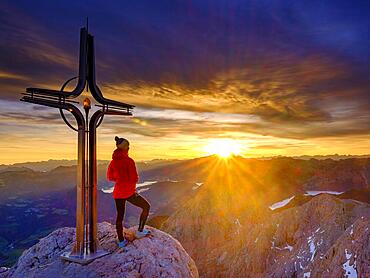
832-398597 - Mountaineer at the summit cross Hohe Goell at sunrise, Berchtesgaden Alps, Berchtesgaden National Park, Schoenau am Koenigssee, Berchtesgadener Land, Upper Bavaria, Bavaria, Germany, Europe
832-398595 - Mountaineer looks up, Berchtesgaden National Park, Ramsau, Berchtesgadener Land, Upper Bavaria, Bavaria, Germany, Europe
832-398594 - Mountaineer taking a break at the summit cross of the Schaertenspitze, Hochkalter, Berchtesgaden Alps, Berchtesgaden National Park, Ramsau, Berchtesgadener Land, Upper Bavaria, Bavaria, Germany, Europe
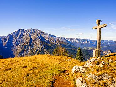
832-398592 - Summit cross of the Rotspielscheibe, in the back Watzmann with east face, Berchtesgaden Alps, Berchtesgaden National Park, Schoenau am Koenigssee, Berchtesgadener Land, Upper Bavaria, Bavaria, Germany, Europe
832-398591 - Colourful clouds at dawn, summit cross Hoher Goell, Berchtesgaden Alps, Berchtesgaden National Park, Schoenau am Koenigssee, Berchtesgadener Land, Upper Bavaria, Bavaria, Germany, Europe
832-398586 - Elephant (Loxodonta africana) baby with adut anim drinking water at the Cobe River. Chobe National Park, Botswana, Africa
832-398587 - Elephant (Loxodonta africana) herd with babies drinking water at the scenic Cobe River. Chobe National Park, Botswana, Africa
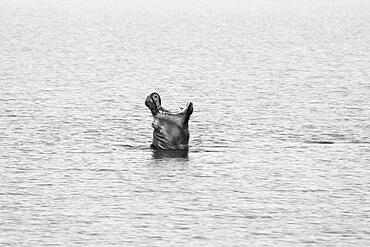
832-398584 - Hippopotamus (Hippopotamus amphibius) under water looking into camera. Black and white wildlife image. Hwange National Park, Zimbabwe, Africa
832-398583 - Zebras stand in water to drink. The common zebras (Equus burchelli) are in a line in the waterhole. Etosha National Park, Namibia, Africa
832-398582 - Green Acacia tree Vachellia tortilisstands in front of the Etosha salt pan in the desert. On the salt pan many animals are crossing from the left to the right. Etosha National Park, Namibia, Africa
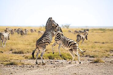
832-398581 - 2 Zebras (Equus burchelli) are fighting in the savannah. Both animals stand on their hint legs biting each other. Etosha National Park, Namibia, Africa
832-398580 - Wildebeest (Connochaetes taurinus) drinking at a waterhole with reflection. 2 Egyptian ducks sit on the other side of the water. Etosha National Park, Namibia, Africa
832-398579 - 2 lionesses (Loxodonta africana) observing the area of the Chobe river edge. Chobe National Park, Botswana, Africa
832-398577 - Hippos (Hippopotamus amphibius) yawning, the animal opens its mouth upward at the sky. Black and white image. Hwange National Park, Zimbabwe, Africa
832-398805 - View of the Mesa de Roldan lighthouse in the Cabo de Gata National Park, Almeria province, Andalusia, Spain, Europe
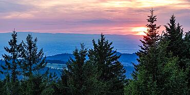
832-398790 - View from Schliffkopf at sunset in the Black Forest National Park, Forest, Northern Black Forest, Black Forest, Baden-Wuerttemberg, Germany, Europe
832-398789 - View from Schliffkopf at sunset, trees, forest, Black Forest National Park, Northern Black Forest, Black Forest, Baden-Wuerttemberg, Germany, Europe
832-398785 - View of a lake in Norway from the Besseggen ridge
832-398765 - View from Besseggen ridge to lake Gjende
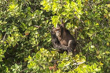
832-398288 - Chimpanzee on Baboon Island, River Gambia National Park, Gambia, West Africa, Africa
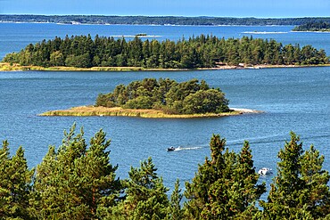
1350-6604 - Aerial view of the islands in front Mossala Island Resort Southwest Finland archipelago. The archipelago ring road or Saariston rengastie is full of things to see, do and do. The Archipelago Trail can be taken clockwise or counter clockwise, starting in the historical city of Turku, and continuing through rural archipelago villages and astonishing Baltic Sea sceneries. The Trail can be taken from the beginning of June until the end of August.
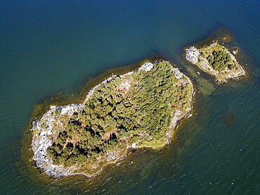
1350-6605 - Aerial view of small island in front Mossala Island Resort Southwest Finland archipielago. The archipelago ring road or Saariston rengastie is full of things to see, do and do. The Archipelago Trail can be taken clockwise or counter clockwise, starting in the historical city of Turku, and continuing through rural archipelago villages and astonishing Baltic Sea sceneries. The Trail can be taken from the beginning of June until the end of August.
1350-6437 - First light at sunrise on the Wingate cliffs of Junction Butte & Grandview Point with a sea of clouds below. Canyonlands NP, Utah. A winter temperature inversion produce this weather phenomenon.
1350-6432 - Washer Woman Arch & Monster Tower thru Mesa Arch in winter in the Island in the Sky District of Canyonlands NP, Utah.
1350-6431 - Cloudy sunrise over Buck Canyon, the White Rim & the La Sal Mountains, Canyonlands National Park, Moab, Utah. Viewed from the Buck Canyon Overlook in the Island in the Sky District of Canyonlands NP.

