Recent searches
Loading...
1243-545 - Aerial drone panoramic view of Casino Estoril in Estoril, Portugal at night, the inspiration for Ian Fleming's 'Casino Royale'
1243-544 - Aerial drone panoramic view of Parque dos Poetas in Oeiras, Lisbon, Portugal. The park extends over 25 hectares of green areas , embellished with more than 60 statues in honor of 60 poets, with capacity for 30 to 40 thousand visitors and free admission
1278-446 - Cagliari panoramic view of Collegiate Church of Sant Anna with dome and bell towers in Sardinia Island, Italy.
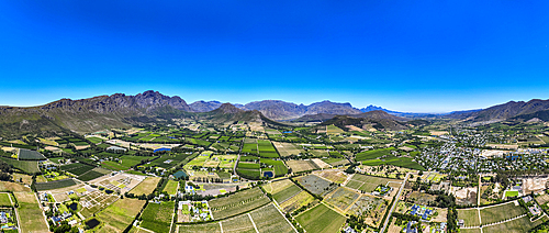
1243-543 - Panoramic view of vineyards and mountains near Wellington, a town in the Western Cape Winelands, a 45-minute drive from Cape Town, in South Africa with a population of approximately 62,000
1243-542 - Aerial drone panoramic view of Bo-Kaap, an area of Cape Town, South Africa formerly known as the Malay Quarter. It is a former racially segregated area, situated on the slopes of Signal Hill above the city centre
1243-537 - Aerial drone panoramic view of the V&A Waterfront is a mixed-use destination located in the oldest working harbour in the Southern Hemisphere. With Table Mountain as its backdrop, the 123-hectare neighbourhood is located within the Cape Town, South Africa
1243-533 - Aerial drone panoramic view of Northern residential suburbs in Cape Town, South Africa looking towards the south and Table Mountain
1243-532 - Aerial drone panoramic view capturing the cityscape of Cape Town, South Africa as dusk sets in, highlighting the downtown buildings with a warm glow against the silhouette of Table Mountain and Lion's Head
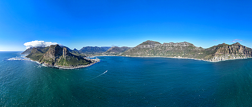
1243-529 - Aerial panoramic view of Hout Bay, a seaside suburb of Cape Town in the Western Cape province of South Africa. It is situated in a valley on the Atlantic seaboard of the Cape Peninsula, twenty kilometres south of the Central business district of Cape Town
1372-335 - Panoramic view along a alpine mountain chain of northern Italy. Naturpark Alta Valle Antrona
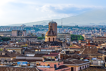
1278-430 - The Ancient Royal and Eminent Basilica Collegiate of Our Lady of the Alms panoramic view around traditional buildings in Catania, Sicily Italy.
1278-429 - San Michele Arcangelo ai Minoriti Roman Catholic parish church panoramic view around traditional buildings in the city center of Catania Sicily, Italy.
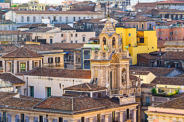
1278-427 - Catania panoramic view with traditional buildings, San Placido Roman Catholic church, and former Benedictine monastery in Sicily, Italy.
1278-428 - Catania panoramic view with traditional buildings, San Placido Roman Catholic church, and former Benedictine monastery in Sicily, Italy.
1353-690 - Panoramic View of Hen Cloud and The Roaches in autumn, near Leek, Peak District National Park, Staffordshire Moorlands, Staffordshire, England, UK
1372-270 - Panoramic view, sunrise at Tongariro-Nationalpark. Crater of Blue lake and Tongariro Volcano. New Zealand
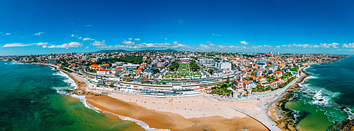
1243-527 - Aerial drone panoramic view of Tamariz beach and Estoril neighbourhood in the Portuguese Riviera 28km west of Lisbon. The iconic Casino Estoril is visible in the centre.
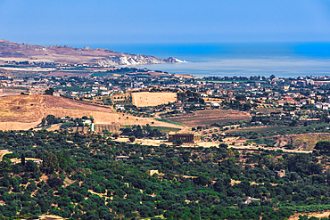
1278-421 - Valley of the Temples landscape panoramic view with the archaeological area and temple visible in Agrigento, Italy.
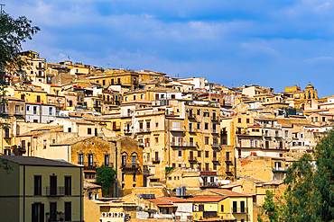
1278-420 - Agrigento town landscape panoramic view with houses with traditional architecture and balconies visible in Sicily, Italy.
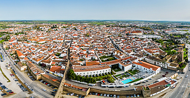
1243-526 - Aerial drone panoramic view of the historic Centre of Évora, Alentejo, Portugal. The city has roots go back to Roman times, reached its golden age in the 15th century, when it became the residence of the Portuguese kings
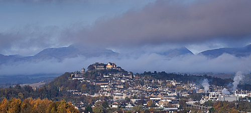
1353-672 - Panoramic image of the City of Stirling and Stirling Castle in autumn, Stirling, Stirlingshire, Scotland, UK
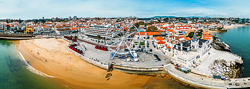
1243-525 - Aerial drone panoramic view of Ribeira beach with a ferris wheel set up during the winter months, Cascais, Portugal, Europe
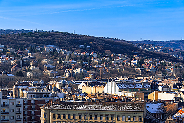
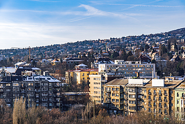
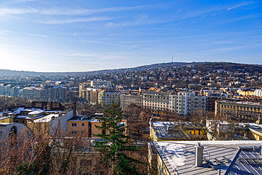
1278-415 - Panoramic landscape with hill houses in winter with melting snow on rooftops, Budapest, Hungary, Europe
1278-413 - Panoramic landscape with hill houses in winter with melting snow on rooftops, Budapest, Hungary, Europe
1278-414 - Panoramic landscape with hill houses in winter with melting snow on rooftops, Budapest, Hungary, Europe
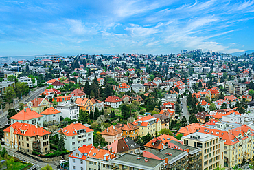
1278-392 - Panoramic landscape view of buildings in Bratislava, Slovakia, Europe
1178-44374 - Layers of clouds from altitude 31,000 feet at sunrise
1372-150 - Panoramic view of Mount Taraniki, snowy volcano summit with a blue sky and forest in the evening, North Island, New Zealand, Pacific
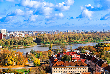
1278-382 - Landscape panoramic view of city skyline with houses and skyscrapers under a blue sky with clouds and greenery around Vistula River with Praga borough visible, Warsaw, Poland, Europe
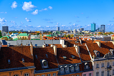
1278-377 - Panoramic view of city skyline with traditional low-rise roof-tiled houses and modern skyscrapers under a blue sky with clouds, Warsaw, Poland, Europe
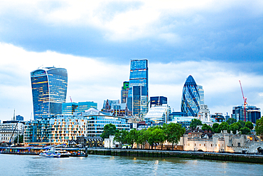
1265-340 - panoramic view over London from the Tower Bridge to the City across the Thames
1265-339 - panoramic view from Greenwich on Canary Wharf
1278-352 - Madrid center skyline panoramic view with iconic buildings visible under a blue sky with clouds.
1278-351 - Madrid skyline panoramic view with warm hues of the evening sky casting a golden glow on the buildings.
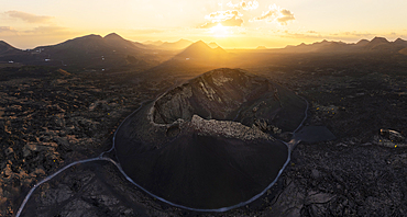
1369-188 - Aerial and panoramic view of Volcan El Cuervo at sunset, Tinajo, Las Palmas, Lanzarote, Canary Islands, Spain, Western Europe
844-32682 - View of sunrise and palm tree reflections in hotel pool near Puerto Morelos, Caribbean Coast, Yucatan Peninsula, Mexico, North America
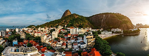
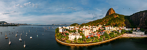
1243-484 - Aerial drone panorama of Urca neighbourhood and surrounding Botafogo and Guanabara Bay, UNESCO World Heritage Site, between the Mountain and the Sea, inscribed on the World Heritage List in 2012, Rio de Janeiro, Brazil, South America
1243-483 - Aerial drone panorama of Urca neighbourhood and surrounding Botafogo and Guanabara Bay, UNESCO World Heritage Site, between the Mountain and the Sea, inscribed on the World Heritage List in 2012, Rio de Janeiro, Brazil, South America
1243-482 - Aerial drone panorama of Urca neighbourhood and surrounding Botafogo and Guanabara Bay, UNESCO World Heritage Site, between the Mountain and the Sea, inscribed on the World Heritage List in 2012, Rio de Janeiro, Brazil, South America
1265-324 - Castillo de Colomares, a castle monument dedicated to Christopher Columbus, Benalmadena, Andalusia, Spain, Europe
1265-323 - Ancient Arab fortress of The Alhambra, UNESCO World Heritage Site, Granada, Andalusia, Spain, Europe
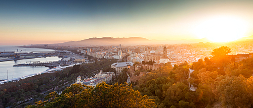
1265-322 - View over Malaga at sunset, Andalusia, Spain, Europe
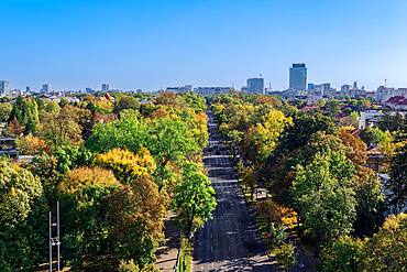
1278-349 - Panoramic city view with park and modern buildings in the background under a clear blue sky, Bucharest, Romania, Europe
1184-10146 - Panorama of Hout Bay, Cape Town, Cape Peninsula, South Africa, Africa
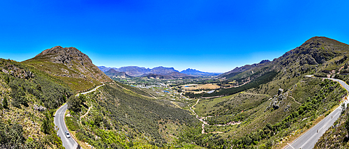
1184-10143 - Panorama of Chapman´s Peak drive, Cape Town, Cape Peninsula, South Africa, Africa
1184-10083 - Panorama of Cape Town, South Africa, Africa
1184-10081 - Panorama of Cape Town, South Africa, Africa
1184-10071 - Panorama of Franschhoek, wine area, Western Cape Province, South Africa, Africa
1184-10070 - Panorama of Franschhoek, wine area, Western Cape Province, South Africa, Africa
1184-9983 - Panorama of the colourful beach huts on the beach of Muizenberg, Cape Town, South Africa, Africa
1184-9982 - Panorama of the colourful beach huts on the beach of Muizenberg, Cape Town, South Africa, Africa
1320-248 - Aerial view of the lava flow from the Grindavik eruption, Iceland, Polar Regions
844-32401 - View of wall art at Chinese Embassy, Chinatown, Port Louis, Mauritius, Indian Ocean, Africa
844-32399 - View of wall art at Chinese Embassy, Chinatown, Port Louis, Mauritius, Indian Ocean, Africa
844-32373 - View of wall art at Chinese Embassy, Chinatown, Port Louis, Mauritius, Indian Ocean, Africa
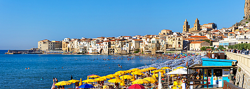
1237-687 - Panoramic view of Cefalu, Province of Palermo, Sicily, Italy, Mediterranean, Europe
1237-678 - Tourists dining with panoramic view of Sorrento, Bay of Naples, Campania, Italy, Mediterranean, Europe
1237-677 - Panoramic view of Cefalu, Province of Palermo, Sicily, Italy, Mediterranean, Europe
1237-675 - Panoramic view from Forchtenstein Castle, Burgenland, Austria, Europe
1237-671 - The Tonnata (old tuna factory), Santa Caterina Fortress, Favignana, Aegadian Islands, Sicily, Italy, Mediterranean, Europe
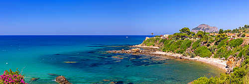
1237-668 - Panoramic rugged coastline near Cefalu, Mediterranean Sea, Province of Palermo, Sicily, Italy, Mediterranean, Europe
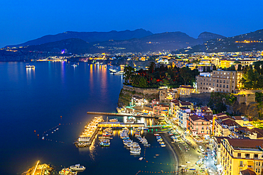
1237-665 - Panoramic dusk view of Sorrento, Bay of Naples, Campania, Italy, Mediterranean, Europe
1237-649 - Panoramic view of Cefalu, Province of Palermo, Sicily, Italy, Mediterranean, Europe
1237-639 - Panoramic dusk view of Sorrento, Bay of Naples, Campania, Italy, Mediterranean, Europe
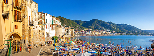
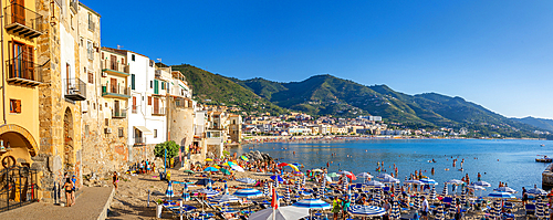
1237-626 - Panoramic view of tourists on beach, mountains in background, Cefalu, Province of Palermo, Sicily, Italy, Mediterranean, Europe
1237-623 - Panoramic view of Levanzo Island, Cala Dogana, Aegadian Islands, province of Trapani, Sicily, Italy, Mediterranean, Europe
1237-620 - Panoramic view of tourists on beach, mountains in background, Cefalu, Province of Palermo, Sicily, Italy, Mediterranean, Europe
1376-78 - Panoramic view from Finsthwaite Heights, towards the Northern fells beyond Windermere, Lake District National Park, UNESCO World Heritage Site, Cumbria, England, United Kingdom, Europe
844-32342 - View of Pieter Both and Long Mountain, Nouvelle Decouverte, Mauritius, Indian Ocean, Africa
844-32340 - View of Pieter Both and Long Mountain, Nouvelle Decouverte, Mauritius, Indian Ocean, Africa
844-32339 - View of Pieter Both and Long Mountain, Nouvelle Decouverte, Mauritius, Indian Ocean, Africa
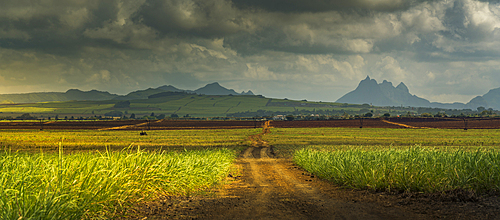
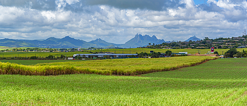
844-32336 - View of landscape and Long Mountain in the interior from near Petit Raffray, Mauritius, Indian Ocean, Africa
844-32334 - View of Pieter Both and Long Mountain, Mauritius, Indian Ocean, Africa
844-32331 - View of Pieter Both and Long Mountain, Mauritius, Indian Ocean, Africa
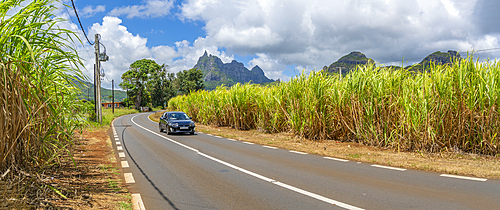
844-32259 - View of road leading to Pieter Both near Vallee du Paradis, Mauritius, Indian Ocean, Africa
844-32257 - View of landscape and Long Mountain in the interior from near Petit Raffray, Mauritius, Indian Ocean, Africa
844-32254 - View of landscape from near the Bois Cheri Tea Estate, Savanne District, Mauritius, Indian Ocean, Africa
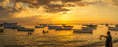
844-32228 - View of boats and people on Mon Choisy Public Beach at sunset, Mauritius, Indian Ocean, Africa
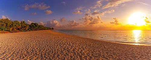
844-32227 - View of Le Morne Public Beach at sunset, Le Morne, Riviere Noire District, Mauritius, Indian Ocean, Africa
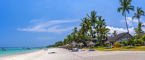
844-32178 - View of Beach at Trou-aux-Biches and turquoise Indian Ocean on sunny day, Trou-aux-Biches, Mauritius, Indian Ocean, Africa
844-32162 - View of Beach at Trou-aux-Biches and turquoise Indian Ocean on sunny day, Trou-aux-Biches, Mauritius, Indian Ocean, Africa
844-32157 - View of Long Mountains at sunset near Beau Bois, Mauritius, Indian Ocean, Africa
1353-628 - Panoramic image of dawn over Parkhouse Hill and Chrome Hill in winter, Peak District National Park, Derbyshire, England, UK
1202-722 - Evening mist in the valley of the East Lyn River, near Lynmouth, Exmoor National Park, Devon, England, United Kingdom, Europe
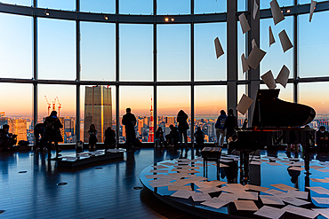
1372-119 - Panoramic view through a big window in Roppongi Hills, with visitors enjoying the evening light, silhouettes and grand piano, Tokyo, Honshu, Japan, Asia
1235-315 - Picturesque view on Mountains of Durmitor National Park along Durmitor Panoramic Route, Durmitor, Montenegro
1235-314 - Picturesque view on Mountains of Durmitor National Park along Durmitor Panoramic Route, Durmitor, Montenegro
1235-312 - Picturesque view on Mountains of Durmitor National Park along Durmitor Panoramic Route, Durmitor, Montenegro
1235-313 - Picturesque view on Mountains of Durmitor National Park along Durmitor Panoramic Route, Durmitor, Montenegro
1235-311 - Picturesque view on Mountains of Durmitor National Park along Durmitor Panoramic Route, Durmitor, Montenegro
1235-310 - Picturesque view on Mountains of Durmitor National Park along Durmitor Panoramic Route, Durmitor, Montenegro
1235-308 - Picturesque view on Mountains of Durmitor National Park along Durmitor Panoramic Route, Durmitor, Montenegro
1235-309 - Picturesque view on Mountains of Durmitor National Park along Durmitor Panoramic Route, Durmitor, Montenegro
1235-307 - Picturesque view on Mountains of Durmitor National Park along Durmitor Panoramic Route, Durmitor, Montenegro
1235-306 - Picturesque view on Mountains of Durmitor National Park along Durmitor Panoramic Route, Durmitor, Montenegro
1235-304 - Picturesque view on Mountains of Durmitor National Park along Durmitor Panoramic Route, Durmitor, Montenegro
1235-305 - Picturesque view on Mountains of Durmitor National Park along Durmitor Panoramic Route, Durmitor, Montenegro
1235-303 - Picturesque view on Mountains of Durmitor National Park along Durmitor Panoramic Route, Durmitor, Montenegro
1235-301 - Picturesque view on Mountains of Durmitor National Park along Durmitor Panoramic Route, Durmitor, Montenegro
1235-302 - Picturesque view on Mountains of Durmitor National Park along Durmitor Panoramic Route, Durmitor, Montenegro


